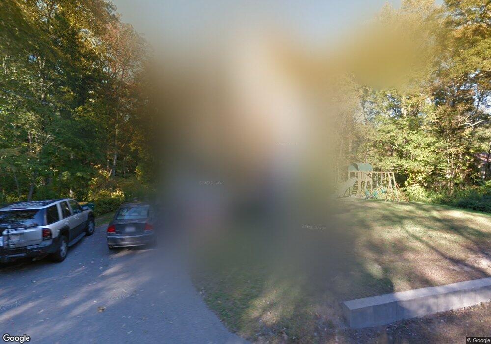
97 Balcom St Mansfield, MA 02048
Estimated Value: $571,000 - $648,000
3
Beds
2
Baths
1,600
Sq Ft
$377/Sq Ft
Est. Value
About This Home
This home is located at 97 Balcom St, Mansfield, MA 02048 and is currently estimated at $603,348, approximately $377 per square foot. 97 Balcom St is a home located in Bristol County with nearby schools including Everett W. Robinson Elementary School, Jordan/Jackson Elementary School, and Harold L. Qualters Middle School.
Ownership History
Date
Name
Owned For
Owner Type
Purchase Details
Closed on
Nov 17, 2005
Sold by
Hasting Bradford K
Bought by
Theroux Todd W and Lynch Meagan E
Current Estimated Value
Home Financials for this Owner
Home Financials are based on the most recent Mortgage that was taken out on this home.
Original Mortgage
$297,200
Outstanding Balance
$163,140
Interest Rate
6.07%
Mortgage Type
Purchase Money Mortgage
Estimated Equity
$440,208
Purchase Details
Closed on
Jul 1, 2005
Sold by
Blanchette Mark S and Young Robert E
Bought by
Hastings Bradford K
Home Financials for this Owner
Home Financials are based on the most recent Mortgage that was taken out on this home.
Original Mortgage
$250,000
Interest Rate
5.73%
Mortgage Type
Purchase Money Mortgage
Purchase Details
Closed on
Nov 27, 2002
Sold by
Mutlow Rose E
Bought by
Blanchette Mark S and Young Robert E
Create a Home Valuation Report for This Property
The Home Valuation Report is an in-depth analysis detailing your home's value as well as a comparison with similar homes in the area
Home Values in the Area
Average Home Value in this Area
Purchase History
| Date | Buyer | Sale Price | Title Company |
|---|---|---|---|
| Theroux Todd W | $371,500 | -- | |
| Hastings Bradford K | $150,000 | -- | |
| Blanchette Mark S | $72,000 | -- |
Source: Public Records
Mortgage History
| Date | Status | Borrower | Loan Amount |
|---|---|---|---|
| Open | Theroux Todd W | $297,200 | |
| Previous Owner | Hastings Bradford K | $250,000 |
Source: Public Records
Tax History
| Year | Tax Paid | Tax Assessment Tax Assessment Total Assessment is a certain percentage of the fair market value that is determined by local assessors to be the total taxable value of land and additions on the property. | Land | Improvement |
|---|---|---|---|---|
| 2025 | $6,104 | $463,500 | $205,300 | $258,200 |
| 2024 | $5,955 | $441,100 | $205,300 | $235,800 |
| 2023 | $5,787 | $410,700 | $205,300 | $205,400 |
| 2022 | $5,587 | $368,300 | $190,100 | $178,200 |
| 2021 | $6,335 | $359,200 | $166,300 | $192,900 |
| 2020 | $6,278 | $346,100 | $158,400 | $187,700 |
| 2019 | $4,986 | $327,600 | $132,000 | $195,600 |
| 2018 | $4,703 | $317,800 | $125,800 | $192,000 |
| 2017 | $4,637 | $308,700 | $122,100 | $186,600 |
| 2016 | $4,504 | $292,300 | $116,300 | $176,000 |
| 2015 | $4,388 | $283,100 | $116,300 | $166,800 |
Source: Public Records
Map
Nearby Homes
- 14 Claire Ave
- 44 Surrey Dr
- 85 Jewell St
- 150 Gilbert St
- 2 Oak St Unit 2B
- 451R Gilbert St
- 128 Tremont St
- 24 Maverick Dr
- 49 Pheasant Hill Rd
- 71 Richardson Ave
- 1769 West St
- 250 Mansfield Ave Unit 11
- 25 Shepherd St
- 17 Childs Ln
- 143 Oak St Unit 10
- 343 Godfrey Dr
- 10 Walter St
- 101 Godfrey Dr Unit 101
- 115 Westfield Dr
- 345 Richardson Ave
Your Personal Tour Guide
Ask me questions while you tour the home.