97 Cribbs Ln Register, GA 30452
Estimated Value: $154,000 - $394,385
3
Beds
2
Baths
2,574
Sq Ft
$102/Sq Ft
Est. Value
About This Home
This home is located at 97 Cribbs Ln, Register, GA 30452 and is currently estimated at $263,096, approximately $102 per square foot. 97 Cribbs Ln is a home with nearby schools including Nevils Elementary School, Southeast Bulloch High School, and Southeast Bulloch Middle School.
Ownership History
Date
Name
Owned For
Owner Type
Purchase Details
Closed on
Jan 31, 2019
Sold by
Newman Daniel Michael
Bought by
Newman Daniel Michael and Newman Kathy A
Current Estimated Value
Purchase Details
Closed on
Nov 29, 2007
Sold by
Not Provided
Bought by
Newman Daniel Michael and Newman Kathy A
Home Financials for this Owner
Home Financials are based on the most recent Mortgage that was taken out on this home.
Original Mortgage
$110,278
Interest Rate
6.22%
Mortgage Type
New Conventional
Create a Home Valuation Report for This Property
The Home Valuation Report is an in-depth analysis detailing your home's value as well as a comparison with similar homes in the area
Home Values in the Area
Average Home Value in this Area
Purchase History
| Date | Buyer | Sale Price | Title Company |
|---|---|---|---|
| Newman Daniel Michael | -- | -- | |
| Newman Daniel Michael | -- | -- |
Source: Public Records
Mortgage History
| Date | Status | Borrower | Loan Amount |
|---|---|---|---|
| Previous Owner | Newman Daniel Michael | $110,278 |
Source: Public Records
Tax History Compared to Growth
Tax History
| Year | Tax Paid | Tax Assessment Tax Assessment Total Assessment is a certain percentage of the fair market value that is determined by local assessors to be the total taxable value of land and additions on the property. | Land | Improvement |
|---|---|---|---|---|
| 2024 | $1,760 | $102,644 | $37,200 | $65,444 |
| 2023 | $1,701 | $85,760 | $26,760 | $59,000 |
| 2022 | $1,308 | $73,190 | $22,354 | $50,836 |
| 2021 | $1,172 | $65,637 | $22,354 | $43,283 |
| 2020 | $1,057 | $56,517 | $18,628 | $37,889 |
| 2019 | $1,061 | $56,076 | $17,934 | $38,142 |
| 2018 | $973 | $49,773 | $14,942 | $34,831 |
| 2017 | $957 | $48,642 | $14,942 | $33,700 |
| 2016 | $785 | $32,413 | $8,947 | $23,466 |
| 2015 | -- | $31,793 | $8,947 | $22,846 |
| 2014 | -- | $0 | $0 | $0 |
Source: Public Records
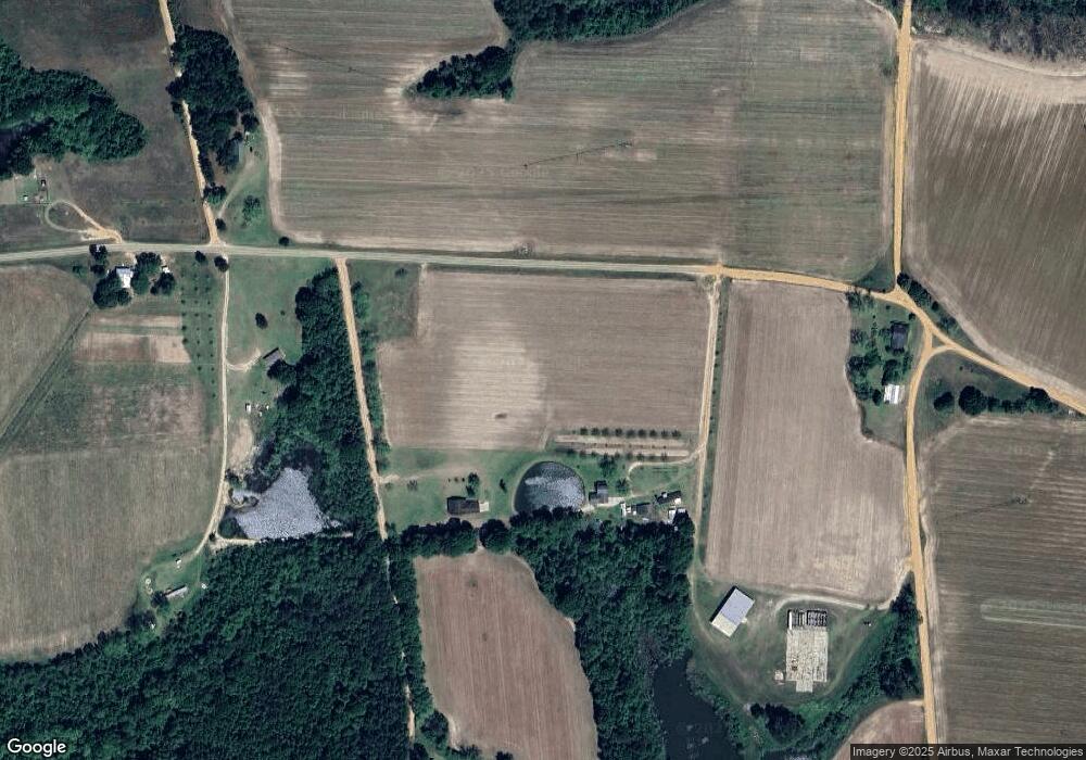
Map
Nearby Homes
- 0 Hwy 301 S
- Phoenix Plan at Preferred Homes of Claxton
- Augusta Plan at Preferred Homes of Claxton
- 0 Waters Ln Unit LOT 6
- 0 Waters Ln Unit LOT 5
- 0 Waters Ln Unit LOTS 1 & 2
- 0 Waters Ln Unit LOT 3
- 0 Waters Ln Unit LOT 4
- 0 Mosley Rd Unit 10630884
- 11959 U S 301
- 2637 Mosley Rd
- 1122 Turf Rd
- 19410 Georgia 169
- 0 Sink Hole Rd Unit 10600180
- 204 Nevils Groveland Rd
- 0 Ryegrass Rd Unit 81
- 930 Ryegrass Rd Unit 42
- 0 Ryegrass Rd Unit 87 10609406
- 0 Ryegrass Rd Unit 68 10533177
- 0 Ryegrass Rd Unit 88 10564214
- 2620 D Anderson Rd
- 2620 D Anderson Rd
- 0 Ephesus Church Rd Unit 304443
- 0 Ephesus Church Rd Unit 10237038
- 0 Ephesus Church Rd Unit 8845337
- 0 Ephesus Church Rd Unit 4
- 2218 Ephesus Church Rd
- 2472 D Anderson Rd
- 1612 Ephesus Church Rd
- 0 Ephesus Church Rd
- 1221 W Anderson Rd
- 475 New Castle Rd
- 1186 W Anderson Rd
- 80 Ephesus Church Rd
- 1412 Ephesus Church Rd
- W W Anderson Rd
- 1397 Ephesus Church Rd Unit 3
- 1397 Ephesus Church Rd
- 508 New Castle Rd
- 1368 Ephesus Church Rd Unit 4