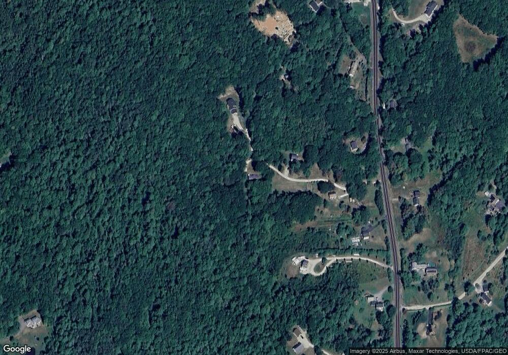
97 Durham Rd Freeport, ME 04032
Estimated Value: $279,000 - $442,000
2
Beds
1
Bath
634
Sq Ft
$538/Sq Ft
Est. Value
About This Home
This home is located at 97 Durham Rd, Freeport, ME 04032 and is currently estimated at $341,383, approximately $538 per square foot. 97 Durham Rd is a home with nearby schools including Morse Street School, Mast Landing School, and Freeport Middle School.
Create a Home Valuation Report for This Property
The Home Valuation Report is an in-depth analysis detailing your home's value as well as a comparison with similar homes in the area
Home Values in the Area
Average Home Value in this Area
Tax History
| Year | Tax Paid | Tax Assessment Tax Assessment Total Assessment is a certain percentage of the fair market value that is determined by local assessors to be the total taxable value of land and additions on the property. | Land | Improvement |
|---|---|---|---|---|
| 2025 | $3,041 | $219,600 | $190,700 | $28,900 |
| 2024 | $2,812 | $210,600 | $181,700 | $28,900 |
| 2023 | $2,618 | $190,400 | $165,200 | $25,200 |
| 2022 | $2,376 | $174,100 | $157,100 | $17,000 |
| 2021 | $2,105 | $157,700 | $157,100 | $600 |
| 2020 | $2,045 | $146,100 | $145,500 | $600 |
| 2019 | $1,973 | $138,000 | $137,400 | $600 |
| 2018 | $1,940 | $128,900 | $128,300 | $600 |
| 2017 | $1,884 | $126,000 | $125,500 | $500 |
| 2016 | $1,844 | $116,700 | $116,200 | $500 |
| 2015 | $1,831 | $109,000 | $108,500 | $500 |
| 2014 | $1,722 | $109,000 | $108,500 | $500 |
| 2013 | $1,691 | $106,700 | $101,100 | $5,600 |
Source: Public Records
Map
Nearby Homes
Your Personal Tour Guide
Ask me questions while you tour the home.