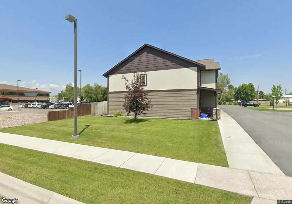
97 Financial Dr Unit A Kalispell, MT 59901
Estimated Value: $396,000 - $1,829,000
3
Beds
3
Baths
1,532
Sq Ft
$500/Sq Ft
Est. Value
About This Home
This home is located at 97 Financial Dr Unit A, Kalispell, MT 59901 and is currently estimated at $765,484, approximately $499 per square foot. 97 Financial Dr Unit A is a home located in Flathead County with nearby schools including Lillian Peterson School, Kalispell Middle School, and Flathead High School.
Ownership History
Date
Name
Owned For
Owner Type
Purchase Details
Closed on
Jan 23, 2017
Sold by
Glacier Land & Development Llc
Bought by
Paulson Frederick L and Paulson Fredrick C
Current Estimated Value
Home Financials for this Owner
Home Financials are based on the most recent Mortgage that was taken out on this home.
Original Mortgage
$565,100
Outstanding Balance
$430,496
Interest Rate
4.13%
Mortgage Type
Future Advance Clause Open End Mortgage
Estimated Equity
$334,988
Create a Home Valuation Report for This Property
The Home Valuation Report is an in-depth analysis detailing your home's value as well as a comparison with similar homes in the area
Purchase History
| Date | Buyer | Sale Price | Title Company |
|---|---|---|---|
| Paulson Frederick L | -- | Insured Titles |
Source: Public Records
Mortgage History
| Date | Status | Borrower | Loan Amount |
|---|---|---|---|
| Open | Paulson Frederick L | $565,100 |
Source: Public Records
Tax History
| Year | Tax Paid | Tax Assessment Tax Assessment Total Assessment is a certain percentage of the fair market value that is determined by local assessors to be the total taxable value of land and additions on the property. | Land | Improvement |
|---|---|---|---|---|
| 2025 | $2,191 | $438,400 | $0 | $0 |
| 2024 | $2,532 | $325,200 | $0 | $0 |
| 2023 | $2,951 | $325,200 | $0 | $0 |
| 2022 | $3,194 | $269,400 | $0 | $0 |
| 2021 | $2,899 | $269,400 | $0 | $0 |
| 2020 | $2,626 | $203,600 | $0 | $0 |
| 2019 | $2,621 | $203,600 | $0 | $0 |
| 2018 | $2,535 | $187,700 | $0 | $0 |
| 2017 | $2,623 | $194,900 | $0 | $0 |
Source: Public Records
Map
Nearby Homes
- 630 Corporate Dr
- 622 Corporate Dr
- 71 Hawthorn Ave
- 114 Lambert Ct
- 163 Greenbriar Dr
- 97 Hawthorn W
- 1000 W Idaho St
- 186 Glenwood Dr
- Lot 8 Liberty St
- 87 Northern Lights Blvd
- 221 Hawthorn Ave
- 577 6th Avenue West N
- 1086 N Meridian Rd
- 786 5th Avenue West N
- 503 W Oregon St
- 36 9th Ave W
- 417 W Arizona St
- 475 3rd Avenue West N
- 5 6th Ave W
- 26 W View Dr
- 97 Financial Dr Unit D
- 97 Financial Dr Unit C
- 97 Financial Dr Unit B
- 97 Financial Dr
- 97 Financial Dr Unit C
- 97 Financial Dr Unit B
- 97 Financial Dr Unit D
- 97 Financial Dr Unit A
- 97 Financial Dr Unit D
- 97 Financial Dr Unit C
- 97 Financial Dr Unit A
- 97 Financial Dr Unit B
- 97 Financial Dr
- 95 Financial Dr
- 91 & 97 Financial Dr Dr Unit A
- 91 & 97 Financial Dr Dr
- 91 Financial Dr
- 91 Financial Dr Unit 93 & 97
- 91 Financial Dr
- 100 Financial Dr
Your Personal Tour Guide
Ask me questions while you tour the home.