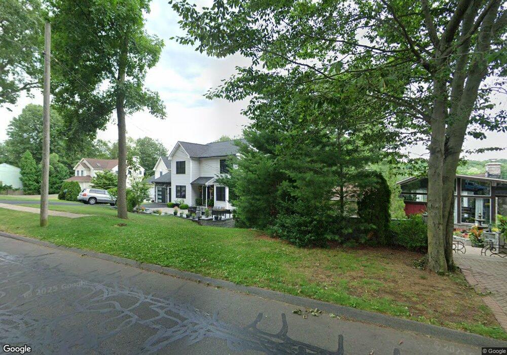
97 Goff Rd Wethersfield, CT 06109
Estimated Value: $432,000 - $590,000
3
Beds
3
Baths
2,187
Sq Ft
$230/Sq Ft
Est. Value
About This Home
This home is located at 97 Goff Rd, Wethersfield, CT 06109 and is currently estimated at $503,891, approximately $230 per square foot. 97 Goff Rd is a home located in Hartford County with nearby schools including Samuel B. Webb Elementary School, Silas Deane Middle School, and Wethersfield High School.
Ownership History
Date
Name
Owned For
Owner Type
Purchase Details
Closed on
May 26, 1999
Sold by
Souza John and Souza Robin
Bought by
Mills Gregory B
Current Estimated Value
Home Financials for this Owner
Home Financials are based on the most recent Mortgage that was taken out on this home.
Original Mortgage
$157,400
Outstanding Balance
$36,696
Interest Rate
6.82%
Estimated Equity
$467,195
Purchase Details
Closed on
Nov 30, 1995
Sold by
Premier Bldg & Dev Inc
Bought by
Souza Jhohn and Souza Robin
Home Financials for this Owner
Home Financials are based on the most recent Mortgage that was taken out on this home.
Original Mortgage
$130,960
Interest Rate
1.3%
Mortgage Type
Unknown
Create a Home Valuation Report for This Property
The Home Valuation Report is an in-depth analysis detailing your home's value as well as a comparison with similar homes in the area
Home Values in the Area
Average Home Value in this Area
Purchase History
| Date | Buyer | Sale Price | Title Company |
|---|---|---|---|
| Mills Gregory B | $174,900 | -- | |
| Souza Jhohn | $163,700 | -- |
Source: Public Records
Mortgage History
| Date | Status | Borrower | Loan Amount |
|---|---|---|---|
| Open | Souza Jhohn | $157,400 | |
| Previous Owner | Souza Jhohn | $10,349 | |
| Previous Owner | Souza Jhohn | $134,000 | |
| Previous Owner | Souza Jhohn | $130,960 |
Source: Public Records
Tax History
| Year | Tax Paid | Tax Assessment Tax Assessment Total Assessment is a certain percentage of the fair market value that is determined by local assessors to be the total taxable value of land and additions on the property. | Land | Improvement |
|---|---|---|---|---|
| 2025 | $13,266 | $321,830 | $100,940 | $220,890 |
| 2024 | $9,228 | $213,510 | $65,750 | $147,760 |
| 2023 | $8,920 | $213,510 | $65,750 | $147,760 |
| 2022 | $8,771 | $213,510 | $65,750 | $147,760 |
| 2021 | $8,683 | $213,510 | $65,750 | $147,760 |
| 2020 | $8,688 | $213,510 | $65,760 | $147,750 |
| 2019 | $8,698 | $213,510 | $65,760 | $147,750 |
| 2018 | $8,074 | $198,000 | $62,300 | $135,700 |
| 2017 | $7,874 | $198,000 | $62,300 | $135,700 |
| 2016 | $7,631 | $198,000 | $62,300 | $135,700 |
| 2015 | $7,562 | $198,000 | $62,300 | $135,700 |
| 2014 | $7,275 | $198,000 | $62,300 | $135,700 |
Source: Public Records
Map
Nearby Homes
- 129 Goff Rd
- 273 Forest Dr
- 173 Timber Trail
- 15 Potter Crossing
- 62 Schoolhouse Crossing
- 25 Tinsmith Crossing
- 20 Forest Dr
- 295 Ridge Rd Unit 8
- 7 Barrington Dr Unit C
- 764 Ridge Rd
- 274 Cedarwood Ln
- 1 Bristol St
- 79 Piper Brook Ave
- 88 Hawley St
- 32 Garvan St
- 19 Albert Ave
- 46 Piper Brook Ave
- 84 Connecticut Ave
- 24 Millbrook Ct Unit 24 Millbrook Ct Newi
- 455 Brimfield Rd
Your Personal Tour Guide
Ask me questions while you tour the home.