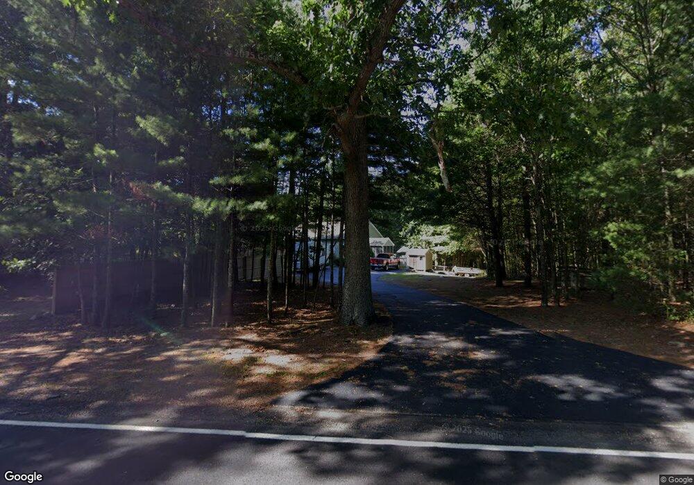
97 Howland Rd Assonet, MA 02702
Estimated Value: $497,000 - $677,000
2
Beds
3
Baths
2,000
Sq Ft
$291/Sq Ft
Est. Value
About This Home
This home is located at 97 Howland Rd, Assonet, MA 02702 and is currently estimated at $582,932, approximately $291 per square foot. 97 Howland Rd is a home located in Bristol County with nearby schools including Freetown Elementary School, George R Austin Intermediate School, and Freetown-Lakeville Middle School.
Ownership History
Date
Name
Owned For
Owner Type
Purchase Details
Closed on
Apr 20, 2007
Sold by
Dubois Donald L
Bought by
Chretien Brian P and Chretien Karen L
Current Estimated Value
Home Financials for this Owner
Home Financials are based on the most recent Mortgage that was taken out on this home.
Original Mortgage
$195,000
Interest Rate
6.19%
Mortgage Type
Purchase Money Mortgage
Purchase Details
Closed on
Aug 1, 2000
Sold by
Morais George G and Morais Eva R
Bought by
Dubois Donald L and Dubois Jane M
Create a Home Valuation Report for This Property
The Home Valuation Report is an in-depth analysis detailing your home's value as well as a comparison with similar homes in the area
Home Values in the Area
Average Home Value in this Area
Purchase History
| Date | Buyer | Sale Price | Title Company |
|---|---|---|---|
| Chretien Brian P | $330,000 | -- | |
| Dubois Donald L | $174,900 | -- |
Source: Public Records
Mortgage History
| Date | Status | Borrower | Loan Amount |
|---|---|---|---|
| Open | Dubois Donald L | $227,525 | |
| Closed | Dubois Donald L | $238,500 | |
| Closed | Chretien Brian P | $195,000 | |
| Previous Owner | Dubois Donald L | $190,000 |
Source: Public Records
Tax History Compared to Growth
Tax History
| Year | Tax Paid | Tax Assessment Tax Assessment Total Assessment is a certain percentage of the fair market value that is determined by local assessors to be the total taxable value of land and additions on the property. | Land | Improvement |
|---|---|---|---|---|
| 2025 | $4,694 | $473,700 | $171,900 | $301,800 |
| 2024 | $4,666 | $447,400 | $162,200 | $285,200 |
| 2023 | $4,531 | $423,100 | $146,100 | $277,000 |
| 2022 | $4,361 | $361,600 | $123,700 | $237,900 |
| 2021 | $4,091 | $322,100 | $112,500 | $209,600 |
| 2020 | $4,011 | $308,100 | $108,200 | $199,900 |
| 2019 | $3,824 | $290,800 | $103,000 | $187,800 |
| 2018 | $3,612 | $271,400 | $103,000 | $168,400 |
| 2017 | $3,512 | $263,700 | $103,000 | $160,700 |
| 2016 | $3,381 | $258,300 | $100,100 | $158,200 |
| 2015 | $3,295 | $255,400 | $100,100 | $155,300 |
| 2014 | $3,171 | $251,500 | $98,000 | $153,500 |
Source: Public Records
Map
Nearby Homes
- 95 Howland Rd
- 36 Mill St
- 7 Great Cedar Crossing
- 6 Weetamoe Dr
- 15 Slab Bridge Rd
- 20 Slab Bridge Rd
- 1 Elaine Cir
- Lot 2 Sherwood Ln
- Lot 1 Sherwood Ln
- 15 Leonard Ave
- 10 Mill St
- 195 Slab Bridge Rd
- 5 Nottingham Way
- 10 Dean St
- 1 Elm St
- 20 Grove St
- 15 N Main St
- 90 Howland Rd
- 5 Hadley Heights Way
- 6 Hadley Heights Way