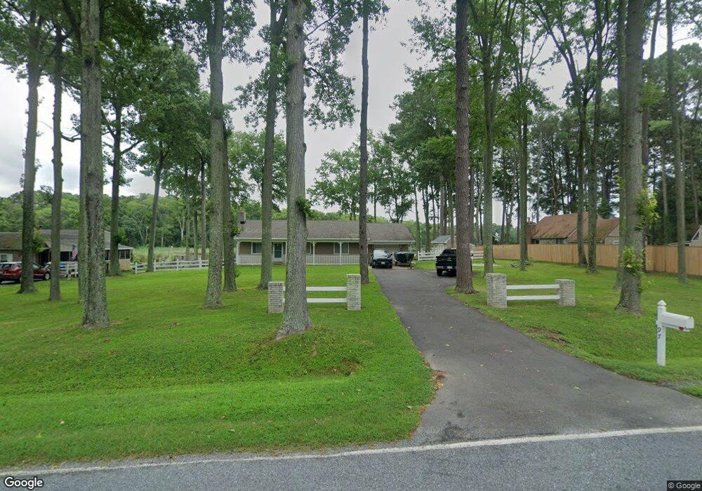
97 Kent Point Rd Stevensville, MD 21666
Estimated Value: $476,000 - $684,000
--
Bed
1
Bath
1,568
Sq Ft
$361/Sq Ft
Est. Value
About This Home
This home is located at 97 Kent Point Rd, Stevensville, MD 21666 and is currently estimated at $566,264, approximately $361 per square foot. 97 Kent Point Rd is a home located in Queen Anne's County with nearby schools including Matapeake Elementary School, Matapeake Middle School, and Kent Island High School.
Ownership History
Date
Name
Owned For
Owner Type
Purchase Details
Closed on
Aug 27, 1996
Sold by
Nelligan Julia M
Bought by
Zynjuk George L
Current Estimated Value
Purchase Details
Closed on
Feb 24, 1993
Sold by
Mcmanus Timothy L
Bought by
Nelligan Julia M
Purchase Details
Closed on
Jun 14, 1989
Sold by
Ward Jesse R and Ward Sedina J
Bought by
Mcmanus Timothy L
Home Financials for this Owner
Home Financials are based on the most recent Mortgage that was taken out on this home.
Original Mortgage
$144,000
Interest Rate
10.2%
Create a Home Valuation Report for This Property
The Home Valuation Report is an in-depth analysis detailing your home's value as well as a comparison with similar homes in the area
Home Values in the Area
Average Home Value in this Area
Purchase History
| Date | Buyer | Sale Price | Title Company |
|---|---|---|---|
| Zynjuk George L | $160,000 | -- | |
| Nelligan Julia M | $177,000 | -- | |
| Mcmanus Timothy L | $160,000 | -- |
Source: Public Records
Mortgage History
| Date | Status | Borrower | Loan Amount |
|---|---|---|---|
| Previous Owner | Mcmanus Timothy L | $144,000 | |
| Closed | Zynjuk George L | -- |
Source: Public Records
Tax History Compared to Growth
Tax History
| Year | Tax Paid | Tax Assessment Tax Assessment Total Assessment is a certain percentage of the fair market value that is determined by local assessors to be the total taxable value of land and additions on the property. | Land | Improvement |
|---|---|---|---|---|
| 2025 | $4,409 | $488,333 | $0 | $0 |
| 2024 | $4,409 | $463,867 | $0 | $0 |
| 2023 | $4,199 | $439,400 | $303,000 | $136,400 |
| 2022 | $4,047 | $423,233 | $0 | $0 |
| 2021 | $3,809 | $407,067 | $0 | $0 |
| 2020 | $3,809 | $390,900 | $279,900 | $111,000 |
| 2019 | $3,783 | $388,133 | $0 | $0 |
| 2018 | $3,627 | $385,367 | $0 | $0 |
| 2017 | $3,475 | $382,600 | $0 | $0 |
| 2016 | -- | $360,367 | $0 | $0 |
| 2015 | $1,308 | $338,133 | $0 | $0 |
| 2014 | $1,308 | $315,900 | $0 | $0 |
Source: Public Records
Map
Nearby Homes
- 100 Kent Point Rd
- 102 Chesapeake Bay Dr
- 7680 Kent Point Rd
- 116 Kent Point Rd
- 101 Trequassin Dr
- 216 Lighthouse View Dr
- 231 Lighthouse View Dr
- 245 Lighthouse View Dr
- 200 Mallard Cove Ln
- 312 S Lake Dr
- 137 Tanners Point Dr
- 201 Beachside Dr
- 109 Calvert Rd
- 208 Tower Dr
- 101 Beachside Dr
- 107 Terrapin Ln
- 305 N Lake Dr
- 145 N Lake Dr
- 114 N Lake Dr
- 119 N Lake Dr
- 7 Kent Point Rd
- 103 Kent Point Rd
- 95 Kent Point Rd
- 0 Kent Point Rd Unit QA9812334
- 105 Kent Point Rd
- 102 Kent Point Rd
- 98 Kent Point Rd
- 104 Kent Point Rd
- 101 Monoponsan Rd
- Lot 95 ETC Eastern Bay Dr
- Lot 95 Eastern Bay Dr
- 103 Monoponsan Rd
- 106 Kent Point Rd
- 105 Monoponsan Rd
- 108 Kent Point Rd
- 107 Monoponsan Rd
- 100 Monoponsan Rd
- 102 Monoponsan Rd
- 104 Monoponsan Rd
- 109 Monoponsan Rd