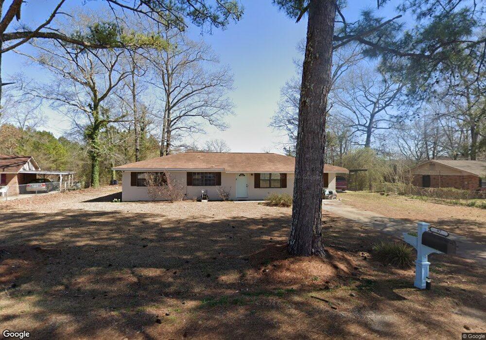
97 Mason Dr E Columbus, MS 39702
Estimated Value: $151,000 - $193,000
Studio
1
Bath
1,629
Sq Ft
$108/Sq Ft
Est. Value
About This Home
This home is located at 97 Mason Dr E, Columbus, MS 39702 and is currently estimated at $175,596, approximately $107 per square foot. 97 Mason Dr E is a home.
Ownership History
Date
Name
Owned For
Owner Type
Purchase Details
Closed on
Dec 14, 2016
Sold by
Tedford Chris A
Bought by
Nationstar Mortgage Llc
Current Estimated Value
Purchase Details
Closed on
Dec 13, 2016
Sold by
Nationstar Mortgage Llc
Bought by
Secretary Housing Urban Development
Purchase Details
Closed on
Jun 23, 2011
Sold by
Hollis Tina Tedford
Bought by
Tedford Christopher A
Purchase Details
Closed on
Mar 15, 2006
Sold by
Sanders Donnie L and Sanders Renee S
Bought by
Tedford Chris A and Tedford Tina
Home Financials for this Owner
Home Financials are based on the most recent Mortgage that was taken out on this home.
Original Mortgage
$85,000
Interest Rate
6.19%
Create a Home Valuation Report for This Property
The Home Valuation Report is an in-depth analysis detailing your home's value as well as a comparison with similar homes in the area
Home Values in the Area
Average Home Value in this Area
Purchase History
| Date | Buyer | Sale Price | Title Company |
|---|---|---|---|
| Nationstar Mortgage Llc | -- | None Available | |
| Secretary Housing Urban Development | -- | None Available | |
| Tedford Christopher A | -- | -- | |
| Tedford Chris A | -- | -- |
Source: Public Records
Mortgage History
| Date | Status | Borrower | Loan Amount |
|---|---|---|---|
| Open | Tedford Chris A | $112,917 | |
| Previous Owner | Tedford Chris A | $85,000 |
Source: Public Records
Tax History
| Year | Tax Paid | Tax Assessment Tax Assessment Total Assessment is a certain percentage of the fair market value that is determined by local assessors to be the total taxable value of land and additions on the property. | Land | Improvement |
|---|---|---|---|---|
| 2025 | $435 | $7,512 | $0 | $0 |
| 2024 | $429 | $7,512 | $0 | $0 |
| 2023 | $356 | $6,353 | $0 | $0 |
| 2022 | $356 | $6,353 | $0 | $0 |
| 2021 | $334 | $6,353 | $0 | $0 |
| 2020 | $839 | $9,530 | $0 | $0 |
| 2019 | $994 | $10,989 | $0 | $0 |
| 2018 | $994 | $10,962 | $0 | $0 |
| 2017 | $340 | $10,962 | $0 | $0 |
| 2016 | $340 | $7,308 | $0 | $0 |
| 2015 | $360 | $7,612 | $0 | $0 |
| 2014 | $360 | $7,612 | $0 | $0 |
Source: Public Records
Map
Nearby Homes
- 16 Jenny Ln
- 262 Center Rd
- 248 Lakeover Dr W
- 220 Woodridge Place
- 17 Paige Cove
- 178 Rogers Way
- Lot 3 Lost Lake Hills Rd
- 0 Lost Lake Hills Rd
- 304 Timber Creek Dr
- 836 Oswalt Rd
- 164 Sleepy Fawn Park
- 805 Timber Creek Dr
- 76 Richardson Rd
- 346 Williams Place
- 2654 Yorkville Rd E
- 611 Thornton Dr
- 0 Golding Cir
- 305 Mccully Rd
- 479 Bryant Rd
- 0 Fiesta Dr
Your Personal Tour Guide
Ask me questions while you tour the home.