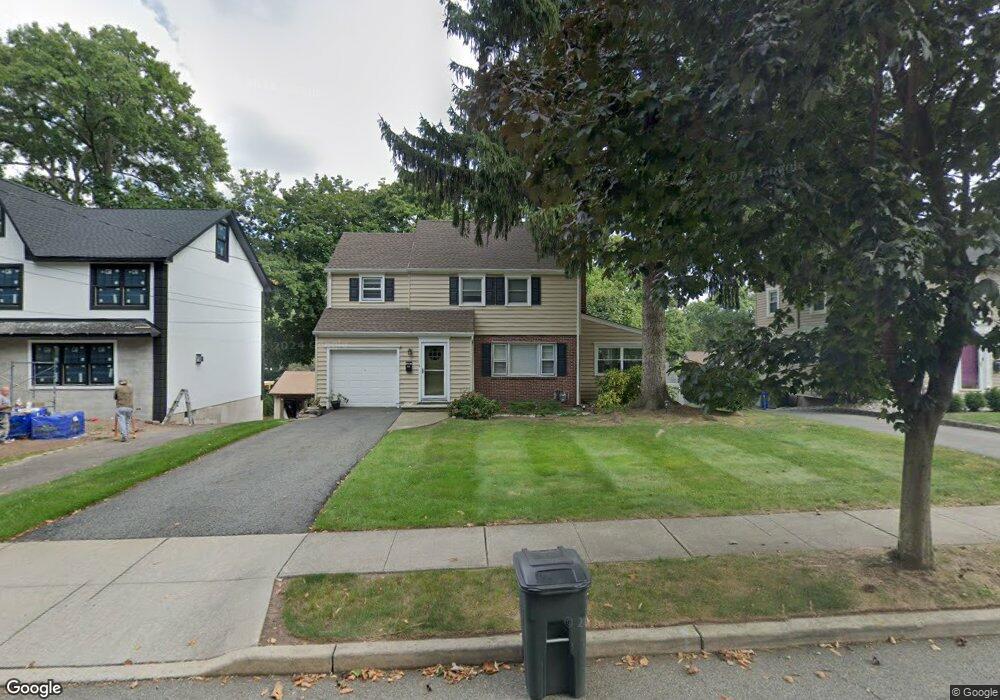
97 Mccosh Rd Montclair, NJ 07043
Montclair Heights NeighborhoodEstimated Value: $551,835 - $846,000
3
Beds
3
Baths
1,556
Sq Ft
$443/Sq Ft
Est. Value
About This Home
This home is located at 97 Mccosh Rd, Montclair, NJ 07043 and is currently estimated at $689,709, approximately $443 per square foot. 97 Mccosh Rd is a home located in Passaic County with nearby schools including Clifton High School, The Magical Palace of Knowledge, and Saint Philip the Apostle Preparatory School.
Ownership History
Date
Name
Owned For
Owner Type
Purchase Details
Closed on
Aug 3, 2017
Sold by
Fashek Norman L
Bought by
C W Mccosh Llc
Current Estimated Value
Home Financials for this Owner
Home Financials are based on the most recent Mortgage that was taken out on this home.
Original Mortgage
$250,000
Outstanding Balance
$208,097
Interest Rate
3.87%
Mortgage Type
Adjustable Rate Mortgage/ARM
Estimated Equity
$481,612
Purchase Details
Closed on
Jan 15, 1988
Bought by
Fashek Norman
Create a Home Valuation Report for This Property
The Home Valuation Report is an in-depth analysis detailing your home's value as well as a comparison with similar homes in the area
Home Values in the Area
Average Home Value in this Area
Purchase History
We collect this data history from publicly available records. To have your information removed, we recommend requesting removal directly through your county’s website.
| Date | Buyer | Sale Price | Title Company |
|---|---|---|---|
| C W Mccosh Llc | -- | Title Services Of Nj Inc | |
| Fashek Norman | $240,000 | -- |
Source: Public Records
Mortgage History
We collect this data history from publicly available records. To have your information removed, we recommend requesting removal directly through your county’s website.
| Date | Status | Borrower | Loan Amount |
|---|---|---|---|
| Open | C W Mccosh Llc | $250,000 |
Source: Public Records
Tax History
| Year | Tax Paid | Tax Assessment Tax Assessment Total Assessment is a certain percentage of the fair market value that is determined by local assessors to be the total taxable value of land and additions on the property. | Land | Improvement |
|---|---|---|---|---|
| 2025 | $12,828 | $216,100 | $116,900 | $99,200 |
| 2024 | $12,521 | $216,100 | $116,900 | $99,200 |
| 2022 | $12,339 | $216,100 | $116,900 | $99,200 |
| 2021 | $11,831 | $216,100 | $116,900 | $99,200 |
| 2020 | $11,870 | $216,100 | $116,900 | $99,200 |
| 2019 | $11,786 | $216,100 | $116,900 | $99,200 |
| 2018 | $11,719 | $216,100 | $116,900 | $99,200 |
| 2017 | $11,592 | $216,100 | $116,900 | $99,200 |
| 2016 | $11,367 | $216,100 | $116,900 | $99,200 |
| 2015 | $11,257 | $216,100 | $116,900 | $99,200 |
| 2014 | $11,025 | $216,100 | $116,900 | $99,200 |
Source: Public Records
Map
Nearby Homes
- 5 Witherspoon Rd
- 130 Pearl Brook Dr
- 28 Charles St
- 41 Pino Ct
- 257 Mccosh Rd
- 52 Adams Terrace
- 605 Grove St Unit 11
- 605 Grove St Unit 13
- 605 Grove St Unit 2
- 77 Macarthur Dr
- 575 Grove St Unit 6
- 575 Grove St Unit 3
- 565 Grove St Unit A-11
- 565 Grove St Unit 10
- 565 Grove St Unit B12
- 900 Valley Rd
- 900 Valley Rd Unit E3
- 583 Highland Ave
- 32 Brantwood Place
- 70 Lennon Place
Your Personal Tour Guide
Ask me questions while you tour the home.