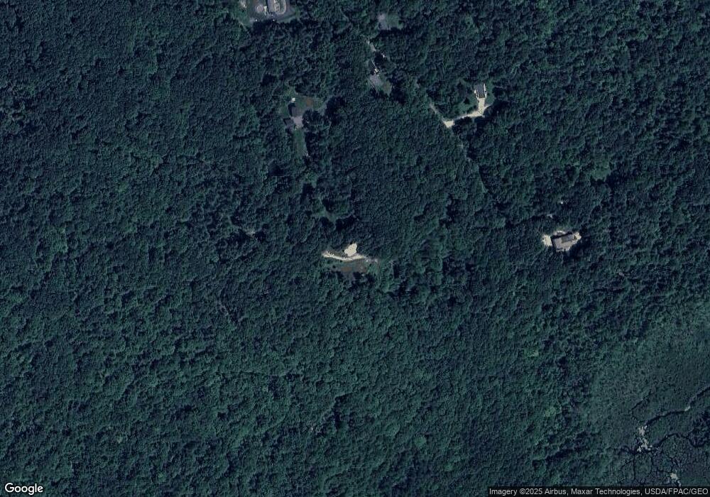
97 N Saunders Rd Greene, ME 04236
Estimated Value: $443,000 - $593,000
3
Beds
3
Baths
3,142
Sq Ft
$166/Sq Ft
Est. Value
About This Home
This home is located at 97 N Saunders Rd, Greene, ME 04236 and is currently estimated at $521,288, approximately $165 per square foot. 97 N Saunders Rd is a home located in Androscoggin County with nearby schools including Tripp Middle School, Leavitt Area High School, and Margaret Murphy Center For Children-Main.
Ownership History
Date
Name
Owned For
Owner Type
Purchase Details
Closed on
Nov 29, 2011
Sold by
Bernier Lisa A
Bought by
Bernier Brian B
Current Estimated Value
Home Financials for this Owner
Home Financials are based on the most recent Mortgage that was taken out on this home.
Original Mortgage
$192,000
Outstanding Balance
$132,033
Interest Rate
4.12%
Mortgage Type
Purchase Money Mortgage
Estimated Equity
$389,255
Purchase Details
Closed on
Nov 21, 2006
Sold by
Bernier Brian B and Bernier Lisa A
Bought by
Ray Amanda I and Capen 4Th John A
Purchase Details
Closed on
Nov 20, 2006
Sold by
Gluck John
Bought by
Bernier Brian B and Bernier Lisa A
Create a Home Valuation Report for This Property
The Home Valuation Report is an in-depth analysis detailing your home's value as well as a comparison with similar homes in the area
Home Values in the Area
Average Home Value in this Area
Purchase History
| Date | Buyer | Sale Price | Title Company |
|---|---|---|---|
| Bernier Brian B | -- | -- | |
| Ray Amanda I | -- | -- | |
| Bernier Brian B | -- | -- |
Source: Public Records
Mortgage History
| Date | Status | Borrower | Loan Amount |
|---|---|---|---|
| Open | Bernier Brian B | $192,000 |
Source: Public Records
Tax History Compared to Growth
Tax History
| Year | Tax Paid | Tax Assessment Tax Assessment Total Assessment is a certain percentage of the fair market value that is determined by local assessors to be the total taxable value of land and additions on the property. | Land | Improvement |
|---|---|---|---|---|
| 2024 | $4,489 | $230,200 | $72,700 | $157,500 |
| 2023 | $4,489 | $230,200 | $72,700 | $157,500 |
| 2022 | $4,098 | $230,200 | $72,700 | $157,500 |
| 2021 | $3,936 | $230,200 | $72,700 | $157,500 |
| 2020 | $3,936 | $230,200 | $72,700 | $157,500 |
| 2019 | $3,729 | $230,200 | $72,700 | $157,500 |
| 2018 | $3,623 | $230,200 | $72,700 | $157,500 |
| 2017 | $3,550 | $230,200 | $72,700 | $157,500 |
| 2016 | $2,728 | $230,200 | $72,700 | $157,500 |
| 2015 | $3,283 | $230,200 | $72,700 | $157,500 |
| 2014 | $3,112 | $230,200 | $72,700 | $157,500 |
| 2013 | $3,062 | $230,200 | $72,700 | $157,500 |
Source: Public Records
Map
Nearby Homes
- 32 N Saunders Rd
- LOT 5 N River Rd
- 0 College Rd
- Lot# A College Rd
- 201 College Rd
- 206 College Rd
- 224 E Waterman Rd
- 0 Sedgley Rd
- 66 S South Hatch Hill Rd
- 167 Sedgley Rd
- 007-00B Androscoggin Way
- 67 Island View Dr
- 7 Doe Run
- 764 N River Rd
- 721 U S Highway 202
- 951 U S Highway 202
- 89 Sawyer Rd
- 3 Saint Jean Baptist Ave
- 96 Blanchard Rd
- 34 Rejane Ave
- 98 Saunders Rd
- 94 N Saunders Rd
- 91 Saunders Rd
- 85 N Saunders Rd
- 84 Saunders Rd
- 74 N Saunders Rd
- 47 Saunders Rd
- 126 N Saunders Rd
- 67 N Saunders Rd
- 151 Saunders Rd
- 62 Saunders Rd
- 150 N Saunders Rd
- 43 Saunders Rd
- 42 Saunders Rd
- 202 N Daggett Hill Rd
- 31 Saunders Rd
- 186 N Daggett Hill Rd
- 210 Daggett Hill Rd
- 160 N Daggett Hill Rd
- 160 N Daggett Hill Rd
