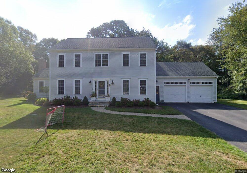
97 Pratt Rd Scituate, MA 02066
Estimated Value: $1,080,798 - $1,405,000
4
Beds
3
Baths
2,209
Sq Ft
$537/Sq Ft
Est. Value
About This Home
This home is located at 97 Pratt Rd, Scituate, MA 02066 and is currently estimated at $1,186,200, approximately $536 per square foot. 97 Pratt Rd is a home located in Plymouth County with nearby schools including Cushing Elementary School, Lester J. Gates Middle School, and Scituate High School.
Ownership History
Date
Name
Owned For
Owner Type
Purchase Details
Closed on
Mar 4, 1997
Sold by
Ayer Philip J and Ayer Mary Ak
Bought by
Coleman Jamie S and Coleman Margaret S
Current Estimated Value
Purchase Details
Closed on
Oct 28, 1996
Sold by
Arborway Ests Rt and Rowe Arthur A
Bought by
Ayer Philip J and Ayer Mary Ak
Create a Home Valuation Report for This Property
The Home Valuation Report is an in-depth analysis detailing your home's value as well as a comparison with similar homes in the area
Home Values in the Area
Average Home Value in this Area
Purchase History
| Date | Buyer | Sale Price | Title Company |
|---|---|---|---|
| Coleman Jamie S | $300,000 | -- | |
| Ayer Philip J | $102,000 | -- |
Source: Public Records
Mortgage History
| Date | Status | Borrower | Loan Amount |
|---|---|---|---|
| Open | Coleman Jamie S | $175,000 | |
| Closed | Coleman Jamie S | $180,000 | |
| Closed | Coleman Jamie S | $227,150 |
Source: Public Records
Map
Nearby Homes
- 67 Pratt Rd
- 629 Country Way
- 49 Whittier Dr
- 11 Forest Ln
- 9 Forest Ln Unit 9
- 701 Country Way
- 537 First Parish Rd
- 54 Woodland Rd
- 7 3 Ring Rd
- 26 Mordecai Lincoln Rd
- 627 First Parish Rd
- 74 Branch St Unit 15
- 327 Country Way
- 817 Country Way
- 20 Lawson Rd
- 764 First Parish Rd
- 49 Jackson Rd
- 20 Grace Way Unit 20
- 6 Grace Way Unit 6
- 27 Grace Way
Your Personal Tour Guide
Ask me questions while you tour the home.