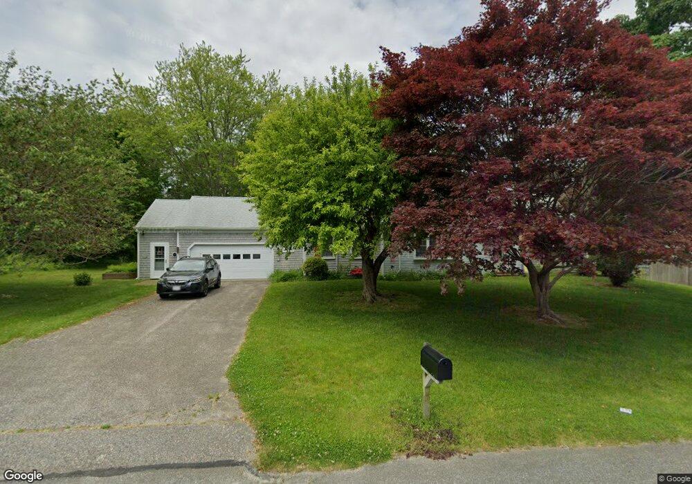
97 Stonehedge Rd Barnstable, MA 02630
Barnstable Village NeighborhoodEstimated Value: $848,078 - $1,125,000
3
Beds
2
Baths
1,953
Sq Ft
$499/Sq Ft
Est. Value
About This Home
This home is located at 97 Stonehedge Rd, Barnstable, MA 02630 and is currently estimated at $974,520, approximately $498 per square foot. 97 Stonehedge Rd is a home located in Barnstable County with nearby schools including West Barnstable Elementary School, Barnstable United Elementary School, and Barnstable Intermediate School.
Create a Home Valuation Report for This Property
The Home Valuation Report is an in-depth analysis detailing your home's value as well as a comparison with similar homes in the area
Home Values in the Area
Average Home Value in this Area
Tax History Compared to Growth
Tax History
| Year | Tax Paid | Tax Assessment Tax Assessment Total Assessment is a certain percentage of the fair market value that is determined by local assessors to be the total taxable value of land and additions on the property. | Land | Improvement |
|---|---|---|---|---|
| 2025 | $7,008 | $758,400 | $217,700 | $540,700 |
| 2024 | $6,602 | $753,600 | $217,700 | $535,900 |
| 2023 | $5,850 | $651,500 | $197,900 | $453,600 |
| 2022 | $5,933 | $531,600 | $136,100 | $395,500 |
| 2021 | $5,363 | $458,000 | $138,200 | $319,800 |
| 2020 | $5,544 | $452,200 | $138,200 | $314,000 |
| 2019 | $5,151 | $421,500 | $146,600 | $274,900 |
| 2018 | $5,008 | $398,100 | $170,900 | $227,200 |
| 2017 | $4,829 | $386,300 | $170,900 | $215,400 |
| 2016 | $4,678 | $379,400 | $172,400 | $207,000 |
| 2015 | $4,477 | $369,700 | $168,400 | $201,300 |
Source: Public Records
Map
Nearby Homes
- 111 Stonehedge Rd
- 85 Stonehedge Rd
- 25 Fraser Ct
- 84 Stonehedge Rd
- 98 Stonehedge Rd
- 108 Stonehedge Rd
- 90 Cindy Ln
- 125 Stonehedge Rd
- 106 Cindy Ln
- 70 Cindy Ln
- 10 Fraser Ct
- 65 Stonehedge Rd
- 18 White Moor Way
- 72 Stonehedge Rd
- 11 White Moor Way
- 24 Fraser Ct
- 50 Cindy Ln
- 137 Stonehedge Rd
- 91 Cindy Ln
- 105 Cindy Ln