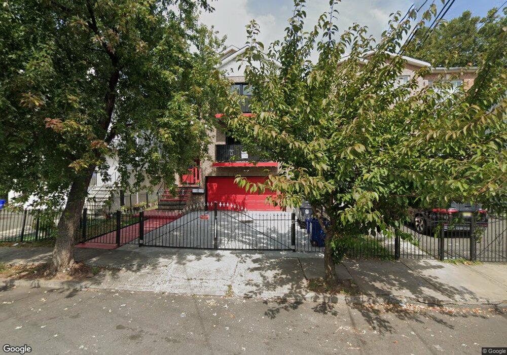
97 Tillinghast St Newark, NJ 07108
Clinton Hill NeighborhoodEstimated Value: $676,000 - $749,000
3
Beds
2
Baths
3,208
Sq Ft
$222/Sq Ft
Est. Value
About This Home
This home is located at 97 Tillinghast St, Newark, NJ 07108 and is currently estimated at $713,242, approximately $222 per square foot. 97 Tillinghast St is a home with nearby schools including Hawthorne Avenue Elementary School, Belmont Runyon School, and Chancellor Avenue School.
Ownership History
Date
Name
Owned For
Owner Type
Purchase Details
Closed on
May 31, 2006
Sold by
Summit Real Estate Developers
Bought by
Breeland Deandre
Current Estimated Value
Home Financials for this Owner
Home Financials are based on the most recent Mortgage that was taken out on this home.
Original Mortgage
$335,920
Outstanding Balance
$193,935
Interest Rate
6.25%
Mortgage Type
Adjustable Rate Mortgage/ARM
Estimated Equity
$519,307
Create a Home Valuation Report for This Property
The Home Valuation Report is an in-depth analysis detailing your home's value as well as a comparison with similar homes in the area
Home Values in the Area
Average Home Value in this Area
Purchase History
| Date | Buyer | Sale Price | Title Company |
|---|---|---|---|
| Breeland Deandre | $419,900 | -- |
Source: Public Records
Mortgage History
| Date | Status | Borrower | Loan Amount |
|---|---|---|---|
| Open | Breeland Deandre | $335,920 |
Source: Public Records
Tax History Compared to Growth
Tax History
| Year | Tax Paid | Tax Assessment Tax Assessment Total Assessment is a certain percentage of the fair market value that is determined by local assessors to be the total taxable value of land and additions on the property. | Land | Improvement |
|---|---|---|---|---|
| 2025 | $10,733 | $287,900 | $35,500 | $252,400 |
| 2024 | $10,733 | $287,900 | $35,500 | $252,400 |
| 2022 | $10,756 | $287,900 | $35,500 | $252,400 |
| 2021 | $10,750 | $287,900 | $35,500 | $252,400 |
| 2020 | $10,940 | $287,900 | $35,500 | $252,400 |
| 2019 | $10,828 | $287,900 | $35,500 | $252,400 |
| 2018 | $10,632 | $287,900 | $35,500 | $252,400 |
| 2017 | $10,249 | $287,900 | $35,500 | $252,400 |
| 2016 | $9,904 | $287,900 | $35,500 | $252,400 |
| 2015 | $9,527 | $287,900 | $35,500 | $252,400 |
| 2014 | $8,928 | $287,900 | $35,500 | $252,400 |
Source: Public Records
Map
Nearby Homes
- 7 White Terrace
- 303-305 W Runyon St
- 297 W Runyon St
- 282 W Runyon St
- 465 Hawthorne Ave
- 280 W Runyon St
- 469 Hawthorne Ave Unit 3
- 471 Hawthorne Ave
- 274 W Runyon St
- 78-80 Girard Place
- 78 Girard Place Unit 80
- 39 Wolcott Terrace
- 170 Clinton Place
- 343-345 Hawthorne Ave
- 28 Schuyler Ave
- 37 Vernon Ave
- 24 Girard Place
- 42 Nairn Place Unit 44
- 35-37 Vernon Ave
- 21 Huntington Terrace
- 93 Tillinghast St
- 93-95 Tillinghast St
- 99 Tillinghast St
- 101 Tillinghast St Unit 103
- 91 Tillinghast St
- 91 Tillinghast St Unit 2
- 332 W Runyon St Unit 334
- 96 Clinton Place Unit 201
- 87 Tillinghast St
- 87 Tillinghast St Unit 89
- 87 Tillinghast St Unit 1
- 328 W Runyon St Unit 330
- 92 Clinton Place Unit 2B
- 92 Clinton Place Unit 2A
- 92 Clinton Place Unit 2A
- 324-326 W Runyon St
- 96 Tillinghast St
- 324 W Runyon St
- 92 Tillinghast St Unit 94
- 90 Tillinghast St