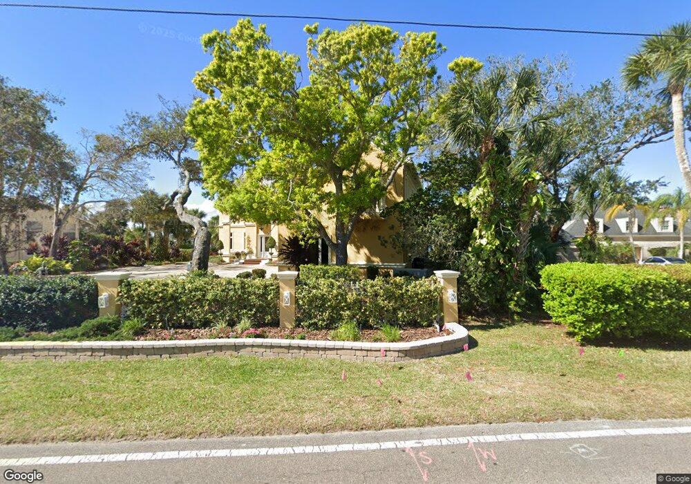
970 John Anderson Dr Ormond Beach, FL 32176
Estimated Value: $2,035,000 - $2,862,954
5
Beds
6
Baths
6,495
Sq Ft
$380/Sq Ft
Est. Value
About This Home
This home is located at 970 John Anderson Dr, Ormond Beach, FL 32176 and is currently estimated at $2,465,318, approximately $379 per square foot. 970 John Anderson Dr is a home located in Volusia County with nearby schools including Ormond Beach Middle School, Seabreeze High School, and St Brendan Catholic School.
Ownership History
Date
Name
Owned For
Owner Type
Purchase Details
Closed on
Aug 8, 2024
Sold by
Connors Michele P
Bought by
Michele P Connors Revocable Trust and Connors
Current Estimated Value
Purchase Details
Closed on
May 5, 1997
Sold by
Kampf H Gunter and Kampf Ingeborg
Bought by
Connors R Gary and Connors Michele P
Home Financials for this Owner
Home Financials are based on the most recent Mortgage that was taken out on this home.
Original Mortgage
$295,000
Interest Rate
7.98%
Purchase Details
Closed on
Dec 15, 1981
Bought by
Connors R Gary R and Connors Michele P
Purchase Details
Closed on
May 15, 1978
Bought by
Connors R Gary R and Connors Michele P
Create a Home Valuation Report for This Property
The Home Valuation Report is an in-depth analysis detailing your home's value as well as a comparison with similar homes in the area
Home Values in the Area
Average Home Value in this Area
Purchase History
| Date | Buyer | Sale Price | Title Company |
|---|---|---|---|
| Michele P Connors Revocable Trust | $100 | None Listed On Document | |
| Connors R Gary | $330,000 | -- | |
| Connors R Gary R | $120,000 | -- | |
| Connors R Gary R | $60,000 | -- |
Source: Public Records
Mortgage History
| Date | Status | Borrower | Loan Amount |
|---|---|---|---|
| Previous Owner | Connors R Gary | $295,000 |
Source: Public Records
Tax History
| Year | Tax Paid | Tax Assessment Tax Assessment Total Assessment is a certain percentage of the fair market value that is determined by local assessors to be the total taxable value of land and additions on the property. | Land | Improvement |
|---|---|---|---|---|
| 2026 | $25,529 | $1,650,925 | -- | -- |
| 2025 | $25,529 | $1,607,522 | -- | -- |
| 2024 | $24,006 | $1,557,232 | -- | -- |
| 2023 | $24,006 | $1,511,876 | $0 | $0 |
| 2022 | $23,369 | $1,467,841 | $0 | $0 |
| 2021 | $24,344 | $1,425,088 | $0 | $0 |
| 2020 | $24,008 | $1,405,412 | $0 | $0 |
| 2019 | $23,652 | $1,373,814 | $0 | $0 |
| 2018 | $23,837 | $1,348,198 | $0 | $0 |
| 2017 | $24,393 | $1,320,468 | $0 | $0 |
| 2016 | $24,781 | $1,293,309 | $0 | $0 |
| 2015 | $25,601 | $1,284,319 | $0 | $0 |
| 2014 | $25,455 | $1,274,126 | $0 | $0 |
Source: Public Records
Map
Nearby Homes
- 19 Woodhaven Cir
- 110 Ellicott Dr
- 32 Plaza Dr
- 22 Plaza Dr
- 102 University Cir
- 15 Plaza Dr
- 109 Standish Dr
- 62 Brooks Dr
- 153 University Cir
- 117 Standish Dr
- 73 Brooks Dr
- 41 Brooks Dr
- 1210 John Anderson Dr
- 7 River Dr
- 22 Tiffany Cir
- 209 Standish Dr
- 82 Ray Mar Dr
- 4 Sunny Shore Dr
- 7 Sunny Shore Dr
- 1051 Ocean Shore Blvd Unit 305
- 946 John Anderson Dr
- 986 John Anderson Dr
- 936 John Anderson Dr
- 1000 John Anderson Dr
- 983 John Anderson Dr
- 930 John Anderson Dr
- 945 John Anderson Dr
- 1003 John Anderson Dr
- 1015 John Anderson Dr
- 80 Jill Alison Cir
- 15 Dormont Dr
- 931 John Anderson Dr
- 70 Jill Alison Cir
- 1027 John Anderson Dr
- 10 Jill Alison Cir
- 1030 John Anderson Dr
- 910 John Anderson Dr
- 16 Dormont Dr
- 4 Saint Marks Cir
- 929 John Anderson Dr
Your Personal Tour Guide
Ask me questions while you tour the home.