9700 N No Name Uno Gilroy, CA 95020
Estimated Value: $2,245,065 - $2,895,000
--
Bed
--
Bath
--
Sq Ft
5.68
Acres
About This Home
This home is located at 9700 N No Name Uno, Gilroy, CA 95020 and is currently estimated at $2,457,766. 9700 N No Name Uno is a home with nearby schools including Rucker Elementary School, Solorsano Middle School, and Christopher High School.
Ownership History
Date
Name
Owned For
Owner Type
Purchase Details
Closed on
Jan 27, 2017
Sold by
Pedron Robin
Bought by
Pedron Joseph C
Current Estimated Value
Purchase Details
Closed on
Jan 26, 2017
Sold by
Pedron Carlo J and Pedron Evelyn G
Bought by
Wiley Quixote Land Co Llc
Purchase Details
Closed on
Dec 19, 1997
Sold by
Pedron Carlo J and Pedron Evelyn G
Bought by
Moody Cynthia M and Pedron Joseph C
Create a Home Valuation Report for This Property
The Home Valuation Report is an in-depth analysis detailing your home's value as well as a comparison with similar homes in the area
Home Values in the Area
Average Home Value in this Area
Purchase History
| Date | Buyer | Sale Price | Title Company |
|---|---|---|---|
| Pedron Joseph C | -- | Cornerstone Title Company | |
| Murphy Carla S | -- | Cornerstone Title Company | |
| Pedron Paul F | -- | Cornerstone Title Company | |
| Moody Cynthia M | -- | Cornerstone Title Company | |
| Boyle Catherine A | -- | Cornerstone Title Company | |
| Wiley Quixote Land Co Llc | $497,000 | Cornerstone Title Company | |
| Moody Cynthia M | -- | -- | |
| Pedron Carlo J | -- | -- |
Source: Public Records
Tax History Compared to Growth
Tax History
| Year | Tax Paid | Tax Assessment Tax Assessment Total Assessment is a certain percentage of the fair market value that is determined by local assessors to be the total taxable value of land and additions on the property. | Land | Improvement |
|---|---|---|---|---|
| 2025 | $27,478 | $2,292,208 | $1,273,449 | $1,018,759 |
| 2024 | $27,478 | $2,247,264 | $1,248,480 | $998,784 |
| 2023 | $27,279 | $2,203,200 | $1,224,000 | $979,200 |
| 2022 | $22,533 | $1,823,640 | $543,540 | $1,280,100 |
| 2021 | $19,381 | $1,542,883 | $532,883 | $1,010,000 |
| 2020 | $6,688 | $527,419 | $527,419 | $0 |
| 2019 | $6,622 | $517,078 | $517,078 | $0 |
| 2018 | $6,155 | $506,940 | $506,940 | $0 |
| 2017 | $1,430 | $105,702 | $105,702 | $0 |
| 2016 | $1,391 | $103,630 | $103,630 | $0 |
| 2015 | $1,314 | $102,074 | $102,074 | $0 |
| 2014 | $1,277 | $100,075 | $100,075 | $0 |
Source: Public Records
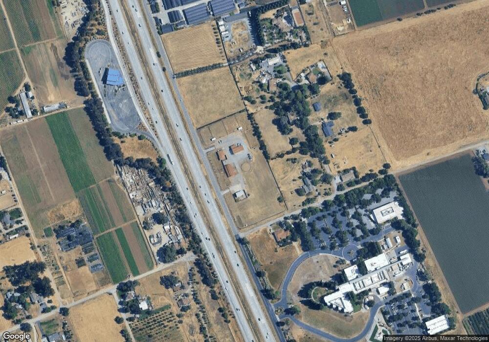
Map
Nearby Homes
- 0 Buena Vista Ave
- 0002 Buena Vista Ave
- 700 Las Animas Ave
- 119 Farrell Ave
- 103 Farrell Ave
- 111 Farrell Ave
- 264 Windsong Way
- 9135 Desiderio Way
- 201 Ronan Ave
- 190 Ronan Ave
- 100 Block Ronan Ave
- 232 Loupe Ct
- 1 Poli Rd
- 0 Apn 835-07-018 and Apn 835-07-019 Ave Unit ML82018888
- 0 Dorrance Rd Unit ML82002071
- 0000 Hecker Pass
- 10055 Foothill Ave
- 670 Wickham Ct
- 2055 Rucker Ave
- 8340 Forest St
- 605 Cohansey Ave
- 615 Terri Ct
- 540 Cohansey Ave
- 645 Terri Ct
- 425 Cohansey Ave
- 655 Cohansey Ave
- 625 Terri Ct
- 635 Terri Ct
- 9790 No Name Uno Rd
- 9790 N Name Uno
- 9460 N Name Uno
- 9480 Murray Ave
- 0 No Name Uno
- 730 Lepa Ct
- 9850 N Name Uno
- 740 Lepa Ct
- 265 Zamzow Ct
- 9840 N Name Uno
- 275 Cohansey Ave
- 200 Cohansey Ave