9701 Military Rd Dubuque, IA 52003
Estimated Value: $497,000 - $982,454
3
Beds
7
Baths
4,258
Sq Ft
$170/Sq Ft
Est. Value
About This Home
This home is located at 9701 Military Rd, Dubuque, IA 52003 and is currently estimated at $722,114, approximately $169 per square foot. 9701 Military Rd is a home located in Dubuque County with nearby schools including Table Mound Elementary School, Eleanor Roosevelt Middle School, and Dubuque Senior High School.
Ownership History
Date
Name
Owned For
Owner Type
Purchase Details
Closed on
May 20, 2025
Sold by
Pfab Jason E and Pfab Vickie S
Bought by
Tracy L Kiernan Trust and Jayme J Kiernan Trust
Current Estimated Value
Home Financials for this Owner
Home Financials are based on the most recent Mortgage that was taken out on this home.
Original Mortgage
$576,800
Outstanding Balance
$574,820
Interest Rate
6.81%
Mortgage Type
New Conventional
Estimated Equity
$147,294
Purchase Details
Closed on
Nov 21, 2014
Home Financials for this Owner
Home Financials are based on the most recent Mortgage that was taken out on this home.
Original Mortgage
$417,000
Interest Rate
3.91%
Mortgage Type
New Conventional
Create a Home Valuation Report for This Property
The Home Valuation Report is an in-depth analysis detailing your home's value as well as a comparison with similar homes in the area
Home Values in the Area
Average Home Value in this Area
Purchase History
| Date | Buyer | Sale Price | Title Company |
|---|---|---|---|
| Tracy L Kiernan Trust | $825,000 | None Listed On Document | |
| -- | $600,000 | None Available |
Source: Public Records
Mortgage History
| Date | Status | Borrower | Loan Amount |
|---|---|---|---|
| Open | Tracy L Kiernan Trust | $576,800 | |
| Previous Owner | -- | $417,000 |
Source: Public Records
Tax History Compared to Growth
Tax History
| Year | Tax Paid | Tax Assessment Tax Assessment Total Assessment is a certain percentage of the fair market value that is determined by local assessors to be the total taxable value of land and additions on the property. | Land | Improvement |
|---|---|---|---|---|
| 2025 | $7,448 | $846,000 | $283,100 | $562,900 |
| 2024 | $7,448 | $646,900 | $109,200 | $537,700 |
| 2023 | $7,198 | $646,900 | $109,200 | $537,700 |
| 2022 | $6,690 | $501,350 | $101,430 | $399,920 |
| 2021 | $6,690 | $501,350 | $101,430 | $399,920 |
| 2020 | $9,282 | $486,900 | $92,800 | $394,100 |
| 2019 | $8,086 | $645,300 | $251,200 | $394,100 |
| 2018 | $7,890 | $533,410 | $164,200 | $369,210 |
| 2017 | $7,638 | $533,410 | $164,200 | $369,210 |
| 2016 | $7,432 | $490,730 | $149,700 | $341,030 |
| 2015 | $7,432 | $490,730 | $149,700 | $341,030 |
| 2014 | $6,832 | $475,870 | $137,700 | $338,170 |
Source: Public Records
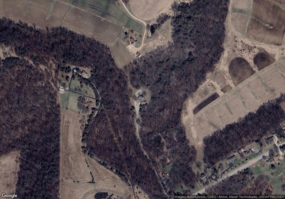
Map
Nearby Homes
- 9779 Military Rd
- Lot 9 Alea Ln
- LOT 20 & 21 Oakland Ridge Estates
- 11838 Lorelei Ln
- 00 S Hwy 61 151
- 8109 Elmwood Dr
- 8328 Elmwood Dr
- 8123 Elmwood Dr
- 8151 Elmwood Dr
- 8137 Elmwood Dr
- 8163 Elmwood Dr
- 8177 Elmwood Dr
- 8189 Elmwood Dr
- 8203 Elmwood Dr
- 8223 Elmwood Dr
- 8235 Elmwood Dr
- 8247 Elmwood Dr
- 8255 Elmwood Dr
- 8267 Elmwood Dr
- 8275 Elmwood Dr
- 9637 Military Rd
- 11616 Oakland Farms Rd
- 9709 Military Rd
- 9749 Military Rd
- 00 Military Rd
- 9825 Military Rd
- 9628 Military Rd
- 9654 Military Rd
- 9678 Military Rd
- 9706 Military Rd
- 9714 Military Rd
- 9847 Military Rd
- 9534 Military Rd
- 9828 Military Rd
- 11246 Alea Ln
- 9871 Military Rd
- 9844 Military Rd
- 9499 Military Rd
- 9885 Military Rd
- 11210 Alea Ln