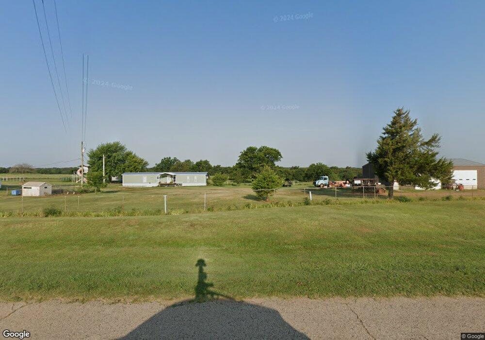
970763 S Highway 177 Wellston, OK 74881
Estimated Value: $192,862 - $340,000
2
Beds
2
Baths
1,560
Sq Ft
$158/Sq Ft
Est. Value
About This Home
This home is located at 970763 S Highway 177, Wellston, OK 74881 and is currently estimated at $246,287, approximately $157 per square foot. 970763 S Highway 177 is a home located in Lincoln County.
Ownership History
Date
Name
Owned For
Owner Type
Purchase Details
Closed on
May 11, 2004
Sold by
Gilliam Dwain Lee and Gilliam Susan
Bought by
Smith Melvin and Lea Ann
Current Estimated Value
Purchase Details
Closed on
Aug 30, 2000
Sold by
Gilliam Kenneth L and Gilliam Louise
Bought by
Gilliam Kenneth L and Gilliam Louise
Purchase Details
Closed on
May 14, 1990
Sold by
Gilliam Grace
Bought by
Gilliam Kenneth and Gilliam Louise
Purchase Details
Closed on
Dec 17, 1966
Sold by
Levescy Mose and Levescy Mildred
Bought by
Gilliam Gilliam B and Gilliam Grace
Create a Home Valuation Report for This Property
The Home Valuation Report is an in-depth analysis detailing your home's value as well as a comparison with similar homes in the area
Home Values in the Area
Average Home Value in this Area
Purchase History
| Date | Buyer | Sale Price | Title Company |
|---|---|---|---|
| Smith Melvin | $62,500 | -- | |
| Gilliam Kenneth L | -- | -- | |
| Gilliam Kenneth | -- | -- | |
| Gilliam Gilliam B | -- | -- |
Source: Public Records
Tax History Compared to Growth
Tax History
| Year | Tax Paid | Tax Assessment Tax Assessment Total Assessment is a certain percentage of the fair market value that is determined by local assessors to be the total taxable value of land and additions on the property. | Land | Improvement |
|---|---|---|---|---|
| 2024 | $905 | $10,596 | $4,785 | $5,811 |
| 2023 | $905 | $14,613 | $4,785 | $9,828 |
| 2022 | $849 | $11,258 | $3,682 | $7,576 |
| 2021 | $822 | $10,931 | $3,251 | $7,680 |
| 2020 | $796 | $10,612 | $3,093 | $7,519 |
| 2019 | $770 | $10,304 | $3,400 | $6,904 |
| 2018 | $746 | $10,004 | $3,090 | $6,914 |
| 2017 | $906 | $9,713 | $3,006 | $6,707 |
| 2016 | $858 | $9,430 | $2,812 | $6,618 |
| 2015 | $655 | $9,155 | $2,561 | $6,594 |
| 2014 | $648 | $8,888 | $2,240 | $6,648 |
Source: Public Records
Map
Nearby Homes
- 0 E 980 Rd
- 960926 S Hoot Owl Ln
- 337248 E Pecan Meadows Ln
- 0000 S Seven Oaks Rd
- 335752 E 980 Rd
- 335744 E Creek Crossing Rd
- 0 980 Rd
- 0000 980 Rd
- 960402 S 3340 Rd
- 337743 E 1010 Rd
- 940671 S 3360 Rd
- 333775 Oak Hollow
- 333631 Oak Hollow Dr
- 980438 S Shadowwood Dr
- 00000 S Cr 3340 1b Rd
- 980270 S Shadowwood Dr
- 940605 S 3350 Rd
- 334358 E 980 Rd
- 980574 S Oaktree Rd
- 21089 River Mist Dr
- 970943 S Highway 177
- 336952 E 980 Rd
- 970647 S Highway 177
- 337010 E 980 Rd
- 336581 E 980 Rd
- 970511 S Highway 177
- 336791 E 980 Rd
- 0000 E 980 Rd
- 336588 E 980 Rd
- 337235 E 980 Rd
- 980278 S Highway 177
- 336442 E 980 Rd
- 337623 E 980 Rd
- 980523 S Highway 177
- 336561 E 970 Rd
- 980630 S Highway 177
- 336554 E 970 Rd
- 960964 Hoot Owl Ln
- 336431 E 970 Rd