Estimated Value: $421,000 - $511,000
3
Beds
3
Baths
2,112
Sq Ft
$215/Sq Ft
Est. Value
About This Home
This home is located at 9709 E Day Rd, Mead, WA 99021 and is currently estimated at $453,328, approximately $214 per square foot. 9709 E Day Rd is a home located in Spokane County with nearby schools including Colbert Elementary School, Mountainside Middle School, and Mt. Spokane High School.
Ownership History
Date
Name
Owned For
Owner Type
Purchase Details
Closed on
Nov 12, 2024
Sold by
Morrell Mark W and Morrell Arlene M
Bought by
Mark W Morrell And Arlene M Morrell Trust and Morrell
Current Estimated Value
Purchase Details
Closed on
Apr 28, 2005
Sold by
Bond Cathy B
Bought by
Morrell Mark W and Morrell Arlene M
Home Financials for this Owner
Home Financials are based on the most recent Mortgage that was taken out on this home.
Original Mortgage
$128,000
Interest Rate
5.99%
Mortgage Type
Fannie Mae Freddie Mac
Create a Home Valuation Report for This Property
The Home Valuation Report is an in-depth analysis detailing your home's value as well as a comparison with similar homes in the area
Purchase History
| Date | Buyer | Sale Price | Title Company |
|---|---|---|---|
| Mark W Morrell And Arlene M Morrell Trust | $313 | None Listed On Document | |
| Mark W Morrell And Arlene M Morrell Trust | $313 | None Listed On Document | |
| Morrell Mark W | $165,000 | Stewart Title Of Spokane |
Source: Public Records
Mortgage History
| Date | Status | Borrower | Loan Amount |
|---|---|---|---|
| Previous Owner | Morrell Mark W | $128,000 | |
| Closed | Morrell Mark W | $10,000 |
Source: Public Records
Tax History
| Year | Tax Paid | Tax Assessment Tax Assessment Total Assessment is a certain percentage of the fair market value that is determined by local assessors to be the total taxable value of land and additions on the property. | Land | Improvement |
|---|---|---|---|---|
| 2025 | $2,314 | $318,040 | $86,640 | $231,400 |
| 2024 | $2,314 | $315,640 | $86,640 | $229,000 |
| 2023 | $3,099 | $333,060 | $104,060 | $229,000 |
| 2022 | $2,727 | $342,190 | $113,190 | $229,000 |
| 2021 | $2,441 | $231,630 | $72,730 | $158,900 |
| 2020 | $2,223 | $200,030 | $56,730 | $143,300 |
| 2019 | $1,993 | $181,180 | $52,180 | $129,000 |
| 2018 | $2,184 | $166,610 | $51,810 | $114,800 |
| 2017 | $2,052 | $157,610 | $51,810 | $105,800 |
| 2016 | $2,064 | $155,210 | $51,810 | $103,400 |
| 2015 | $1,654 | $127,780 | $29,080 | $98,700 |
| 2014 | -- | $127,780 | $29,080 | $98,700 |
| 2013 | -- | $0 | $0 | $0 |
Source: Public Records
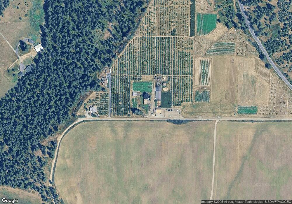
Map
Nearby Homes
- 17415 N Dunn Rd
- 8054 E Mount Spokane Park Dr
- NKA E Day Mt Spokane Rd Unit North Parcel
- 17323 N Lower Greenbluff Rd
- 3743 E Nyberg Ln
- 13790 N Bruce Rd
- 13xxx N Peone Rd
- XXXXX E Day Mt Spokane Rd Unit Unassigned Address o
- 20016 N Sands Rd
- 5711 E Nancy Ln
- 47161.0305 N Northwood Dr
- 20141 N Bernhill Rd
- NNA N Madison Rd
- 4712 E Winfield Ct
- 14517 N Chronicle St
- 4601 E Pineglen Rd
- 4814 E Peone Pines Dr
- 4413 E Winfield Rd
- 4620 E Handy Rd
- 6622 Rocky Mountain Ln
- 9615 E Day Rd
- 9611 E Day Rd
- 16608 N Day Mt Spokane Rd
- 16604 N Day Mt Spokane Rd
- O E Day Rd
- 9602 E Day Rd
- 10215 E Day Rd
- 16602 N Day Mt Spokane Rd
- 15800 N Applewood Ln
- 16511 N Applewood Ln
- 16610 N Day Mt Spokane Rd
- 16909 N Dunn Rd
- 16825 N Day Mt Spokane Rd
- 15800 S Apple Wood Ln
- 16707 N Applewood Ln
- 16921 N Day Mt Spokane Rd
- 15800 Applewood
- 9519 E Day Rd
- 16611 N Day Mt Spokane Rd
- 16802 N Applewood Ln
Your Personal Tour Guide
Ask me questions while you tour the home.