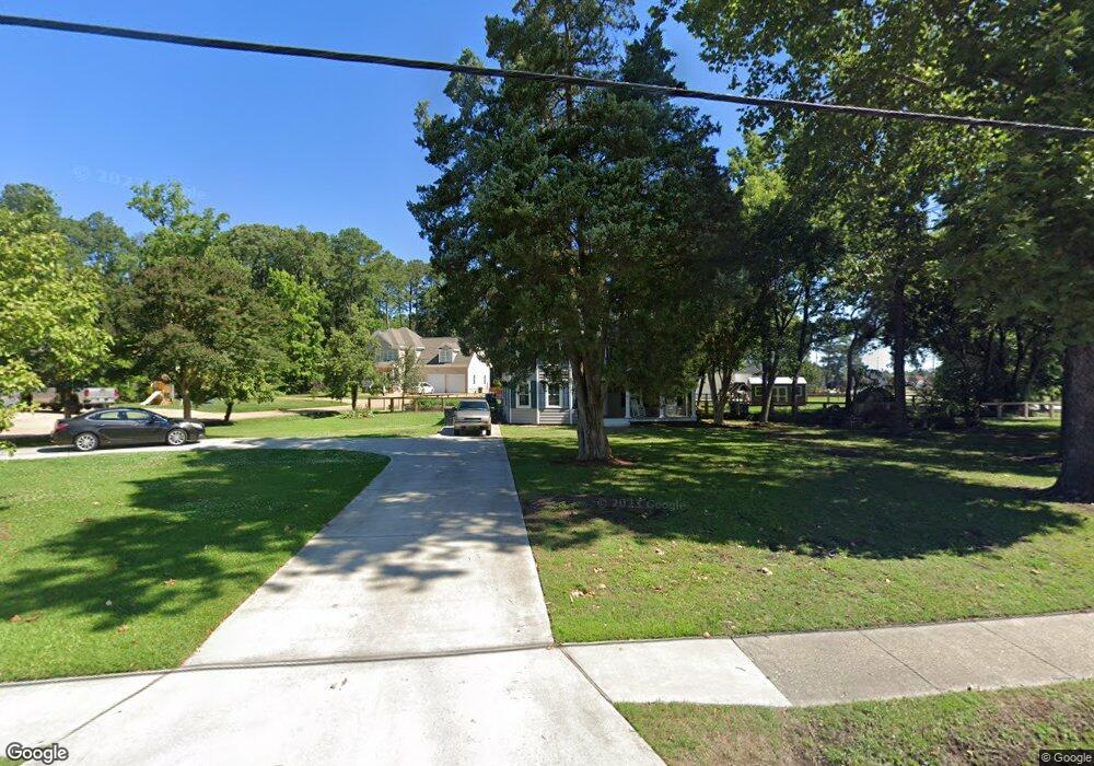
971 Poquoson Ave Poquoson, VA 23662
Poquoson West NeighborhoodEstimated Value: $410,000 - $482,000
4
Beds
2
Baths
2,152
Sq Ft
$207/Sq Ft
Est. Value
About This Home
This home is located at 971 Poquoson Ave, Poquoson, VA 23662 and is currently estimated at $445,558, approximately $207 per square foot. 971 Poquoson Ave is a home located in Poquoson City with nearby schools including Emmanuel Lutheran School and Summit Christian Academy - Upper School.
Ownership History
Date
Name
Owned For
Owner Type
Purchase Details
Closed on
Dec 2, 2015
Sold by
Ward Grayson Alvon and Ward Rebecca Stone
Bought by
The Ward Family Trust Dated February 11
Current Estimated Value
Purchase Details
Closed on
Dec 11, 2003
Sold by
Hanson Gary
Bought by
Bunting Henry
Home Financials for this Owner
Home Financials are based on the most recent Mortgage that was taken out on this home.
Original Mortgage
$40,000
Interest Rate
5.96%
Mortgage Type
New Conventional
Create a Home Valuation Report for This Property
The Home Valuation Report is an in-depth analysis detailing your home's value as well as a comparison with similar homes in the area
Home Values in the Area
Average Home Value in this Area
Purchase History
| Date | Buyer | Sale Price | Title Company |
|---|---|---|---|
| The Ward Family Trust Dated February 11 | -- | None Available | |
| Bunting Henry | $50,000 | -- |
Source: Public Records
Mortgage History
| Date | Status | Borrower | Loan Amount |
|---|---|---|---|
| Previous Owner | Bunting Henry | $40,000 |
Source: Public Records
Tax History Compared to Growth
Tax History
| Year | Tax Paid | Tax Assessment Tax Assessment Total Assessment is a certain percentage of the fair market value that is determined by local assessors to be the total taxable value of land and additions on the property. | Land | Improvement |
|---|---|---|---|---|
| 2024 | $4,061 | $356,200 | $99,400 | $256,800 |
| 2023 | $3,954 | $356,200 | $99,400 | $256,800 |
| 2022 | $2,330 | $206,200 | $99,400 | $106,800 |
| 2021 | $2,330 | $206,200 | $99,400 | $106,800 |
| 2020 | -- | $192,500 | $99,400 | $93,100 |
| 2019 | -- | $192,500 | $99,400 | $93,100 |
| 2018 | -- | $190,400 | $99,400 | $91,000 |
| 2017 | -- | $183,100 | $97,400 | $85,700 |
| 2016 | -- | $183,100 | $97,400 | $85,700 |
| 2015 | -- | $162,000 | $97,400 | $64,600 |
| 2013 | -- | $162,000 | $97,400 | $64,600 |
Source: Public Records
Map
Nearby Homes
- 1020 Poquoson Ave
- 1020 Poquoson Ave Unit C
- 8.5AC Poquoson Ave
- 7 Quail Cove
- 1.55ac Holloway Rd
- 10 Kathy Dr
- 208 Little Florida Rd
- 62 Rens Rd
- 1159 Poquoson Ave
- 1158 Poquoson Ave
- 101 Oystermans Way
- 103 Oystermans Way
- 21 Rens Rd
- 6 Lessies Dr
- 15 Robert Bruce Rd
- 129 Robert Bruce Rd
- 119 Robert Bruce Rd
- 7 Dove Point Trail
- 117 Robert Bruce Rd
- 128 Robert Bruce Rd