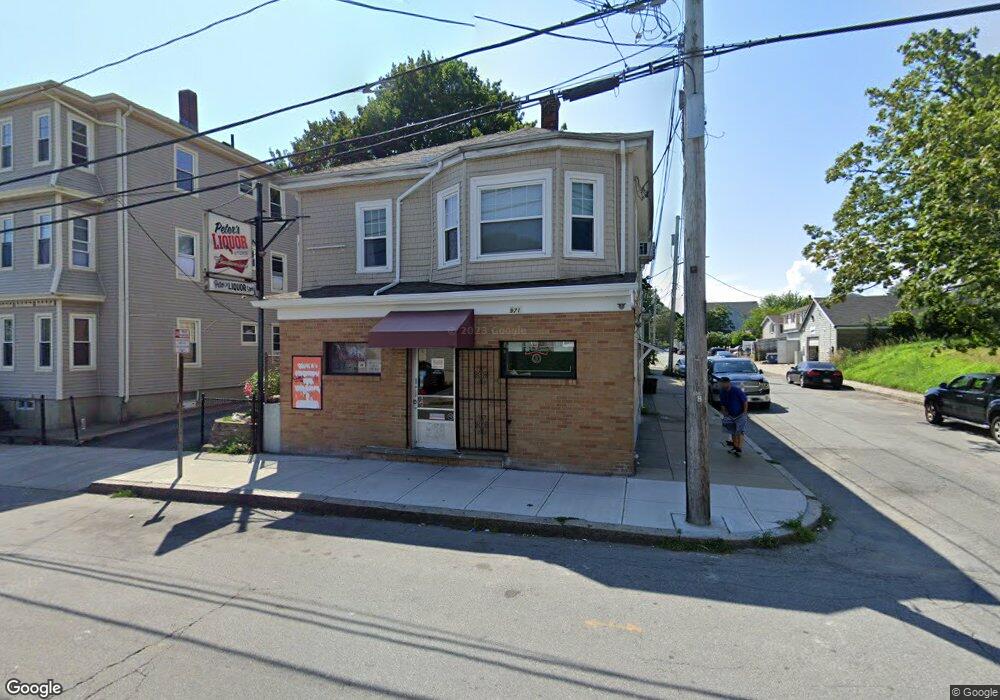
971 Rodman St Fall River, MA 02721
Niagara NeighborhoodEstimated Value: $329,000
3
Beds
2
Baths
2,275
Sq Ft
$145/Sq Ft
Est. Value
About This Home
This home is located at 971 Rodman St, Fall River, MA 02721 and is currently priced at $329,000, approximately $144 per square foot. 971 Rodman St is a home located in Bristol County with nearby schools including William S Greene, Matthew J. Kuss Middle School, and B M C Durfee High School.
Ownership History
Date
Name
Owned For
Owner Type
Purchase Details
Closed on
Nov 15, 1988
Sold by
Defarias Louise C
Bought by
Cadime Edward G
Current Estimated Value
Home Financials for this Owner
Home Financials are based on the most recent Mortgage that was taken out on this home.
Original Mortgage
$152,000
Interest Rate
10.36%
Mortgage Type
Commercial
Purchase Details
Closed on
Jan 7, 1987
Sold by
Condon Richard M
Bought by
Defarias Andrew
Create a Home Valuation Report for This Property
The Home Valuation Report is an in-depth analysis detailing your home's value as well as a comparison with similar homes in the area
Home Values in the Area
Average Home Value in this Area
Purchase History
| Date | Buyer | Sale Price | Title Company |
|---|---|---|---|
| Cadime Edward G | $145,000 | -- | |
| Defarias Andrew | $20,000 | -- |
Source: Public Records
Mortgage History
| Date | Status | Borrower | Loan Amount |
|---|---|---|---|
| Open | Defarias Andrew | $225,000 | |
| Closed | Defarias Andrew | $15,666 | |
| Closed | Defarias Andrew | $152,000 |
Source: Public Records
Tax History
| Year | Tax Paid | Tax Assessment Tax Assessment Total Assessment is a certain percentage of the fair market value that is determined by local assessors to be the total taxable value of land and additions on the property. | Land | Improvement |
|---|---|---|---|---|
| 2025 | $3,126 | $284,300 | $100,300 | $184,000 |
| 2024 | $3,126 | $272,100 | $93,600 | $178,500 |
| 2023 | $0 | $202,600 | $78,600 | $124,000 |
| 2022 | $2,509 | $198,800 | $74,800 | $124,000 |
| 2021 | $0 | $196,600 | $71,600 | $125,000 |
| 2020 | $0 | $184,300 | $69,300 | $115,000 |
| 2019 | $0 | $219,000 | $69,300 | $149,700 |
| 2018 | $0 | $238,400 | $79,600 | $158,800 |
| 2017 | $0 | $238,400 | $79,600 | $158,800 |
| 2016 | -- | $238,399 | $79,600 | $158,799 |
| 2015 | -- | $238,399 | $79,600 | $158,799 |
| 2014 | -- | $238,399 | $79,600 | $158,799 |
Source: Public Records
Map
Nearby Homes
- 472 Buffinton St (Ns)
- 71 Smith St
- 20 Reeves St
- 582 Cambridge St
- 364 Tecumseh St
- 000 Lawrence St
- 1-11 Lawrence St
- 405 Warren St
- 1 Lawrence St Unit 1
- 472 Buffinton St
- 188-194 Nashua St
- 1350 Rodman St
- 21 Boyden St
- 304 Cambridge St
- 118 Jefferson St
- 10 Aberdeen St
- 120 Jefferson St
- 132 Lonsdale St
- 883 Grinnell St
- 889 Grinnell St Unit 7
- 983 Rodman St
- 983 Rodman St Unit 2
- 983 Rodman St Unit 1
- 991 Rodman St
- 61 Judson St
- 951 Rodman St
- 982 Rodman St
- 999 Rodman St
- 968 Rodman St
- 49 Judson St
- 946 Rodman St Unit 2N
- 946 Rodman St Unit 2S
- 946 Rodman St Unit 3
- 946 Rodman St Unit 1
- 988 Rodman St
- 929 Rodman St
- 44 Judson St
- 41 Judson St
- 555 Snell St
- 39 Judson St
Your Personal Tour Guide
Ask me questions while you tour the home.