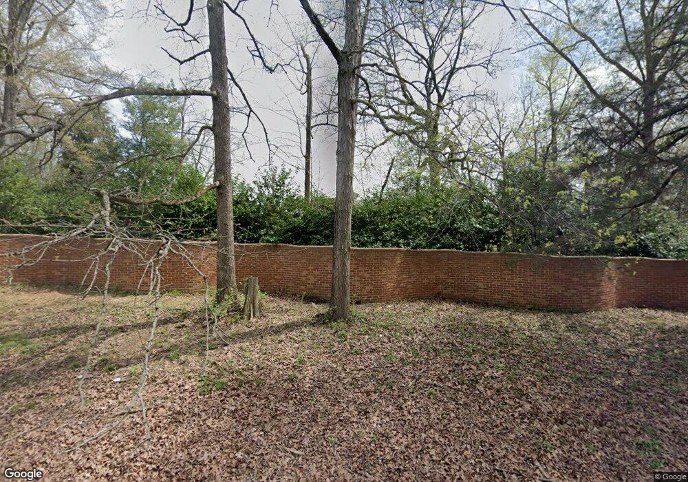
971 Wesleyan Dr Macon, GA 31210
Estimated Value: $411,000 - $670,000
4
Beds
4
Baths
4,807
Sq Ft
$116/Sq Ft
Est. Value
About This Home
This home is located at 971 Wesleyan Dr, Macon, GA 31210 and is currently estimated at $559,322, approximately $116 per square foot. 971 Wesleyan Dr is a home located in Bibb County with nearby schools including Springdale Elementary School, Howard Middle School, and Howard High School.
Ownership History
Date
Name
Owned For
Owner Type
Purchase Details
Closed on
May 4, 2022
Sold by
Sheridan Chris R
Bought by
Sheridan Ramona
Current Estimated Value
Purchase Details
Closed on
Dec 7, 2021
Sold by
Sutherland Sheridan Alice
Bought by
Phil J And Alice S Sheridan Foundation Inc
Purchase Details
Closed on
May 19, 2006
Sold by
Treaty Fields Llc
Bought by
Sheridan Chris R
Purchase Details
Closed on
Oct 7, 2005
Sold by
Coke Cecil R and Coke Lisa L
Bought by
Treaty Field Llc
Create a Home Valuation Report for This Property
The Home Valuation Report is an in-depth analysis detailing your home's value as well as a comparison with similar homes in the area
Purchase History
| Date | Buyer | Sale Price | Title Company |
|---|---|---|---|
| Sheridan Ramona | -- | -- | |
| Phil J And Alice S Sheridan Foundation Inc | -- | None Listed On Document | |
| Sheridan Chris R | -- | None Available | |
| Sheridan Chris R | $500,000 | None Avilebel | |
| Treaty Field Llc | $447,500 | None Available |
Source: Public Records
Tax History
| Year | Tax Paid | Tax Assessment Tax Assessment Total Assessment is a certain percentage of the fair market value that is determined by local assessors to be the total taxable value of land and additions on the property. | Land | Improvement |
|---|---|---|---|---|
| 2025 | $5,359 | $218,064 | $46,119 | $171,945 |
| 2024 | $5,268 | $207,421 | $35,476 | $171,945 |
| 2023 | $5,268 | $207,421 | $35,476 | $171,945 |
| 2022 | $6,682 | $200,017 | $69,712 | $130,305 |
| 2021 | $7,335 | $200,017 | $69,712 | $130,305 |
| 2020 | $7,494 | $200,017 | $69,712 | $130,305 |
| 2019 | $7,556 | $200,017 | $69,712 | $130,305 |
| 2018 | $11,751 | $200,017 | $69,712 | $130,305 |
| 2017 | $7,232 | $200,017 | $69,712 | $130,305 |
| 2016 | $6,678 | $200,017 | $69,712 | $130,305 |
| 2015 | $9,453 | $200,017 | $69,712 | $130,305 |
| 2014 | $3,156 | $200,017 | $69,712 | $130,305 |
Source: Public Records
Map
Nearby Homes
- 4726 Cheryle Ann Dr
- 1406 Maplewood Dr
- 5104 Pine Ridge Dr
- 203 Oberon Place
- 4713 Lattimore Dr
- 4620 S Stratford Oaks Dr
- 567 Billingswood Dr
- 605 Wesleyan Dr
- 3658 Northside Dr
- 1297 Wesleyan Dr
- 1838 Forest Hill Rd
- 108 Hillbrooke Ct
- 4811 Guerry Dr
- 1422 Forest Hill Rd
- 750 Stonington Place
- 5341 Northside Dr
- 930 Hill Place
- 870 Glen Hill Ct
- 4939 Guerry Dr
- 428 Wesleyan Dr
- 985 Wesleyan Dr
- 4801 Cheryle Ann Dr
- 895 Wesleyan Dr
- 972 Wesleyan Dr
- 4787 Cheryle Ann Dr
- 987 Wesleyan Dr
- 4763 Cheryle Ann Dr
- 881 Wesleyan Dr
- 4800 Leo Place
- 4755 Cheryle Ann Dr
- 890 Wesleyan Dr
- 4921 Wesleyan Cir
- 865 Wesleyan Dr
- 4784 Cheryle Ann Dr
- 4747 Cheryle Ann Dr
- 4770 Cheryle Ann Dr
- 864 Wesleyan Dr
- 1030 Wesleyan Dr
- 884 Wesleyan Dr
- 908 Quail Trail
Your Personal Tour Guide
Ask me questions while you tour the home.
