9712 Benjamin Trail Inver Grove Heights, MN 55077
Estimated Value: $734,000 - $1,040,631
2
Beds
4
Baths
2,317
Sq Ft
$395/Sq Ft
Est. Value
About This Home
This home is located at 9712 Benjamin Trail, Inver Grove Heights, MN 55077 and is currently estimated at $914,544, approximately $394 per square foot. 9712 Benjamin Trail is a home located in Dakota County with nearby schools including Pine Bend Elementary School, Inver Grove Heights Middle School, and Simley Senior High School.
Ownership History
Date
Name
Owned For
Owner Type
Purchase Details
Closed on
Jul 22, 2011
Sold by
Streiff Scott L and Streiff Jennifer J
Bought by
State Of Minnesota
Current Estimated Value
Purchase Details
Closed on
Mar 17, 1998
Sold by
Grannis David L and Obrien Susan
Bought by
Bakken Lyle A and Falk Michael L
Create a Home Valuation Report for This Property
The Home Valuation Report is an in-depth analysis detailing your home's value as well as a comparison with similar homes in the area
Home Values in the Area
Average Home Value in this Area
Purchase History
| Date | Buyer | Sale Price | Title Company |
|---|---|---|---|
| State Of Minnesota | $1,100 | None Available | |
| Bakken Lyle A | $25,366 | -- | |
| Falk Michael L | $25,366 | -- | |
| Bakken Lyle A | $12,683 | -- | |
| Falk Michael L | $12,683 | -- |
Source: Public Records
Tax History Compared to Growth
Tax History
| Year | Tax Paid | Tax Assessment Tax Assessment Total Assessment is a certain percentage of the fair market value that is determined by local assessors to be the total taxable value of land and additions on the property. | Land | Improvement |
|---|---|---|---|---|
| 2024 | $10,396 | $939,100 | $328,500 | $610,600 |
| 2023 | $10,396 | $914,300 | $320,100 | $594,200 |
| 2022 | $9,220 | $895,900 | $319,800 | $576,100 |
| 2021 | $9,182 | $767,300 | $278,100 | $489,200 |
| 2020 | $8,620 | $753,100 | $264,800 | $488,300 |
| 2019 | $9,103 | $709,600 | $252,200 | $457,400 |
| 2018 | $8,798 | $698,500 | $240,200 | $458,300 |
| 2017 | $8,523 | $675,000 | $228,800 | $446,200 |
| 2016 | $8,415 | $640,700 | $218,000 | $422,700 |
| 2015 | $7,924 | $634,500 | $212,600 | $421,900 |
| 2014 | -- | $577,300 | $204,800 | $372,500 |
| 2013 | -- | $537,300 | $191,000 | $346,300 |
Source: Public Records
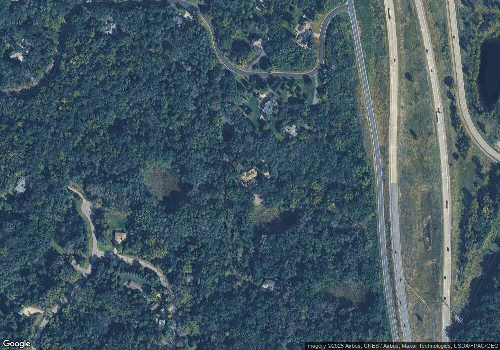
Map
Nearby Homes
- 9649-9665 Cedarwood Ct
- TBd Cahill Blvd Blvd
- 2324 99th St E
- 8904 Brunswick Path Unit 2104
- 8816 Brunell Way Unit 404
- 8755 Benson Way Unit 101
- 8916 Coffman Path
- 8827 Coffman Path
- 8789 Branson Dr Unit 72
- 2853 87th St E Unit 29
- 11025 Courthouse Blvd
- 8336 Cloman Ave
- 8124 Clifford Cir
- 8404 Copperfield Way Unit 101
- 8406 Copperfield Way Unit 102
- 8381 Corcoran Cir Unit 49
- 8104 Dana Path
- 8086 Dana Path
- 7944 Charles Way
- 7996 Corey Path
- 3078 96th St E
- 3042 96th St E
- 9716 Benjamin Trail
- 2945 Bruce Ct
- 3025 96th St E
- 2915 Bruce Ct
- 3071 96th St E
- 2930 Bruce Ct
- 2956 96th St E
- 2965 96th St E
- 9955 Courthouse Blvd
- 2965 Bruce Ct
- 9865 Brent Ave
- 2872 96th St E
- 9543 Courthouse Blvd
- 2871 96th St E
- 2927 96th St E
- 9825 Brent Ave
- 9511 Courthouse Blvd
- XXX Courthouse Blvd Ct