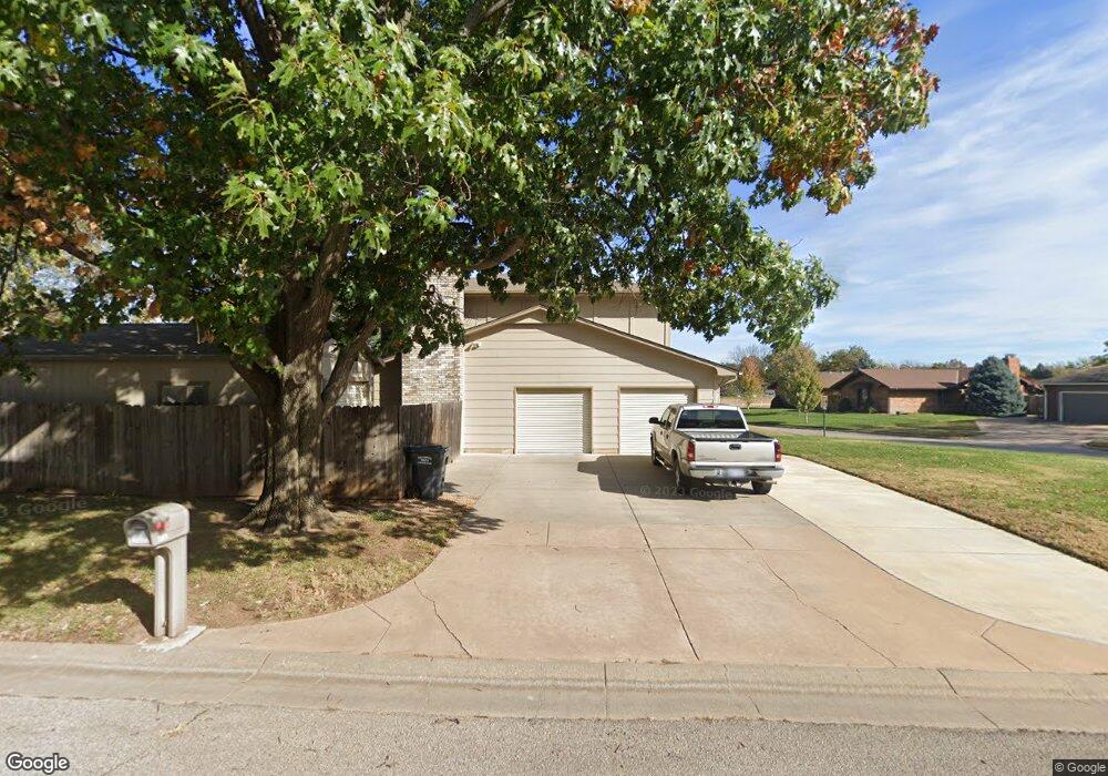
9712 W Harvest Ct Wichita, KS 67212
Westlink NeighborhoodEstimated Value: $274,696 - $284,000
4
Beds
3
Baths
2,286
Sq Ft
$122/Sq Ft
Est. Value
About This Home
This home is located at 9712 W Harvest Ct, Wichita, KS 67212 and is currently estimated at $279,348, approximately $122 per square foot. 9712 W Harvest Ct is a home located in Sedgwick County with nearby schools including McCollom Elementary School, Wilbur Middle School, and Wichita Northwest High School.
Ownership History
Date
Name
Owned For
Owner Type
Purchase Details
Closed on
Mar 3, 2011
Sold by
Newsom Mark E and Newsom Kimberly K
Bought by
Newsom Mark E and Newsom Kimberly K
Current Estimated Value
Purchase Details
Closed on
Aug 27, 2008
Sold by
Cressler James R and Cressler Brandee
Bought by
Newsom Mark E and Newsom Kimberly K
Home Financials for this Owner
Home Financials are based on the most recent Mortgage that was taken out on this home.
Original Mortgage
$149,150
Interest Rate
6.29%
Mortgage Type
New Conventional
Purchase Details
Closed on
Jul 31, 1998
Sold by
Duncan Nannette E
Bought by
Cressler James Robert
Home Financials for this Owner
Home Financials are based on the most recent Mortgage that was taken out on this home.
Original Mortgage
$72,500
Interest Rate
6.94%
Create a Home Valuation Report for This Property
The Home Valuation Report is an in-depth analysis detailing your home's value as well as a comparison with similar homes in the area
Home Values in the Area
Average Home Value in this Area
Purchase History
| Date | Buyer | Sale Price | Title Company |
|---|---|---|---|
| Newsom Mark E | -- | None Available | |
| Newsom Mark E | -- | None Available | |
| Cressler James Robert | -- | Fidelity Title |
Source: Public Records
Mortgage History
| Date | Status | Borrower | Loan Amount |
|---|---|---|---|
| Closed | Newsom Mark E | $149,150 | |
| Previous Owner | Cressler James Robert | $72,500 |
Source: Public Records
Tax History Compared to Growth
Tax History
| Year | Tax Paid | Tax Assessment Tax Assessment Total Assessment is a certain percentage of the fair market value that is determined by local assessors to be the total taxable value of land and additions on the property. | Land | Improvement |
|---|---|---|---|---|
| 2025 | $2,756 | $27,670 | $5,279 | $22,391 |
| 2023 | $2,756 | $25,554 | $3,439 | $22,115 |
| 2022 | $2,565 | $23,012 | $3,255 | $19,757 |
| 2021 | $2,484 | $21,713 | $3,255 | $18,458 |
| 2020 | $2,350 | $20,482 | $3,255 | $17,227 |
| 2019 | $2,197 | $19,137 | $3,255 | $15,882 |
| 2018 | $2,076 | $18,056 | $2,220 | $15,836 |
| 2017 | $1,997 | $0 | $0 | $0 |
| 2016 | $1,916 | $0 | $0 | $0 |
| 2015 | $1,807 | $0 | $0 | $0 |
| 2014 | $1,770 | $0 | $0 | $0 |
Source: Public Records
Map
Nearby Homes
- 9801 W 12th St N
- 9804 W 12th St N
- 1138 N Chipper Ln
- 9221 W Suncrest St
- 9336 W Briarwood Ct
- 1112 N Westfield Ave
- 860 N Valleyview St
- 9026 W Harvest Ct
- 1534 N Valleyview Ct
- 8930 W Suncrest St
- 1548 N Amarado Ct
- 1106 N Lark Ln
- 10701 W Harvest Ct
- 1109 N Lark Ln
- 10726 W Ponderosa Cir
- 967 N Robin Rd
- 1736 N Amarado St
- 1544 N Westgate St
- 1671 N Maybelle St
- 10119 W Westport St
- 9716 W Harvest Ct
- 1201 N Westlink Ave
- 9720 W Harvest Ct
- 9711 W Harvest Ln
- 9732 W Harvest Ct
- 1209 N Westlink Ave
- 9728 W Harvest Ct
- 9736 W Harvest Ct
- 9725 W Harvest Ln
- 9724 W Harvest Ct
- 1217 N Westlink Ave
- 9737 W Harvest Ln
- 9719 W 12th St N
- 9812 W Harvest Ct
- 9711 W 12th St N
- 9808 W Harvest Ct
- 9804 W Harvest Ct
- 9745 W Harvest Ln
- 1225 N Westlink Ave
- 1135 N Westlink Ave