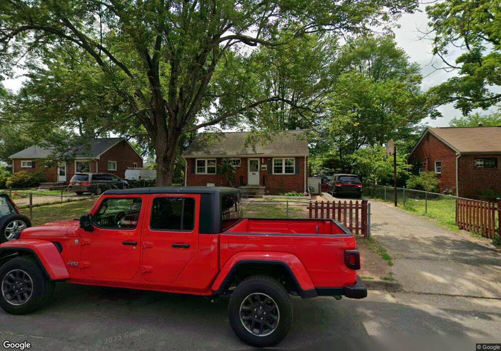
9714 Brent St Manassas, VA 20110
Old Town Manassas NeighborhoodEstimated Value: $376,000 - $506,000
3
Beds
2
Baths
1,353
Sq Ft
$336/Sq Ft
Est. Value
About This Home
This home is located at 9714 Brent St, Manassas, VA 20110 and is currently estimated at $454,435, approximately $335 per square foot. 9714 Brent St is a home located in Manassas City with nearby schools including Baldwin Elementary School, Mayfield Intermediate School, and Grace E. Metz Middle School.
Ownership History
Date
Name
Owned For
Owner Type
Purchase Details
Closed on
Aug 10, 2009
Sold by
Us Bank National Association
Bought by
Butler James C and Butler Laura M
Current Estimated Value
Purchase Details
Closed on
Apr 2, 2009
Sold by
Henderson John W and Henderson Orpha L
Bought by
Us Bank National Association
Purchase Details
Closed on
Oct 15, 2004
Sold by
Henderson John W
Bought by
Kline John D
Home Financials for this Owner
Home Financials are based on the most recent Mortgage that was taken out on this home.
Original Mortgage
$220,000
Interest Rate
5.8%
Mortgage Type
New Conventional
Create a Home Valuation Report for This Property
The Home Valuation Report is an in-depth analysis detailing your home's value as well as a comparison with similar homes in the area
Home Values in the Area
Average Home Value in this Area
Purchase History
| Date | Buyer | Sale Price | Title Company |
|---|---|---|---|
| Butler James C | $93,100 | Chicago Title Insurance Co | |
| Us Bank National Association | $98,217 | Key Title | |
| Kline John D | $220,000 | -- |
Source: Public Records
Mortgage History
| Date | Status | Borrower | Loan Amount |
|---|---|---|---|
| Previous Owner | Kline John D | $220,000 |
Source: Public Records
Tax History Compared to Growth
Tax History
| Year | Tax Paid | Tax Assessment Tax Assessment Total Assessment is a certain percentage of the fair market value that is determined by local assessors to be the total taxable value of land and additions on the property. | Land | Improvement |
|---|---|---|---|---|
| 2024 | $4,486 | $356,000 | $150,500 | $205,500 |
| 2023 | $4,381 | $347,700 | $146,000 | $201,700 |
| 2022 | $4,031 | $300,400 | $127,000 | $173,400 |
| 2021 | $3,721 | $260,400 | $113,500 | $146,900 |
| 2020 | $3,545 | $242,800 | $110,000 | $132,800 |
| 2019 | $3,423 | $231,300 | $106,500 | $124,800 |
| 2018 | $3,295 | $225,700 | $101,500 | $124,200 |
| 2017 | -- | $221,600 | $101,500 | $120,100 |
| 2016 | $3,073 | $219,000 | $0 | $0 |
| 2015 | -- | $217,700 | $101,500 | $116,200 |
| 2014 | -- | $0 | $0 | $0 |
Source: Public Records
Map
Nearby Homes
- 9723 Grant Ave
- 9739 Grant Ave
- 9679 Swallowtail Ln
- 9681 Swallowtail Ln
- 9683 Swallowtail Ln
- 9675 Swallowtail Ln
- 9667 Swallowtail Ln
- 9677 Swallowtail Ln
- 9671 Swallowtail Ln
- 9639 Grant Ave
- 9669 Swallowtail Ln
- 9718 Pickett Ln
- 9665 Swallowtail Ln
- Harrington Plan at Ashberry
- Wentworth Plan at Ashberry
- 9680 Swallowtail Ln
- 9623 Grant Ave
- 9832 Buckner Rd
- 9833 Town Ln
- 9712 Brent St
- 9716 Brent St
- 9710 Brent St
- 9731 Grant Ave
- 9725 Grant Ave
- 9737 Grant Ave
- 9000B Sandalwood Dr
- 9000C Sandalwood Dr
- 9002B Sandalwood Dr
- 9004D Sandalwood Dr
- 9004C Sandalwood Dr
- 9004B Sandalwood Dr
- 9004A Sandalwood Dr
- 9002A Sandalwood Dr
- 9002D Sandalwood Dr
- 9002C Sandalwood Dr
- 9000D Sandalwood Dr
- 9000A Sandalwood Dr
- 9002A Sandalwood Dr Unit 9
- 9721 Grant Ave