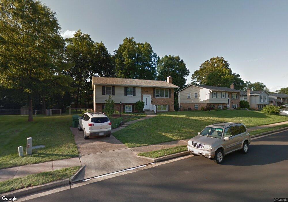
9716 Botsford Rd Manassas, VA 20109
Estimated Value: $508,279 - $583,000
4
Beds
3
Baths
1,205
Sq Ft
$450/Sq Ft
Est. Value
About This Home
This home is located at 9716 Botsford Rd, Manassas, VA 20109 and is currently estimated at $542,820, approximately $450 per square foot. 9716 Botsford Rd is a home located in Prince William County with nearby schools including Sudley Elementary School, Unity Braxton Middle School, and Unity Reed High School.
Ownership History
Date
Name
Owned For
Owner Type
Purchase Details
Closed on
Feb 23, 2021
Sold by
Crabb Dal Ed and Crabb Charlotte J
Bought by
Shalom Yaakov Tzuri
Current Estimated Value
Home Financials for this Owner
Home Financials are based on the most recent Mortgage that was taken out on this home.
Original Mortgage
$250,000
Outstanding Balance
$223,598
Interest Rate
2.7%
Mortgage Type
New Conventional
Estimated Equity
$319,222
Create a Home Valuation Report for This Property
The Home Valuation Report is an in-depth analysis detailing your home's value as well as a comparison with similar homes in the area
Home Values in the Area
Average Home Value in this Area
Purchase History
| Date | Buyer | Sale Price | Title Company |
|---|---|---|---|
| Shalom Yaakov Tzuri | $400,000 | Navy Federal Title Svcs Llc |
Source: Public Records
Mortgage History
| Date | Status | Borrower | Loan Amount |
|---|---|---|---|
| Open | Shalom Yaakov Tzuri | $250,000 |
Source: Public Records
Tax History
| Year | Tax Paid | Tax Assessment Tax Assessment Total Assessment is a certain percentage of the fair market value that is determined by local assessors to be the total taxable value of land and additions on the property. | Land | Improvement |
|---|---|---|---|---|
| 2025 | $4,415 | $466,400 | $140,700 | $325,700 |
| 2024 | $4,415 | $443,900 | $129,800 | $314,100 |
| 2023 | $4,424 | $425,200 | $125,000 | $300,200 |
| 2022 | $4,613 | $416,500 | $125,000 | $291,500 |
| 2021 | $4,678 | $381,500 | $113,700 | $267,800 |
| 2020 | $5,504 | $355,100 | $113,700 | $241,400 |
| 2019 | $5,199 | $335,400 | $113,700 | $221,700 |
| 2018 | $3,934 | $325,800 | $113,700 | $212,100 |
| 2017 | $3,877 | $312,200 | $113,700 | $198,500 |
| 2016 | $3,642 | $295,600 | $100,300 | $195,300 |
| 2015 | $3,242 | $287,900 | $96,800 | $191,100 |
| 2014 | $3,242 | $256,600 | $85,500 | $171,100 |
Source: Public Records
Map
Nearby Homes
- 7398 Roxbury Ave
- 7711 Woodstock St
- 7405 Forrester Ln
- 7512 Forrester Ln
- 9632 Lafayette Ave
- 9608 Lafayette Ave
- 9503 Damascus Dr
- 7776 Gateshead Ln
- 9847 Alan Ct
- 7726 Amherst Dr
- 7644 Quail Run Ln
- 10413 Rapidan Ln
- 7555 Alleghany Rd
- 7817 Appomattox Ave
- 10127 Lomond Dr
- 7614 Jordon Hollow Ct
- 7416 Rokeby Dr
- 7498 Tangier Way
- 9501 Westmoreland Ave
- 124 Baker St
- 9714 Botsford Rd
- 9718 Botsford Rd
- 9803 Dublin Dr
- 9805 Dublin Dr
- 9712 Botsford Rd
- 9801 Dublin Dr
- 9720 Botsford Rd
- 9713 Botsford Rd
- 9717 Botsford Rd
- 9723 Dublin Dr
- 7505 Donset Ct
- 9710 Botsford Rd
- 9711 Botsford Rd
- 7509 Donset Ct
- 9721 Dublin Dr
- 9709 Botsford Rd
- 9804 Dublin Dr
- 9806 Dublin Dr
- 9712 Sudley Manor Dr
- 9710 Sudley Manor Dr
Your Personal Tour Guide
Ask me questions while you tour the home.