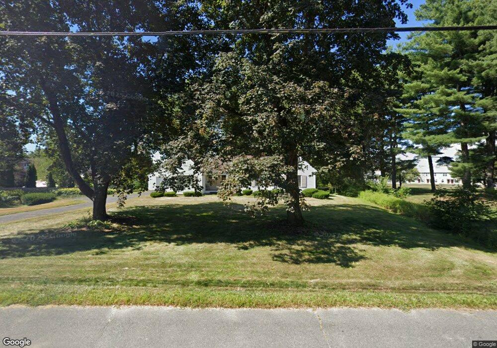
972 N Pleasant St Amherst, MA 01002
Estimated Value: $520,000 - $577,000
3
Beds
1
Bath
1,598
Sq Ft
$344/Sq Ft
Est. Value
About This Home
This home is located at 972 N Pleasant St, Amherst, MA 01002 and is currently estimated at $550,151, approximately $344 per square foot. 972 N Pleasant St is a home located in Hampshire County with nearby schools including Wildwood Elementary School, Amherst Regional Middle School, and Amherst Regional High School.
Ownership History
Date
Name
Owned For
Owner Type
Purchase Details
Closed on
Oct 11, 2023
Sold by
Keeley Josephine B
Bought by
Univ Of Ma Amherst Bldg A
Current Estimated Value
Purchase Details
Closed on
Mar 28, 2008
Sold by
Keeley Josephine B and Keeley Josephine C
Bought by
Keeley Josephine B and Keeley Thomas J
Create a Home Valuation Report for This Property
The Home Valuation Report is an in-depth analysis detailing your home's value as well as a comparison with similar homes in the area
Home Values in the Area
Average Home Value in this Area
Purchase History
| Date | Buyer | Sale Price | Title Company |
|---|---|---|---|
| Univ Of Ma Amherst Bldg A | $500,000 | None Available | |
| Keeley Josephine B | -- | -- | |
| Keeley Josephine B | -- | -- |
Source: Public Records
Tax History
| Year | Tax Paid | Tax Assessment Tax Assessment Total Assessment is a certain percentage of the fair market value that is determined by local assessors to be the total taxable value of land and additions on the property. | Land | Improvement |
|---|---|---|---|---|
| 2025 | $80 | $448,200 | $215,800 | $232,400 |
| 2024 | $7,856 | $424,400 | $204,200 | $220,200 |
| 2023 | $7,566 | $376,400 | $186,600 | $189,800 |
| 2022 | $7,191 | $338,100 | $169,100 | $169,000 |
| 2021 | $6,851 | $314,000 | $157,200 | $156,800 |
| 2020 | $6,694 | $314,000 | $157,200 | $156,800 |
| 2019 | $1,657 | $300,000 | $157,200 | $142,800 |
| 2018 | $6,342 | $300,000 | $157,200 | $142,800 |
| 2017 | $6,064 | $277,800 | $150,200 | $127,600 |
| 2016 | $5,895 | $277,800 | $150,200 | $127,600 |
| 2015 | $5,706 | $277,800 | $150,200 | $127,600 |
Source: Public Records
Map
Nearby Homes
- 208 Rolling Ridge Rd
- 167 Rolling Ridge Rd
- 12 Teawaddle Ln
- 185 Cherry Ln
- Lot A Kingman Rd
- Lot 3 Roosevelt St
- 50 Mount Pleasant
- 60 Red Gate Ln
- 3 Frost Ln
- 0 Red Gate Ln Unit 73348273
- 174 Lincoln Ave
- 75 Amity Place Unit 75
- 63 Amity Place Unit 63
- 0 Main St
- 242 N East St Unit 24
- 48 Gray St
- 6 Shattuck Rd
- 38 S Plain Rd
- 113 Juggler Meadow Rd
- 30 Greenleaves Dr
- 956 N Pleasant St
- 971 N Pleasant St
- 977 N Pleasant St
- 985 N Pleasant St
- 948 N Pleasant St
- 1010 N Pleasant St Unit 2
- 1010 N Pleasant St
- 1040 N Pleasant St
- 19 Hobart Ln Unit 21
- 27 Hobart Ln Unit 29
- 39 Hobart Ln Unit 41
- 39 Hobart Ln Unit 39
- 39 Hobart Ln
- 902 N Pleasant St
- 20 Hobart Ln
- 24 Hobart Ln
- 22 Hobart Ln
- 18 Hobart Ln
- 24 Hobart Ln Unit 40
- 24 Hobart Ln Unit 32
Your Personal Tour Guide
Ask me questions while you tour the home.