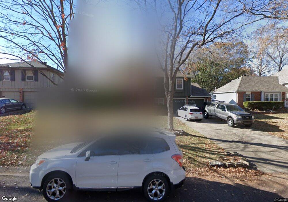
9720 Benson St Overland Park, KS 66212
Elmhurst NeighborhoodEstimated Value: $351,000 - $374,000
3
Beds
3
Baths
1,128
Sq Ft
$324/Sq Ft
Est. Value
About This Home
This home is located at 9720 Benson St, Overland Park, KS 66212 and is currently estimated at $365,614, approximately $324 per square foot. 9720 Benson St is a home located in Johnson County with nearby schools including Oak Park-Carpenter Elementary School, Indian Woods Middle School, and Shawnee Mission South High School.
Ownership History
Date
Name
Owned For
Owner Type
Purchase Details
Closed on
Mar 18, 2008
Sold by
Stump Lonny R and Stump Jacqueline R
Bought by
Trinkle Darren E W
Current Estimated Value
Purchase Details
Closed on
May 10, 2007
Sold by
Johnson William J and Johnson Andra L
Bought by
Stump Lonny R and Stump Jacqueline R
Home Financials for this Owner
Home Financials are based on the most recent Mortgage that was taken out on this home.
Original Mortgage
$141,600
Interest Rate
6.22%
Mortgage Type
Future Advance Clause Open End Mortgage
Create a Home Valuation Report for This Property
The Home Valuation Report is an in-depth analysis detailing your home's value as well as a comparison with similar homes in the area
Home Values in the Area
Average Home Value in this Area
Purchase History
| Date | Buyer | Sale Price | Title Company |
|---|---|---|---|
| Trinkle Darren E W | -- | Assured Quality Title Co | |
| Stump Lonny R | -- | Coffelt Land Title Inc |
Source: Public Records
Mortgage History
| Date | Status | Borrower | Loan Amount |
|---|---|---|---|
| Previous Owner | Stump Lonny R | $141,600 |
Source: Public Records
Tax History Compared to Growth
Tax History
| Year | Tax Paid | Tax Assessment Tax Assessment Total Assessment is a certain percentage of the fair market value that is determined by local assessors to be the total taxable value of land and additions on the property. | Land | Improvement |
|---|---|---|---|---|
| 2024 | $3,702 | $38,479 | $7,420 | $31,059 |
| 2023 | $3,486 | $35,673 | $7,420 | $28,253 |
| 2022 | $3,153 | $32,522 | $6,746 | $25,776 |
| 2021 | $3,015 | $29,532 | $5,866 | $23,666 |
| 2020 | $2,852 | $27,968 | $4,513 | $23,455 |
| 2019 | $2,576 | $25,300 | $3,478 | $21,822 |
| 2018 | $2,447 | $23,932 | $3,478 | $20,454 |
| 2017 | $2,317 | $22,310 | $3,478 | $18,832 |
| 2016 | $2,247 | $21,287 | $3,478 | $17,809 |
| 2015 | $2,167 | $20,953 | $3,478 | $17,475 |
| 2013 | -- | $20,091 | $3,478 | $16,613 |
Source: Public Records
Map
Nearby Homes
- 9801 Grandview St
- 8902 W 97th Terrace
- 9605 Eby St
- 9531 Kessler St
- 9503 Grandview St
- 9831 Carter Dr
- 9524 Carter Dr
- 9303 Grant Dr
- 9406 Kessler Ln
- 9708 W 96th Terrace
- 9912 Knox Dr
- 10000 Knox Dr
- 8100 W 98th St
- 9804 W 100th Terrace
- 8201 W 100th Terrace
- 9303 Hayes Dr
- 9193 W 92nd Place
- 9712 Craig Dr
- 9146 W 92nd Place
- 9921 Wedd Dr