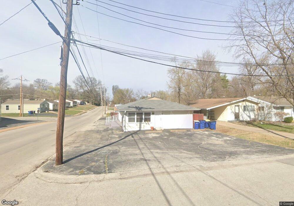
9723 Breckenridge Rd Saint Louis, MO 63114
Estimated Value: $95,197
--
Bed
--
Bath
1,200
Sq Ft
$79/Sq Ft
Est. Value
About This Home
This home is located at 9723 Breckenridge Rd, Saint Louis, MO 63114 and is currently estimated at $95,197, approximately $79 per square foot. 9723 Breckenridge Rd is a home located in St. Louis County with nearby schools including Marion Elementary School, Ritenour Middle School, and Ritenour Senior High School.
Ownership History
Date
Name
Owned For
Owner Type
Purchase Details
Closed on
Apr 27, 2007
Sold by
Brown Joan R
Bought by
Brown Joan Ruth and Joan Ruth Brown Revocable Living Trust
Current Estimated Value
Purchase Details
Closed on
Jul 29, 2005
Sold by
Mitchell Johnifer L
Bought by
Brown Jean R
Home Financials for this Owner
Home Financials are based on the most recent Mortgage that was taken out on this home.
Original Mortgage
$41,600
Outstanding Balance
$21,505
Interest Rate
5.51%
Mortgage Type
Purchase Money Mortgage
Estimated Equity
$73,692
Purchase Details
Closed on
May 20, 2004
Sold by
Mitchell Cloyd and Mitchell Sylvester
Bought by
Mitchell Johnifer L
Create a Home Valuation Report for This Property
The Home Valuation Report is an in-depth analysis detailing your home's value as well as a comparison with similar homes in the area
Home Values in the Area
Average Home Value in this Area
Purchase History
| Date | Buyer | Sale Price | Title Company |
|---|---|---|---|
| Brown Joan Ruth | -- | None Available | |
| Brown Jean R | $52,000 | Cltc | |
| Mitchell Johnifer L | -- | Enterprise Land Title Co Inc |
Source: Public Records
Mortgage History
| Date | Status | Borrower | Loan Amount |
|---|---|---|---|
| Open | Brown Jean R | $41,600 |
Source: Public Records
Tax History Compared to Growth
Tax History
| Year | Tax Paid | Tax Assessment Tax Assessment Total Assessment is a certain percentage of the fair market value that is determined by local assessors to be the total taxable value of land and additions on the property. | Land | Improvement |
|---|---|---|---|---|
| 2025 | $2,321 | $22,460 | $7,520 | $14,940 |
| 2024 | $2,321 | $20,580 | $7,520 | $13,060 |
| 2023 | $2,321 | $20,580 | $7,520 | $13,060 |
| 2022 | $2,340 | $19,170 | $7,520 | $11,650 |
| 2021 | $2,293 | $19,170 | $7,520 | $11,650 |
| 2020 | $2,300 | $18,430 | $6,690 | $11,740 |
| 2019 | $2,272 | $18,430 | $6,690 | $11,740 |
| 2018 | $2,247 | $17,060 | $6,690 | $10,370 |
| 2017 | $2,139 | $17,060 | $6,690 | $10,370 |
| 2016 | $2,099 | $16,830 | $5,020 | $11,810 |
| 2015 | $2,089 | $16,830 | $5,020 | $11,810 |
| 2014 | $2,008 | $16,610 | $6,430 | $10,180 |
Source: Public Records
Map
Nearby Homes
- 3222 W Tennyson Ave
- 3294 W Tennyson Ave
- 3301 Suncrest Ave
- 3205 Airway Ave
- 3213 Airway Ave
- 3329 W Milton Ave
- 3360 Suncrest Ave
- 3317 Royalton Ave
- 3244 Chaucer Ave
- 3219 Coles Ave
- 3239 Chaucer Ave
- 10027 Breckenridge Rd
- 3114 Sherman Dr
- 9922 Carlyle Ave
- 3316 Edmundson Rd
- 3525 Wismer Rd
- 3520 Wismer Rd
- 3447 Eastridge Ln
- 3355 Edmundson Rd
- 3329 Dix Ave
- 3209 Suncrest Ave
- 3211 Suncrest Ave
- 9728 Breckenridge Rd
- 3202 W Tennyson Ave
- 3206 W Tennyson Ave
- 3215 Suncrest Ave
- 3208 W Tennyson Ave
- 9732 Breckenridge Rd
- 9720 Breckenridge Rd
- 3202 Suncrest Ave
- 3210 W Tennyson Ave
- 3204 Suncrest Ave
- 3046 W Tennyson Ave
- 9736 Breckenridge Rd
- 3208 Suncrest Ave
- 3212 W Tennyson Ave
- 9714 Breckenridge Rd
- 3223 Suncrest Ave
- 9740 Breckenridge Rd
- 3220 Suncrest Ave