9724 N Sunnyside Ave Clovis, CA 93619
Estimated Value: $766,000 - $1,129,000
4
Beds
3
Baths
2,981
Sq Ft
$332/Sq Ft
Est. Value
About This Home
This home is located at 9724 N Sunnyside Ave, Clovis, CA 93619 and is currently estimated at $989,555, approximately $331 per square foot. 9724 N Sunnyside Ave is a home located in Fresno County with nearby schools including Riverview Elementary School, Granite Ridge Intermediate School, and Clovis North High School.
Ownership History
Date
Name
Owned For
Owner Type
Purchase Details
Closed on
Jan 7, 2014
Sold by
Long Mitchell J and Long Debra L
Bought by
Long Mitchell J and Declarati Debra
Current Estimated Value
Home Financials for this Owner
Home Financials are based on the most recent Mortgage that was taken out on this home.
Original Mortgage
$189,000
Interest Rate
4.4%
Mortgage Type
New Conventional
Purchase Details
Closed on
Oct 22, 2003
Sold by
Long Mitchell J and Long Debra L
Bought by
Long Mitchell J and Long Debra L
Create a Home Valuation Report for This Property
The Home Valuation Report is an in-depth analysis detailing your home's value as well as a comparison with similar homes in the area
Purchase History
We collect this data history from publicly available records. To have your information removed, we recommend requesting removal directly through your county’s website.
| Date | Buyer | Sale Price | Title Company |
|---|---|---|---|
| Long Mitchell J | -- | Lawyers Title Sd | |
| Long Mitchell J | -- | Lawyers Title Sd | |
| Long Mitchell J | -- | -- |
Source: Public Records
Mortgage History
We collect this data history from publicly available records. To have your information removed, we recommend requesting removal directly through your county’s website.
| Date | Status | Borrower | Loan Amount |
|---|---|---|---|
| Closed | Long Mitchell J | $189,000 |
Source: Public Records
Tax History
| Year | Tax Paid | Tax Assessment Tax Assessment Total Assessment is a certain percentage of the fair market value that is determined by local assessors to be the total taxable value of land and additions on the property. | Land | Improvement |
|---|---|---|---|---|
| 2025 | $4,311 | $371,915 | $86,116 | $285,799 |
| 2023 | $4,144 | $357,475 | $82,773 | $274,702 |
| 2022 | $4,088 | $350,466 | $81,150 | $269,316 |
| 2021 | $3,972 | $343,595 | $79,559 | $264,036 |
| 2020 | $3,956 | $340,073 | $78,744 | $261,329 |
| 2019 | $3,877 | $333,405 | $77,200 | $256,205 |
| 2018 | $3,791 | $326,869 | $75,687 | $251,182 |
| 2017 | $3,725 | $320,460 | $74,203 | $246,257 |
| 2016 | $3,597 | $314,178 | $72,749 | $241,429 |
| 2015 | $3,541 | $309,460 | $71,657 | $237,803 |
| 2014 | $3,474 | $303,399 | $70,254 | $233,145 |
Source: Public Records
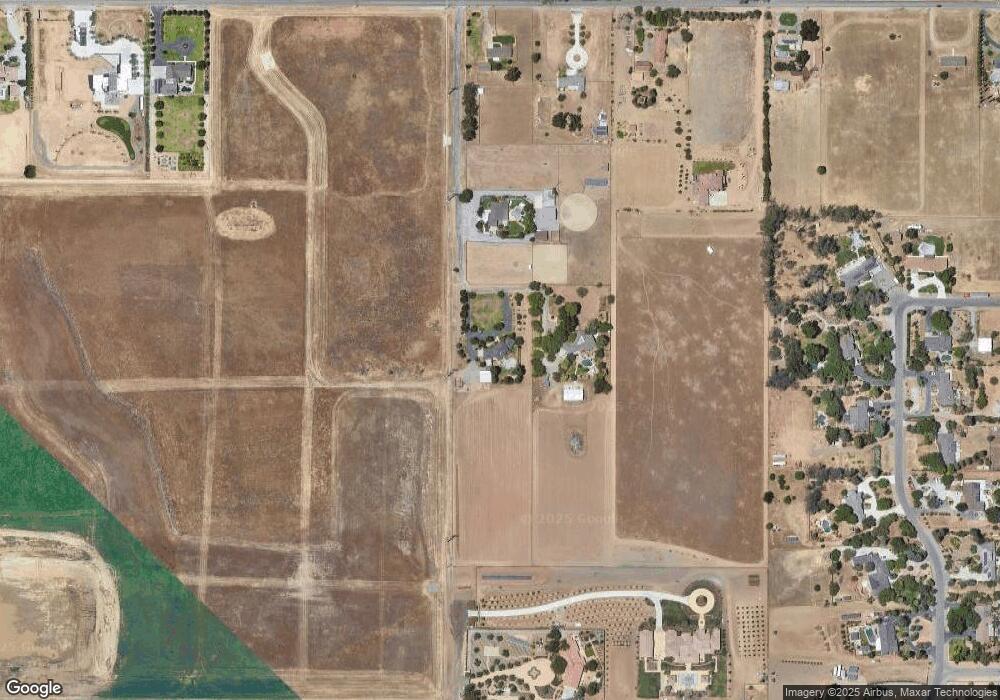
Map
Nearby Homes
- 2492 N Harken Way
- 1061 Fruitwood Ave
- 2271 N Marion Ave
- 2291 N Argyle Ave
- 2283 N Argyle Ave
- 2262 N Marion Ave
- 1059 Springtime Ave
- 1053 Springtime Ave
- 1046 Springtime Ave
- 2295 N Preuss Ave
- 2437 N Preuss Ave
- 887 Fruitwood Ave
- 894 Fruitwood Ave
- 883 Fruitwood Ave
- 874 Solar Ln
- 768 Eclipse Ln
- 2480 N Harken Way
- 886 Fruitwood Ave
- 656 Eclipse Ln
- 864 Solar Ln
- 9798 N Sunnyside Ave
- 9864 N Sunnyside Ave
- 5119 E Behymer Ave
- 5065 E Behymer Ave
- 5025 E Behymer Ave
- 9580 N Sunnyside Ave
- 9777 N Stanford Ave
- 9600 N Sunnyside Ave
- 9729 N Stanford Ave
- 5246 E Ticonderoga Ave
- 9683 N Stanford Ave
- 2101 Descanso Ave
- 4801 E Behymer Ave
- 9494 N Sunnyside Ave
- 5104 E Perrin Rd
- 5070 E Perrin Rd
- 5271 E Ticonderoga Ave
- 5278 E Ticonderoga Ave
- 9637 N Stanford Ave
- 9740 N Stanford Ave
Your Personal Tour Guide
Ask me questions while you tour the home.