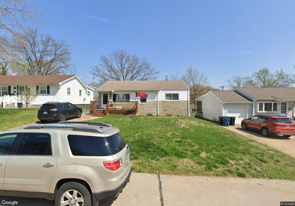
9726 Cisco Dr Saint Louis, MO 63123
Estimated Value: $188,000 - $210,840
3
Beds
1
Bath
888
Sq Ft
$229/Sq Ft
Est. Value
About This Home
This home is located at 9726 Cisco Dr, Saint Louis, MO 63123 and is currently estimated at $203,710, approximately $229 per square foot. 9726 Cisco Dr is a home located in St. Louis County with nearby schools including Mesnier Primary School, Gotsch Intermediate School, and Rogers Middle School.
Ownership History
Date
Name
Owned For
Owner Type
Purchase Details
Closed on
Jun 29, 2006
Sold by
Hemenway Kevin and Hemenway Ann M
Bought by
Oligschlaeger Patrick J
Current Estimated Value
Home Financials for this Owner
Home Financials are based on the most recent Mortgage that was taken out on this home.
Original Mortgage
$20,250
Outstanding Balance
$11,972
Interest Rate
6.67%
Mortgage Type
Credit Line Revolving
Estimated Equity
$191,738
Create a Home Valuation Report for This Property
The Home Valuation Report is an in-depth analysis detailing your home's value as well as a comparison with similar homes in the area
Home Values in the Area
Average Home Value in this Area
Purchase History
| Date | Buyer | Sale Price | Title Company |
|---|---|---|---|
| Oligschlaeger Patrick J | $135,000 | Clt |
Source: Public Records
Mortgage History
| Date | Status | Borrower | Loan Amount |
|---|---|---|---|
| Open | Oligschlaeger Patrick J | $20,250 |
Source: Public Records
Tax History Compared to Growth
Tax History
| Year | Tax Paid | Tax Assessment Tax Assessment Total Assessment is a certain percentage of the fair market value that is determined by local assessors to be the total taxable value of land and additions on the property. | Land | Improvement |
|---|---|---|---|---|
| 2025 | $2,491 | $35,230 | $13,590 | $21,640 |
| 2024 | $2,491 | $30,610 | $9,710 | $20,900 |
| 2023 | $2,409 | $30,610 | $9,710 | $20,900 |
| 2022 | $2,520 | $27,460 | $9,710 | $17,750 |
| 2021 | $2,301 | $27,460 | $9,710 | $17,750 |
| 2020 | $2,012 | $22,370 | $9,600 | $12,770 |
| 2019 | $2,008 | $22,370 | $9,600 | $12,770 |
| 2018 | $1,851 | $18,210 | $6,710 | $11,500 |
| 2017 | $1,840 | $18,210 | $6,710 | $11,500 |
| 2016 | $1,667 | $17,520 | $3,860 | $13,660 |
| 2015 | $1,674 | $17,520 | $3,860 | $13,660 |
| 2014 | $1,485 | $15,440 | $4,670 | $10,770 |
Source: Public Records
Map
Nearby Homes
- 9401 Pancho Dr
- 9327 Cloverhurst Dr
- 9332 Cloverhurst Dr
- 9425 MacKenzie Circle Ct
- 9529 MacKenzie Circle Dr
- 9405 Evandale Dr
- 9118 Radiom Dr
- 9744 Bexley Station Dr Unit 8J
- 9740 Bexley Station Dr
- 9108 Tiber Ct
- 9928 Bonton Dr
- 9926 Mackenzie Rd
- 9837 Huntingdon Ln
- 9723 Crayford Rd Unit 1B
- 9409 Alpine Dr
- 9920 Casa Rosa Dr
- 9121 Niger Dr
- 9606 Dana Ave
- 9347 Mackenzie Rd
- 9544 Dana Ave