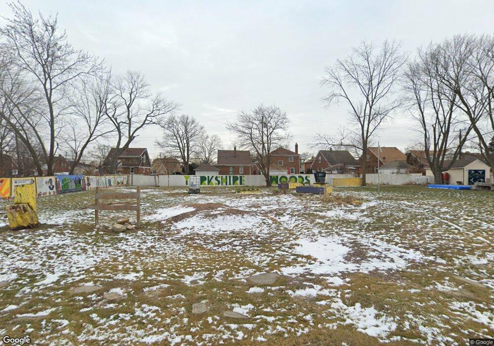
9729 Kensington Ave Detroit, MI 48224
Yorkshire Woods NeighborhoodEstimated Value: $79,000 - $105,000
--
Bed
1
Bath
600
Sq Ft
$157/Sq Ft
Est. Value
About This Home
This home is located at 9729 Kensington Ave, Detroit, MI 48224 and is currently estimated at $94,000, approximately $156 per square foot. 9729 Kensington Ave is a home located in Wayne County with nearby schools including Wayne Elementary School, Edward 'Duke' Ellington Conservatory of Music and Art, and Charles L. Spain Elementary-Middle School.
Ownership History
Date
Name
Owned For
Owner Type
Purchase Details
Closed on
Feb 7, 2013
Sold by
Wayne County Treasurer
Bought by
Planning & Development Dept City Of Detr
Current Estimated Value
Purchase Details
Closed on
Nov 21, 2004
Sold by
Gabriel Daniel B
Bought by
Oxford Properties Investment Co Llc #3
Purchase Details
Closed on
Oct 15, 2004
Sold by
Oxford Properties Investment Co Llc #3
Bought by
Gabriel Daniel B
Purchase Details
Closed on
Jun 15, 2004
Sold by
Gabriel Daniel B
Bought by
Oxford Properties Investment Co Llc #3
Create a Home Valuation Report for This Property
The Home Valuation Report is an in-depth analysis detailing your home's value as well as a comparison with similar homes in the area
Home Values in the Area
Average Home Value in this Area
Purchase History
| Date | Buyer | Sale Price | Title Company |
|---|---|---|---|
| Planning & Development Dept City Of Detr | -- | None Available | |
| Oxford Properties Investment Co Llc #3 | -- | -- | |
| Gabriel Daniel B | -- | Manzo Title Company | |
| Oxford Properties Investment Co Llc #3 | -- | -- |
Source: Public Records
Tax History Compared to Growth
Tax History
| Year | Tax Paid | Tax Assessment Tax Assessment Total Assessment is a certain percentage of the fair market value that is determined by local assessors to be the total taxable value of land and additions on the property. | Land | Improvement |
|---|---|---|---|---|
| 2025 | $23 | $1,100 | $0 | $0 |
| 2024 | $23 | $300 | $0 | $0 |
| 2023 | $23 | $300 | $0 | $0 |
| 2022 | $26 | $300 | $0 | $0 |
| 2021 | $26 | $300 | $0 | $0 |
| 2020 | $26 | $300 | $0 | $0 |
| 2019 | $26 | $300 | $0 | $0 |
| 2018 | $23 | $300 | $0 | $0 |
| 2017 | $1,294 | $0 | $0 | $0 |
| 2016 | $1,294 | $0 | $0 | $0 |
| 2015 | $1,294 | $0 | $0 | $0 |
| 2013 | $1,294 | $12,937 | $0 | $0 |
| 2010 | -- | $18,968 | $1,146 | $17,822 |
Source: Public Records
Map
Nearby Homes
- 9510 Whittier St
- 9175 Everts St
- 9801 Kensington Ave
- 9610 Whittier St
- 9257 Bishop St
- 9969 Bishop St
- 9344 Courville St
- 10253 Mckinney St
- 10024 Balfour Rd
- 10446 Balfour Rd
- 9210 King Richard St
- 10390 Somerset Ave
- 10319 Mckinney St
- 9200 King Richard St
- 10172 Somerset Ave
- 10029 Balfour Rd
- 10130 Somerset Ave
- 6111 Yorkshire Rd
- 9265 Bedford St
- 5984 Courville St
- 9735 Kensington Ave
- 9717 Kensington Ave
- 9745 Kensington Ave
- 9711 Kensington Ave
- 9751 Kensington Ave
- 9728 Kensington Ave
- 9709 Kensington Ave
- 9634 Everts St
- 9626 Everts St
- 9742 Kensington Ave
- 9620 Everts St
- 9759 Kensington Ave
- 9712 Kensington Ave
- 9644 Everts St
- 9610 Everts St
- 9750 Kensington Ave
- 9734 Kensington Ave
- 9700 Kensington Ave
- 9720 Kensington Ave
- 9650 Everts St