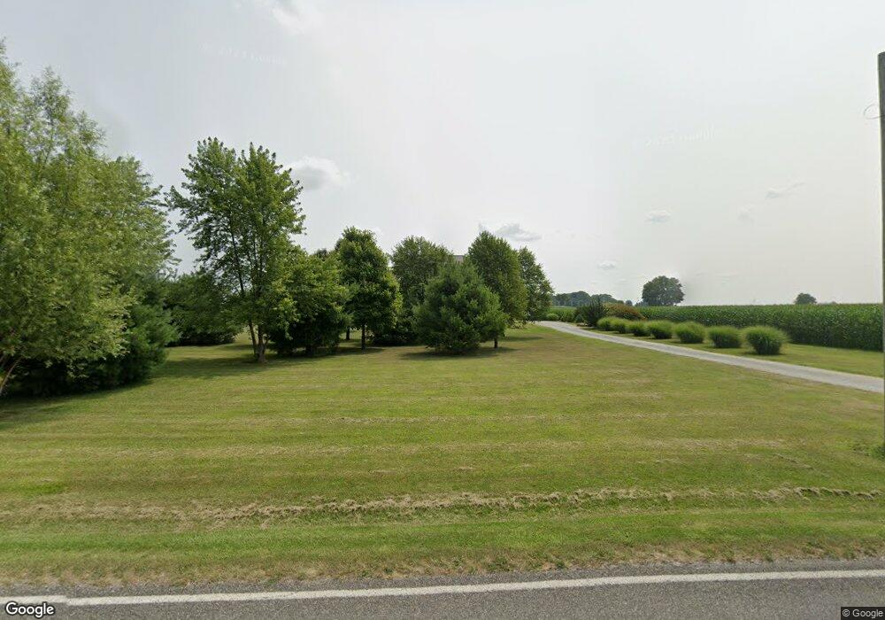
9738 Fir Rd Bourbon, IN 46504
Estimated Value: $453,000 - $514,000
4
Beds
4
Baths
4,884
Sq Ft
$101/Sq Ft
Est. Value
About This Home
This home is located at 9738 Fir Rd, Bourbon, IN 46504 and is currently estimated at $493,493, approximately $101 per square foot. 9738 Fir Rd is a home located in Marshall County with nearby schools including Triton Elementary School, Triton Junior-Senior High School, and Bourbon Christian School.
Ownership History
Date
Name
Owned For
Owner Type
Purchase Details
Closed on
Aug 6, 2021
Sold by
Clark Jason L
Bought by
Clark Jason L and Clark Krystle L
Current Estimated Value
Home Financials for this Owner
Home Financials are based on the most recent Mortgage that was taken out on this home.
Original Mortgage
$330,000
Outstanding Balance
$300,520
Interest Rate
3%
Mortgage Type
New Conventional
Estimated Equity
$192,973
Create a Home Valuation Report for This Property
The Home Valuation Report is an in-depth analysis detailing your home's value as well as a comparison with similar homes in the area
Purchase History
| Date | Buyer | Sale Price | Title Company |
|---|---|---|---|
| Clark Jason L | -- | None Available | |
| Clark Jason L | -- | Metropolitan Title Of In Llc |
Source: Public Records
Mortgage History
| Date | Status | Borrower | Loan Amount |
|---|---|---|---|
| Open | Clark Jason L | $330,000 |
Source: Public Records
Tax History
| Year | Tax Paid | Tax Assessment Tax Assessment Total Assessment is a certain percentage of the fair market value that is determined by local assessors to be the total taxable value of land and additions on the property. | Land | Improvement |
|---|---|---|---|---|
| 2024 | $2,894 | $432,100 | $46,500 | $385,600 |
| 2022 | $2,894 | $411,400 | $43,800 | $367,600 |
| 2021 | $2,031 | $266,300 | $33,700 | $232,600 |
| 2020 | $1,844 | $251,500 | $31,500 | $220,000 |
| 2019 | $1,782 | $241,200 | $22,900 | $218,300 |
| 2018 | $1,764 | $234,300 | $22,000 | $212,300 |
| 2017 | $1,674 | $234,700 | $22,000 | $212,700 |
| 2016 | $1,584 | $235,000 | $22,500 | $212,500 |
| 2014 | $1,507 | $220,300 | $20,200 | $200,100 |
Source: Public Records
Map
Nearby Homes
- 6974 Lincoln Hwy
- 600 W Liberty Ave
- 606 N Thayer St
- 301 E North St
- 301 E Center St
- 404 E Center St
- 301 S Washington St
- 8919 9b Rd
- 8585 8a Rd
- 11557 Jute Rd
- 10209 8a Rd
- 10190 Beechwood Dr
- 10595 Oriole Ln
- 14229 Juniper Rd
- **** **** 15th Rd
- 11288 Shadylane Dr
- 11575 Lawndale Ave
- ** ** S Juniper Rd
- *** S Juniper Rd
- ** *** S Juniper Rd
Your Personal Tour Guide
Ask me questions while you tour the home.
