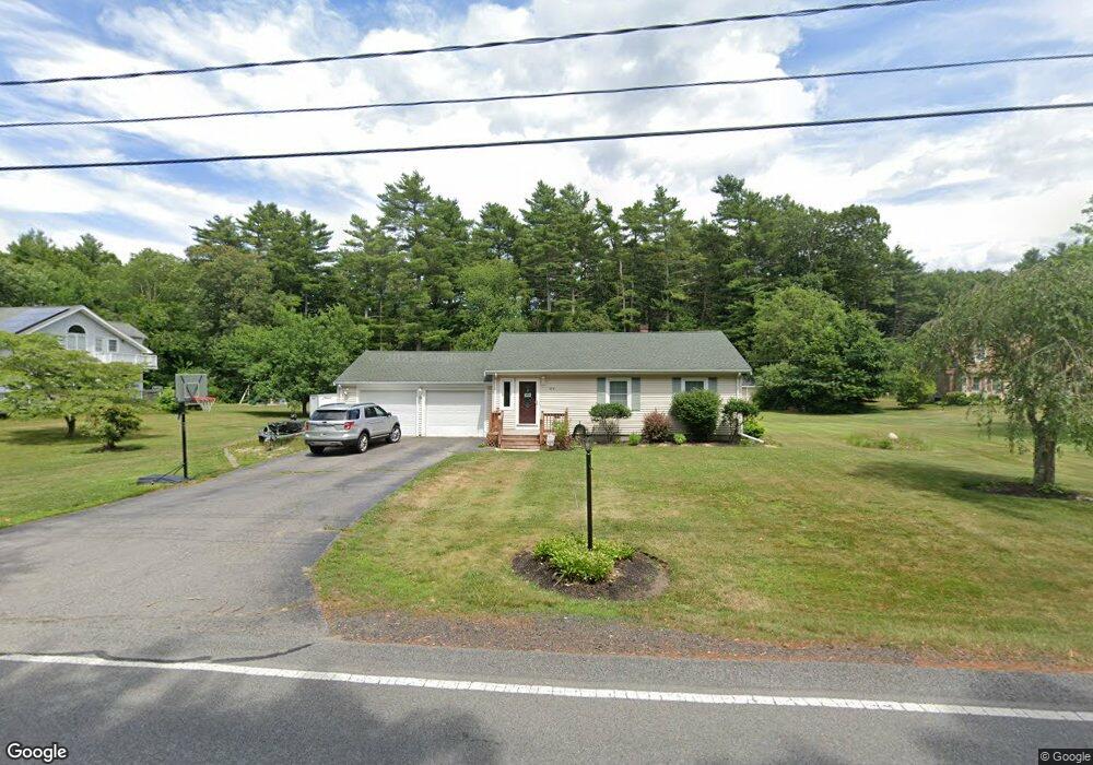
974 Bridge St East Bridgewater, MA 02333
Estimated Value: $558,000 - $675,000
2
Beds
1
Bath
1,050
Sq Ft
$604/Sq Ft
Est. Value
About This Home
This home is located at 974 Bridge St, East Bridgewater, MA 02333 and is currently estimated at $634,028, approximately $603 per square foot. 974 Bridge St is a home located in Plymouth County with nearby schools including Gordon W Mitchell Middle School and East Bridgewater Jr./Sr. High School.
Ownership History
Date
Name
Owned For
Owner Type
Purchase Details
Closed on
Dec 24, 2010
Sold by
Vardaro Colette
Bought by
Silipigno John A and Silipigno Cheryl
Current Estimated Value
Home Financials for this Owner
Home Financials are based on the most recent Mortgage that was taken out on this home.
Original Mortgage
$233,916
Outstanding Balance
$154,752
Interest Rate
4.4%
Mortgage Type
FHA
Estimated Equity
$479,276
Create a Home Valuation Report for This Property
The Home Valuation Report is an in-depth analysis detailing your home's value as well as a comparison with similar homes in the area
Home Values in the Area
Average Home Value in this Area
Purchase History
| Date | Buyer | Sale Price | Title Company |
|---|---|---|---|
| Silipigno John A | $240,000 | -- |
Source: Public Records
Mortgage History
| Date | Status | Borrower | Loan Amount |
|---|---|---|---|
| Open | Silipigno John A | $233,916 |
Source: Public Records
Tax History Compared to Growth
Tax History
| Year | Tax Paid | Tax Assessment Tax Assessment Total Assessment is a certain percentage of the fair market value that is determined by local assessors to be the total taxable value of land and additions on the property. | Land | Improvement |
|---|---|---|---|---|
| 2025 | $7,844 | $573,800 | $197,000 | $376,800 |
| 2024 | $7,638 | $551,900 | $189,400 | $362,500 |
| 2023 | $7,455 | $515,900 | $189,400 | $326,500 |
| 2022 | $7,374 | $472,700 | $172,300 | $300,400 |
| 2021 | $7,151 | $419,400 | $165,600 | $253,800 |
| 2020 | $6,688 | $386,800 | $159,700 | $227,100 |
| 2019 | $6,481 | $369,100 | $152,600 | $216,500 |
| 2018 | $6,248 | $347,900 | $152,600 | $195,300 |
| 2017 | $5,170 | $282,500 | $145,500 | $137,000 |
| 2016 | $4,845 | $266,800 | $145,500 | $121,300 |
| 2015 | $4,710 | $265,200 | $144,500 | $120,700 |
| 2014 | $4,521 | $260,300 | $141,500 | $118,800 |
Source: Public Records
Map
Nearby Homes
- 10 Eliab Latham Way
- 23 Stone Meadow Dr
- 114 Plain St
- 67 Country Dr
- 0 Three Rivers Dr
- 1993 Washington St
- 24 High Pond Dr
- 96 Trailwood Dr
- Lot 1 Mill St
- 1 Robins St Unit 1
- 42 Crystal Water Dr
- 81 Arrowhead Dr
- 225 Whitman St
- 163 Hayward St Unit 163
- 78 Crystal Water Dr
- 261 Plymouth St
- 865 Plymouth St Unit 865
- 590 Bedford St
- 479 Central St
- 386 Bedford St
- 964 Bridge St
- 984 Bridge St
- 2 Dee Jay Rd
- 312 W Pond St
- 5 Dee Jay Rd
- 930 Bridge St
- 342 W Pond St
- Lot 2 132 West Pond St Estate Lot)
- 497 W Pond St
- 480 Plain St
- 258 W Pond St
- 358 W Pond St
- 511 Bridge St
- 481 W Pond St
- 910 Bridge St
- 910 Bridge St Unit 1
- 471 W Pond St
- 445 Bridge St
- 460 Plain St
- 370 W Pond St