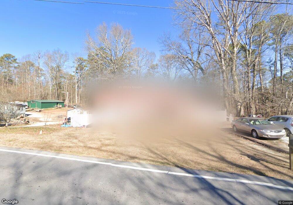
974 Camp Rd Jasper, GA 30143
Estimated Value: $144,000 - $254,000
Studio
1
Bath
1,032
Sq Ft
$174/Sq Ft
Est. Value
About This Home
This home is located at 974 Camp Rd, Jasper, GA 30143 and is currently estimated at $179,629, approximately $174 per square foot. 974 Camp Rd is a home located in Pickens County with nearby schools including Harmony Elementary School, Pickens County Middle School, and Pickens County High School.
Ownership History
Date
Name
Owned For
Owner Type
Purchase Details
Closed on
Jul 15, 2016
Sold by
Paul Richard
Bought by
Daly Paul Richard and Wingo Valerie Jean
Current Estimated Value
Home Financials for this Owner
Home Financials are based on the most recent Mortgage that was taken out on this home.
Original Mortgage
$87,403
Outstanding Balance
$69,116
Interest Rate
3.54%
Mortgage Type
New Conventional
Estimated Equity
$110,513
Purchase Details
Closed on
Nov 17, 2011
Sold by
Wingo Martha
Bought by
Wingo Martha Jean
Purchase Details
Closed on
Jan 1, 1970
Bought by
Wingo James H and Wingo Martha
Create a Home Valuation Report for This Property
The Home Valuation Report is an in-depth analysis detailing your home's value as well as a comparison with similar homes in the area
Home Values in the Area
Average Home Value in this Area
Purchase History
| Date | Buyer | Sale Price | Title Company |
|---|---|---|---|
| Daly Paul Richard | -- | -- | |
| Daly Paul Richard | $80,000 | -- | |
| Wingo Martha Jean | -- | -- | |
| Wingo James H | -- | -- |
Source: Public Records
Mortgage History
| Date | Status | Borrower | Loan Amount |
|---|---|---|---|
| Open | Daly Paul Richard | $87,403 | |
| Closed | Daly Paul Richard | $87,403 |
Source: Public Records
Tax History
| Year | Tax Paid | Tax Assessment Tax Assessment Total Assessment is a certain percentage of the fair market value that is determined by local assessors to be the total taxable value of land and additions on the property. | Land | Improvement |
|---|---|---|---|---|
| 2025 | $630 | $48,977 | $15,154 | $33,823 |
| 2024 | $695 | $40,105 | $6,565 | $33,540 |
| 2023 | $714 | $40,105 | $6,565 | $33,540 |
| 2022 | $506 | $29,889 | $6,565 | $23,324 |
| 2021 | $542 | $29,889 | $6,565 | $23,324 |
| 2020 | $559 | $29,889 | $6,565 | $23,324 |
| 2019 | $571 | $29,889 | $6,565 | $23,324 |
| 2018 | $577 | $29,889 | $6,565 | $23,324 |
| 2017 | $704 | $29,889 | $6,565 | $23,324 |
| 2016 | $340 | $19,211 | $3,200 | $16,011 |
| 2015 | $332 | $19,211 | $3,200 | $16,011 |
| 2014 | $333 | $19,211 | $3,200 | $16,011 |
| 2013 | -- | $19,210 | $3,200 | $16,010 |
Source: Public Records
Map
Nearby Homes
- 232 Happy Trails Way
- 51 Griffith Ave
- 30 Brittany Ct Unit 20
- 450 Griffith Ave
- 275 Beth Ave
- 28 Sandstone Dr
- 0 Hickory Trail Unit 405391
- 0 Hickory Trail Unit 10593185
- 348 Old Tate Rd
- 24 N Rim Dr
- 597 S Main St
- 244 Town Creek Trail
- 190 Towne Villas Dr
- 426 & 334 Old Cove Rd S
- 57 Towne Club Dr
- 426 & 334 Old Cove Rd S
- 8266 Cox Mountain Dr
- 87 Jones St
- 80 Jones St
- 3011 Refuge Rd
