974 Pleasant Grove Rd Ochlocknee, GA 31773
Estimated Value: $96,000 - $200,000
3
Beds
1
Bath
1,286
Sq Ft
$123/Sq Ft
Est. Value
About This Home
This home is located at 974 Pleasant Grove Rd, Ochlocknee, GA 31773 and is currently estimated at $158,157, approximately $122 per square foot. 974 Pleasant Grove Rd is a home with nearby schools including Raev Academy.
Ownership History
Date
Name
Owned For
Owner Type
Purchase Details
Closed on
Sep 3, 2021
Sold by
Brock Bryan Craig Estate
Bought by
Smith Kathy B
Current Estimated Value
Purchase Details
Closed on
Aug 13, 2014
Sold by
Redlands Investments Of Sw
Bought by
Ouzts Caylor L
Purchase Details
Closed on
Aug 16, 2013
Sold by
Ouzts Caylor L
Bought by
Redlands Investment Of Southwe
Purchase Details
Closed on
Jul 16, 2013
Sold by
Smith Kathy B
Bought by
Ouzts Susan R
Purchase Details
Closed on
Jul 15, 2013
Sold by
Smith Kathy B
Bought by
Brock Craig
Purchase Details
Closed on
Jul 31, 2012
Sold by
Ouzts Susan R
Bought by
Brock Craig and Smith Kathy B
Create a Home Valuation Report for This Property
The Home Valuation Report is an in-depth analysis detailing your home's value as well as a comparison with similar homes in the area
Home Values in the Area
Average Home Value in this Area
Purchase History
| Date | Buyer | Sale Price | Title Company |
|---|---|---|---|
| Smith Kathy B | -- | -- | |
| Ouzts Caylor L | $35,680 | -- | |
| Redlands Investment Of Southwe | $44,600 | -- | |
| Ouzts Caylor L | $35,680 | -- | |
| Ouzts Susan R | -- | -- | |
| Smith Kathy B | -- | -- | |
| Brock Craig | $20,000 | -- | |
| Brock Craig | -- | -- | |
| Brock Craig | -- | -- |
Source: Public Records
Tax History Compared to Growth
Tax History
| Year | Tax Paid | Tax Assessment Tax Assessment Total Assessment is a certain percentage of the fair market value that is determined by local assessors to be the total taxable value of land and additions on the property. | Land | Improvement |
|---|---|---|---|---|
| 2024 | $1,428 | $46,405 | $3,802 | $42,603 |
| 2023 | $980 | $31,840 | $2,371 | $29,469 |
| 2022 | $984 | $31,960 | $2,371 | $29,589 |
| 2021 | $987 | $31,960 | $2,371 | $29,589 |
| 2020 | $990 | $31,960 | $2,371 | $29,589 |
| 2019 | $990 | $31,960 | $2,371 | $29,589 |
| 2018 | $930 | $31,960 | $2,371 | $29,589 |
| 2017 | $756 | $31,960 | $2,371 | $29,589 |
| 2016 | $765 | $27,460 | $2,371 | $25,090 |
| 2015 | $756 | $27,460 | $2,371 | $25,090 |
| 2014 | $1,404 | $27,460 | $2,371 | $25,090 |
Source: Public Records
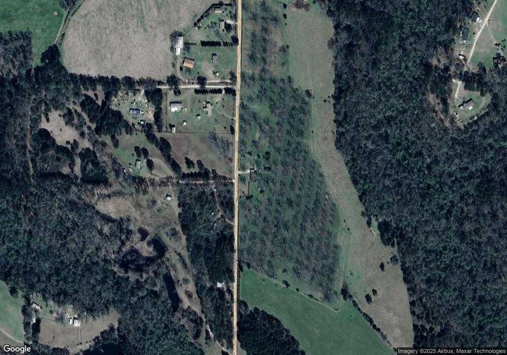
Map
Nearby Homes
- 000 Noles Rd
- 126 Banks Rd
- 963 Pope's Store Rd
- 1016 Richter Rd
- 189 Sabino Dr
- 53 +/- A Bond Rd
- 835 Mill Pond Rd
- 1210 Elkins Rd
- 3136 State Route 188
- 1741 Georgia 112
- 5488 Bulloch Rd
- 158 Woodridge Ln
- 105 Woodridge Ln
- 264 Woodridge Ln
- 2427 Pierce Chapel Rd
- 414 Woodland Rd
- 387 Lakeshore Rd
- 16 Riverwind Trail
- 3028 E Crawford St
- 00 State Route 188
- 1011 Pleasant Grove Rd
- 919 Pleasant Grove Rd
- 883 Pleasant Grove Rd
- 1023 Pleasant Grove Rd
- 1015 Pleasant Grove Rd
- 1015 Pleasant Grove Rd
- 1029 Pleasant Grove Rd
- 1049 Pleasant Grove Rd
- 1011 Pleasant Grove Rd
- 1015 Pleasant Grove Rd
- 1100 Pleasant Grove Rd
- 641 Noles Rd
- 639 Noles Rd
- 623 Noles Rd
- 623 Noles Rd
- 704 Noles Rd
- 260 Enterprise Dr
- 232 Enterprise Dr
- 415 Noles Rd Unit L2
- 168 Enterprise Dr