974 Weaver Rd Bronson, MI 49028
Estimated Value: $188,000 - $251,000
3
Beds
1
Bath
1,418
Sq Ft
$152/Sq Ft
Est. Value
About This Home
This home is located at 974 Weaver Rd, Bronson, MI 49028 and is currently estimated at $216,048, approximately $152 per square foot. 974 Weaver Rd is a home located in Branch County with nearby schools including Ryan Elementary School, Anderson Elementary School, and Bronson Junior/Senior High School.
Ownership History
Date
Name
Owned For
Owner Type
Purchase Details
Closed on
Oct 30, 2018
Sold by
Decker Viola M
Bought by
Cook Michael R and Cook Susan L
Current Estimated Value
Home Financials for this Owner
Home Financials are based on the most recent Mortgage that was taken out on this home.
Original Mortgage
$80,000
Outstanding Balance
$70,055
Interest Rate
4.6%
Mortgage Type
Commercial
Estimated Equity
$145,993
Purchase Details
Closed on
Jun 2, 2003
Bought by
Cook Michael R and Cook Susan L
Purchase Details
Closed on
Jun 12, 1998
Sold by
Cook Victor R
Bought by
Cook Michael R and Cook Susan L
Create a Home Valuation Report for This Property
The Home Valuation Report is an in-depth analysis detailing your home's value as well as a comparison with similar homes in the area
Purchase History
| Date | Buyer | Sale Price | Title Company |
|---|---|---|---|
| Cook Michael R | $75,000 | None Available | |
| Cook Michael R | $100 | -- | |
| Cook Michael R | $100 | -- |
Source: Public Records
Mortgage History
| Date | Status | Borrower | Loan Amount |
|---|---|---|---|
| Open | Cook Michael R | $80,000 |
Source: Public Records
Tax History
| Year | Tax Paid | Tax Assessment Tax Assessment Total Assessment is a certain percentage of the fair market value that is determined by local assessors to be the total taxable value of land and additions on the property. | Land | Improvement |
|---|---|---|---|---|
| 2025 | $1,580 | $107,946 | $0 | $0 |
| 2024 | $6 | $105,660 | $0 | $0 |
| 2023 | $567 | $86,984 | $0 | $0 |
| 2022 | $567 | $77,415 | $0 | $0 |
| 2021 | $775 | $71,394 | $0 | $0 |
| 2020 | $775 | $70,034 | $0 | $0 |
| 2019 | -- | $59,869 | $0 | $0 |
| 2018 | -- | $57,354 | $0 | $0 |
| 2017 | -- | $56,409 | $0 | $0 |
| 2016 | -- | $53,454 | $0 | $0 |
| 2015 | -- | $51,063 | $0 | $0 |
| 2014 | -- | $48,988 | $0 | $0 |
| 2013 | -- | $46,909 | $0 | $0 |
Source: Public Records
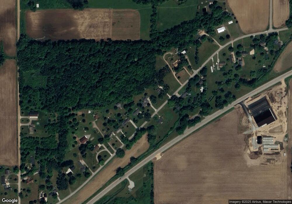
Map
Nearby Homes
- 224 S Ruggles St
- 410 Franklin St
- 220 N Douglas St
- 644 S Matteson St
- 0 Bawden Rd
- 150 Washington St
- 225 N Lincoln St
- 234 N Lincoln St
- 325 N Lincoln St
- 351 Roosevelt St
- 1015 Brink Rd
- 1051 Brink Rd
- 769 Kosmerick Rd
- 317 S Parham Rd
- 130 Osborn Rd
- 230 S 5th St
- 812 George Rd
- 368 Cranson Rd
- 604 W Front St
- 0 Rierson Rd
Your Personal Tour Guide
Ask me questions while you tour the home.