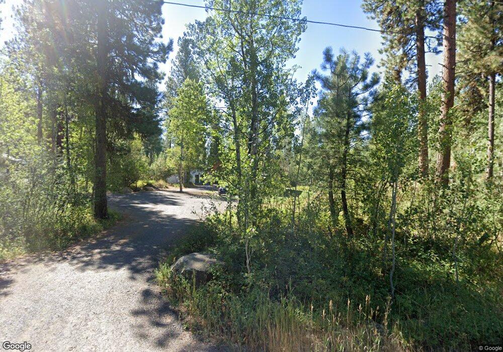
975 Elo Rd McCall, ID 83638
Estimated Value: $794,749 - $1,036,000
3
Beds
2
Baths
2,240
Sq Ft
$420/Sq Ft
Est. Value
About This Home
This home is located at 975 Elo Rd, McCall, ID 83638 and is currently estimated at $939,916, approximately $419 per square foot. 975 Elo Rd is a home with nearby schools including McCall-Donnelly High School, Mountain Life Education, and The North Fork School.
Ownership History
Date
Name
Owned For
Owner Type
Purchase Details
Closed on
Jun 8, 2011
Sold by
Jorgensen Mark N and Jorgensen Diane C
Bought by
Freeman Michael J
Current Estimated Value
Home Financials for this Owner
Home Financials are based on the most recent Mortgage that was taken out on this home.
Original Mortgage
$180,000
Interest Rate
5%
Mortgage Type
Seller Take Back
Create a Home Valuation Report for This Property
The Home Valuation Report is an in-depth analysis detailing your home's value as well as a comparison with similar homes in the area
Purchase History
| Date | Buyer | Sale Price | Title Company |
|---|---|---|---|
| Freeman Michael J | -- | -- |
Source: Public Records
Mortgage History
| Date | Status | Borrower | Loan Amount |
|---|---|---|---|
| Closed | Freeman Michael J | $180,000 |
Source: Public Records
Tax History
| Year | Tax Paid | Tax Assessment Tax Assessment Total Assessment is a certain percentage of the fair market value that is determined by local assessors to be the total taxable value of land and additions on the property. | Land | Improvement |
|---|---|---|---|---|
| 2025 | $1,253 | $653,094 | $222,887 | $430,207 |
| 2023 | $1,253 | $660,838 | $248,660 | $412,178 |
| 2022 | $1,185 | $557,269 | $283,041 | $274,228 |
| 2021 | $1,403 | $329,292 | $100,965 | $228,327 |
| 2020 | $1,399 | $278,040 | $88,955 | $189,085 |
| 2019 | $973 | $274,211 | $87,888 | $186,323 |
| 2018 | $959 | $258,965 | $84,100 | $174,865 |
| 2017 | $1,044 | $255,108 | $86,233 | $168,875 |
| 2016 | $975 | $234,866 | $77,836 | $157,030 |
| 2015 | $497 | $225,833 | $0 | $0 |
| 2013 | -- | $199,699 | $0 | $0 |
Source: Public Records
Map
Nearby Homes
- TBD 2 Elo Rd
- TBD 5 Elo Rd
- TBD S Samson Trail
- 1201 S Samson Trail
- 293 May Rd
- 162 Fox Ln
- 14100 Pioneer Rd
- 503 S Third St
- 649 Brady Dr
- 1510 S Samson Trail
- 413 S 3rd St
- 644 Woodlands Dr
- 14066 Mulberry St
- 14059 Mulberry
- 430 Ringel St
- 14128 Jefferson Rd
- 14199 Franklin Rd
- 34 Compass Ln Unit 8
- TBD Mcbride St
- Lot 19 To Be Determined Unit 19
Your Personal Tour Guide
Ask me questions while you tour the home.
