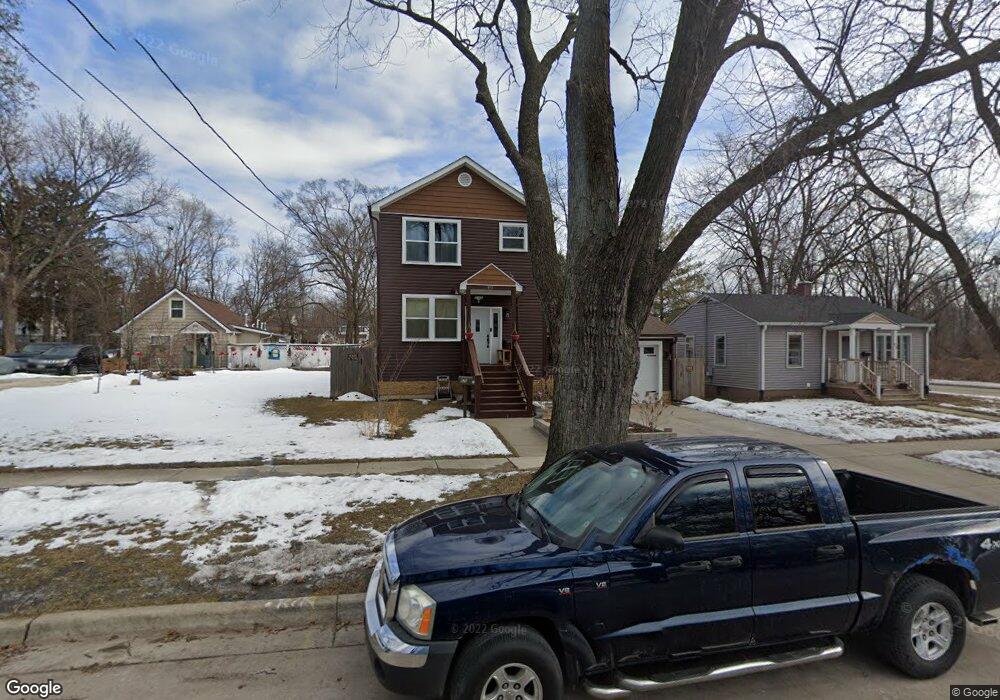
975 Lavoie Ave Elgin, IL 60120
Southeast Elgin NeighborhoodEstimated Value: $257,000 - $290,135
Studio
--
Bath
--
Sq Ft
7,492
Sq Ft Lot Lot
About This Home
This home is located at 975 Lavoie Ave, Elgin, IL 60120 and is currently estimated at $269,284. 975 Lavoie Ave is a home with nearby schools including Nature Ridge Elementary School, Kenyon Woods Middle School, and South Elgin High School.
Ownership History
Date
Name
Owned For
Owner Type
Purchase Details
Closed on
Aug 12, 2016
Sold by
Efrosins Erick J
Bought by
Paz Veronica Dela and Delapaz Diana Ruby
Current Estimated Value
Home Financials for this Owner
Home Financials are based on the most recent Mortgage that was taken out on this home.
Original Mortgage
$161,029
Outstanding Balance
$128,233
Interest Rate
3.42%
Mortgage Type
FHA
Estimated Equity
$141,051
Purchase Details
Closed on
Jul 8, 2013
Sold by
Pflederer David
Bought by
Efrosinis Erik J
Create a Home Valuation Report for This Property
The Home Valuation Report is an in-depth analysis detailing your home's value as well as a comparison with similar homes in the area
Home Values in the Area
Average Home Value in this Area
Purchase History
We collect this data history from publicly available records. To have your information removed, we recommend requesting removal directly through your county’s website.
| Date | Buyer | Sale Price | Title Company |
|---|---|---|---|
| Paz Veronica Dela | $164,000 | Fidelity National Title | |
| Efrosinis Erik J | $9,500 | First American Title |
Source: Public Records
Mortgage History
We collect this data history from publicly available records. To have your information removed, we recommend requesting removal directly through your county’s website.
| Date | Status | Borrower | Loan Amount |
|---|---|---|---|
| Open | Paz Veronica Dela | $161,029 |
Source: Public Records
Tax History
| Year | Tax Paid | Tax Assessment Tax Assessment Total Assessment is a certain percentage of the fair market value that is determined by local assessors to be the total taxable value of land and additions on the property. | Land | Improvement |
|---|---|---|---|---|
| 2024 | $6,538 | $90,478 | $13,102 | $77,376 |
| 2023 | $6,226 | $81,740 | $11,837 | $69,903 |
| 2022 | $5,887 | $74,532 | $10,793 | $63,739 |
| 2021 | $5,628 | $69,082 | $10,091 | $58,991 |
| 2020 | $5,223 | $63,267 | $9,633 | $53,634 |
| 2019 | $5,068 | $60,266 | $9,176 | $51,090 |
| 2018 | $3,679 | $43,210 | $8,644 | $34,566 |
| 2017 | $3,584 | $40,849 | $8,172 | $32,677 |
| 2016 | $2,434 | $22,821 | $7,581 | $15,240 |
| 2015 | -- | $6,949 | $6,949 | $0 |
| 2014 | -- | $6,863 | $6,863 | $0 |
| 2013 | -- | $7,044 | $7,044 | $0 |
Source: Public Records
Map
Nearby Homes
- 711 Bluff City Blvd
- 617 Lavoie Ave
- 555 S Liberty St
- 1701 Deer Pointe Dr
- 515 Illinois Ave
- 1563 Deer Pointe Dr
- 700 Villa St
- 995 Bluff Quarry Dr
- 447 Ashland Ave
- 1182 Concord Dr
- 255 Bartlett Place
- 462 Ashland Ave
- 420 Blue Heron Cir
- 400 Woodview Cir Unit A
- 402 Woodview Cir Unit D
- 483 Barrett St
- 286 Villa St
- 1916 Blue Heron Cir
- 311 Ryerson Ave
- 3 National St Unit 3
- 979 Lavoie Ave
- 973 Lavoie Ave
- 967 Lavoie Ave
- 974 Cookane Ave
- 724 Hammond Ave
- 968 Cookane Ave
- 963 Lavoie Ave
- 980 Lavoie Ave
- 962 Cookane Ave
- 962 Lavoie Ave
- 959 Lavoie Ave
- 958 Cookane Ave
- 960 Lavoie Ave
- 958 Lavoie Ave
- 954 Cookane Ave
- 957 Lavoie Ave
- 956 Lavoie Ave
- 950 Cookane Ave
- 989 Cookane Ave
- 975 Cookane Ave
Your Personal Tour Guide
Ask me questions while you tour the home.