Estimated Value: $491,968 - $545,000
4
Beds
2
Baths
2,061
Sq Ft
$255/Sq Ft
Est. Value
About This Home
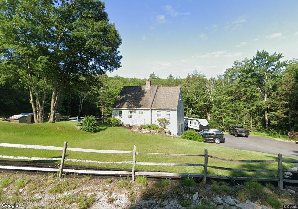
This home is located at 975 River Rd, Weare, NH 03281 and is currently estimated at $524,742, approximately $254 per square foot. 975 River Rd is a home with nearby schools including Center Woods Elementary School, Weare Middle School, and John Stark Regional High School.
Create a Home Valuation Report for This Property
The Home Valuation Report is an in-depth analysis detailing your home's value as well as a comparison with similar homes in the area
Home Values in the Area
Average Home Value in this Area
Tax History
| Year | Tax Paid | Tax Assessment Tax Assessment Total Assessment is a certain percentage of the fair market value that is determined by local assessors to be the total taxable value of land and additions on the property. | Land | Improvement |
|---|---|---|---|---|
| 2025 | $7,596 | $351,000 | $116,900 | $234,100 |
| 2024 | $7,157 | $351,000 | $116,900 | $234,100 |
| 2023 | $6,613 | $351,000 | $116,900 | $234,100 |
| 2022 | $6,107 | $351,000 | $116,900 | $234,100 |
| 2021 | $6,037 | $351,000 | $116,900 | $234,100 |
| 2020 | $5,865 | $244,900 | $82,200 | $162,700 |
| 2019 | $5,807 | $244,900 | $82,200 | $162,700 |
| 2018 | $5,640 | $244,900 | $82,200 | $162,700 |
| 2016 | $5,478 | $244,900 | $82,200 | $162,700 |
| 2015 | $5,452 | $243,300 | $82,100 | $161,200 |
| 2014 | $5,404 | $243,300 | $82,100 | $161,200 |
| 2013 | $5,292 | $243,300 | $82,100 | $161,200 |
Source: Public Records
Map
Nearby Homes
- 849 River Rd
- 0 Huntington Hill Rd Unit 69
- 96 Bart Clough Rd
- 69 Peaslee Hill Rd
- 131 Cross Rd
- 1583 River Rd
- 0 Eastman Way
- 0 Als Dr Unit 196
- 31 Barnard Hill Rd
- 15 Robert Rogers Rd
- 42 Rockland Rd
- 624 S Stark Hwy
- 733 S Stark Hwy
- 30 Fox Hollow Dr
- 40 N Woods Rd
- 732 Concord Stage Rd Unit 7
- 103 Renshaw Rd
- 174 S Stark Hwy Unit 1
- 174 S Stark Hwy Unit 23
- 25 Mount Dearborn Rd
Your Personal Tour Guide
Ask me questions while you tour the home.