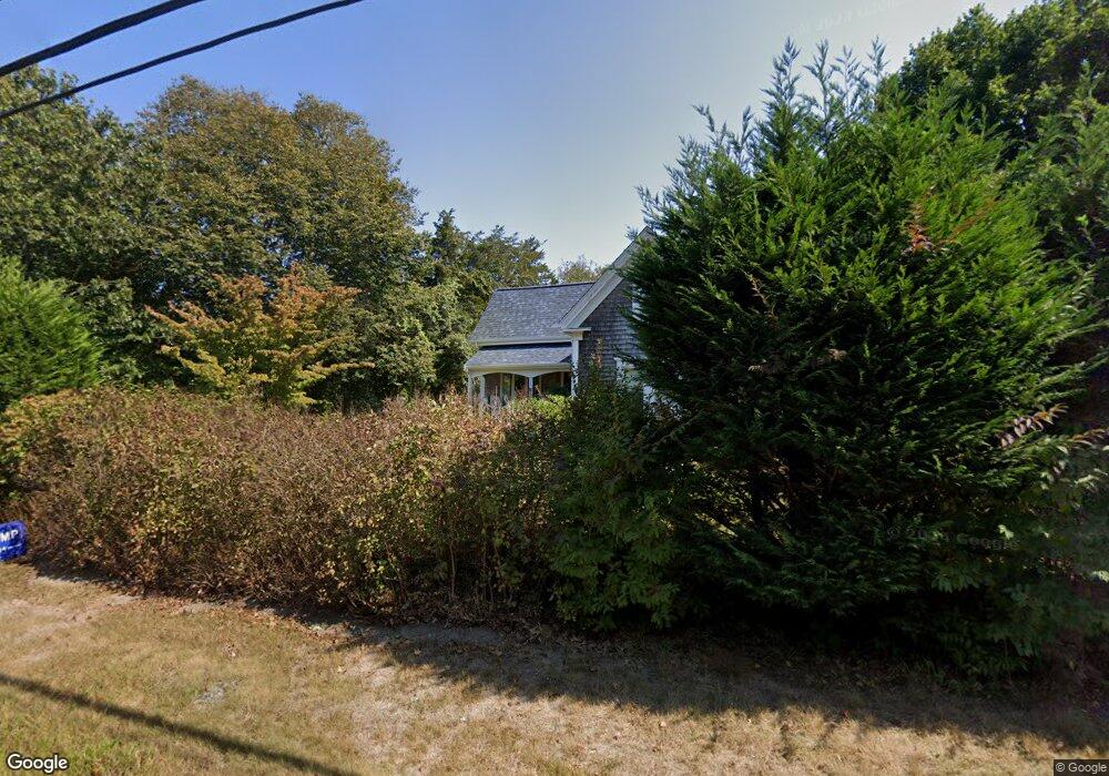
976 Cotuit Rd Marstons Mills, MA 02648
Marstons Mills NeighborhoodEstimated Value: $276,000 - $509,668
Studio
--
Bath
--
Sq Ft
193,406
Sq Ft Lot
About This Home
This home is located at 976 Cotuit Rd, Marstons Mills, MA 02648 and is currently estimated at $392,889. 976 Cotuit Rd is a home located in Barnstable County with nearby schools including West Villages Elementary School, Barnstable United Elementary School, and Barnstable Intermediate School.
Ownership History
Date
Name
Owned For
Owner Type
Purchase Details
Closed on
Nov 26, 2014
Sold by
Thew Edward A and Thew Alberta J
Bought by
Thew Cindy M
Current Estimated Value
Purchase Details
Closed on
Nov 1, 2010
Sold by
Thew Edward A and Thew Alberta J
Bought by
Thew Edward A and Thew Alberta J
Purchase Details
Closed on
May 16, 2007
Sold by
Thew Edward A
Bought by
Thew Alberta J and Thew Cindy Marie
Purchase Details
Closed on
May 19, 1994
Sold by
Savage Russell W and Savage Madeleine A
Bought by
Thew Edward A
Home Financials for this Owner
Home Financials are based on the most recent Mortgage that was taken out on this home.
Original Mortgage
$100,000
Interest Rate
7.93%
Create a Home Valuation Report for This Property
The Home Valuation Report is an in-depth analysis detailing your home's value as well as a comparison with similar homes in the area
Home Values in the Area
Average Home Value in this Area
Purchase History
| Date | Buyer | Sale Price | Title Company |
|---|---|---|---|
| Thew Cindy M | -- | -- | |
| Thew Edward A | -- | -- | |
| Thew Alberta J | -- | -- | |
| Thew Edward A | $125,000 | -- |
Source: Public Records
Mortgage History
| Date | Status | Borrower | Loan Amount |
|---|---|---|---|
| Previous Owner | Thew Edward A | $100,000 |
Source: Public Records
Tax History
| Year | Tax Paid | Tax Assessment Tax Assessment Total Assessment is a certain percentage of the fair market value that is determined by local assessors to be the total taxable value of land and additions on the property. | Land | Improvement |
|---|---|---|---|---|
| 2025 | $1,823 | $225,300 | $225,300 | $0 |
| 2024 | $1,760 | $225,300 | $225,300 | $0 |
| 2023 | $1,746 | $209,300 | $209,300 | $0 |
| 2022 | $1,618 | $167,800 | $167,800 | $0 |
| 2021 | $1,760 | $167,800 | $167,800 | $0 |
| 2020 | $1,534 | $140,000 | $140,000 | $0 |
| 2019 | $1,579 | $140,000 | $140,000 | $0 |
| 2018 | $1,609 | $147,300 | $147,300 | $0 |
| 2017 | $1,585 | $147,300 | $147,300 | $0 |
| 2016 | $1,606 | $147,300 | $147,300 | $0 |
| 2015 | $1,621 | $149,400 | $149,400 | $0 |
Source: Public Records
Map
Nearby Homes
- 32 Willington Ave
- 192 Sandy Valley Rd
- 80 Branch Terrace
- 23 Middle Pond Path
- 84 White Birch Way
- 1028 Old Falmouth Rd
- 7 Ebenezer
- 87 Foxglove Rd
- 318 Old Mill Rd
- 74 Saddler Ln
- 68 Hilltop Dr
- 152 Wakeby Rd
- 315 Prince Hinckley Rd
- 900 Old Stage Rd
- 62 Three Ponds Dr
- 315 Blackthorn Rd
- 6 George Gallant Rd
- 16 Newtown Rd
- 324 Patriot Way
- 296 Buckskin Path
- 48 Lakeside Dr
- 38 Lakeside Dr
- 41 Knowlton Ln
- 130 Raspberry Ln
- 80 Lakeside Dr
- 26 Lakeside Dr
- 41 Lakeside Dr
- 25 Knowlton Ln
- 129 Blueberry Ln
- 134 Gooseberry Ln
- 79 Lakeside Dr
- 982 Cotuit Rd
- 120 Raspberry Ln
- 90 Lakeside Dr
- 102 Roseland Terrace
- 16 Lakeside Dr
- 119 Raspberry Ln
- 89 Lakeside Dr
- 124 Gooseberry Ln
- 40 Knowlton Ln
Your Personal Tour Guide
Ask me questions while you tour the home.