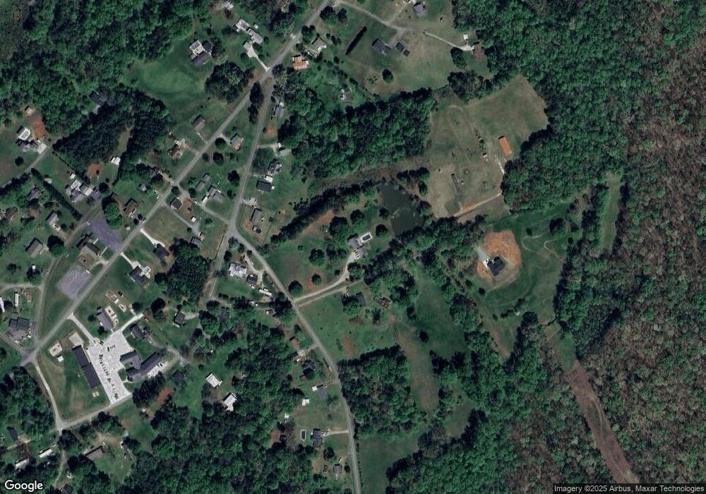
976 Hoffman Rd Lincolnton, NC 28092
Estimated Value: $431,000 - $533,881
3
Beds
2
Baths
2,536
Sq Ft
$190/Sq Ft
Est. Value
About This Home
This home is located at 976 Hoffman Rd, Lincolnton, NC 28092 and is currently estimated at $480,720, approximately $189 per square foot. 976 Hoffman Rd is a home located in Lincoln County with nearby schools including Love Memorial Elementary School, West Lincoln Middle, and West Lincoln High School.
Ownership History
Date
Name
Owned For
Owner Type
Purchase Details
Closed on
Apr 17, 2024
Sold by
Kimberly Denise Frye Irrevocable Trust and Todd Wulfhorst D
Bought by
Blair Charlotte A
Current Estimated Value
Purchase Details
Closed on
Aug 19, 1993
Bought by
Branch Banking & Trust Co Trustee Kimber
Purchase Details
Closed on
Jan 19, 1993
Sold by
Kimberly Denise Frye Irrevocable Trust
Bought by
Kimberly Denise Frye Irrevocable Trust
Create a Home Valuation Report for This Property
The Home Valuation Report is an in-depth analysis detailing your home's value as well as a comparison with similar homes in the area
Home Values in the Area
Average Home Value in this Area
Purchase History
| Date | Buyer | Sale Price | Title Company |
|---|---|---|---|
| Blair Charlotte A | -- | None Listed On Document | |
| Blair Charlotte A | -- | None Listed On Document | |
| Branch Banking & Trust Co Trustee Kimber | $125,000 | -- | |
| Kimberly Denise Frye Irrevocable Trust | -- | None Listed On Document |
Source: Public Records
Tax History Compared to Growth
Tax History
| Year | Tax Paid | Tax Assessment Tax Assessment Total Assessment is a certain percentage of the fair market value that is determined by local assessors to be the total taxable value of land and additions on the property. | Land | Improvement |
|---|---|---|---|---|
| 2025 | $2,923 | $446,032 | $71,503 | $374,529 |
| 2024 | $2,903 | $446,032 | $71,503 | $374,529 |
| 2023 | $2,898 | $446,032 | $71,503 | $374,529 |
| 2022 | $2,131 | $270,910 | $51,176 | $219,734 |
| 2021 | $2,135 | $271,514 | $51,780 | $219,734 |
| 2020 | $1,966 | $271,514 | $51,780 | $219,734 |
| 2019 | $1,966 | $271,514 | $51,780 | $219,734 |
| 2018 | $1,836 | $235,778 | $43,477 | $192,301 |
| 2017 | $1,735 | $235,778 | $43,477 | $192,301 |
| 2016 | $1,735 | $235,778 | $43,477 | $192,301 |
| 2015 | $1,787 | $235,778 | $43,477 | $192,301 |
| 2014 | $1,724 | $238,277 | $45,976 | $192,301 |
Source: Public Records
Map
Nearby Homes
- 2913 & 2901 Wesleyan Church Rd
- 2988 Wesleyan Church Rd
- 2641 Southside Rd
- 3156 Long Shoals Rd
- 155 Golden Aster Dr
- 3076 Gates Rd
- 2503 Tin Mine Rd
- 511 Colorado Trail
- 2319 Tin Mine Rd
- 864 Calloway Rd
- TBD Southfork Rd
- 170 Whitesides Dr
- 2452 Salem Church Rd
- 000 Southside Rd
- 00 High Shoals Rd
- 141 Rash Rd
- 1509 Autumn Banks Way Unit 74p
- 1512 Autumn Banks Way
- 1512 Autumn Banks Way Unit 113
- 1410 Autumn Colors Ln Unit 106p
- 958 Hoffman Rd
- 4.56 acres Wesleyan Church Rd
- 4.56 Wesleyan Church Rd
- 967 Hoffman Rd
- 951 Hoffman Rd
- 2901 Wesleyan Church Rd
- 999 Hoffman Rd
- 945 Hoffman Rd
- 2887 Wesleyan Church Rd
- 2979 Wesleyan Church Rd
- 2939 Lakeside Ln
- 929 Hoffman Rd
- 2899 Long Shoals Rd
- 2947 Long Shoals Rd
- 2957 Long Shoals Rd
- 970 Hoffman Rd
- 00 Hoffman Rd Unit Parcel 2
- 2871 Wesleyan Church Rd
- 2975 Long Shoals Rd
- 905 Hoffman Rd
