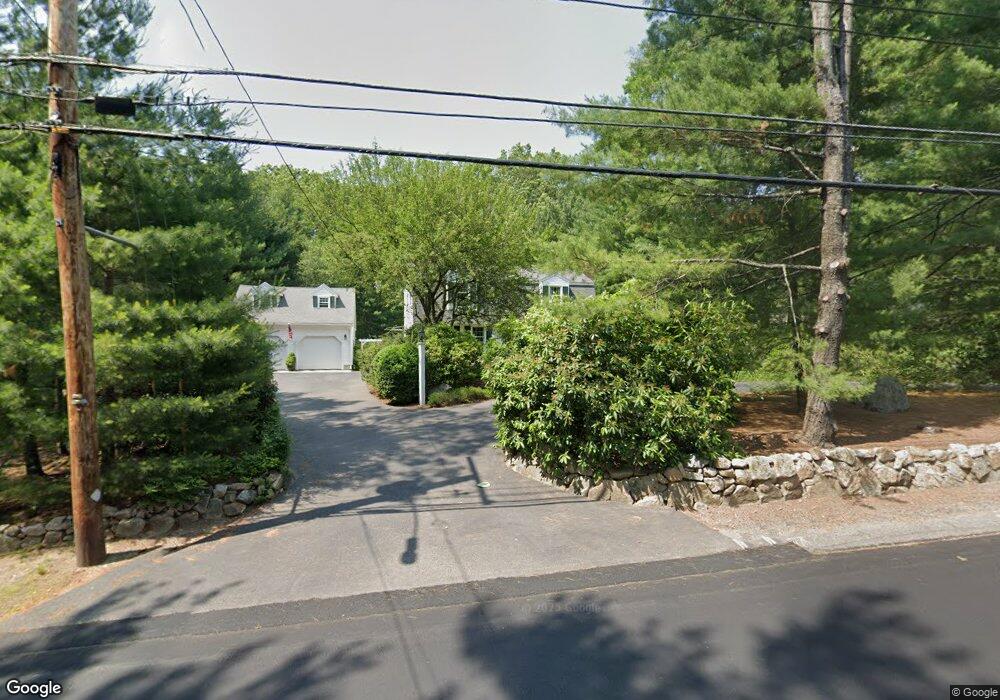
976 Maple St Mansfield, MA 02048
Estimated Value: $684,095 - $827,000
3
Beds
2
Baths
1,687
Sq Ft
$446/Sq Ft
Est. Value
About This Home
This home is located at 976 Maple St, Mansfield, MA 02048 and is currently estimated at $752,274, approximately $445 per square foot. 976 Maple St is a home located in Bristol County with nearby schools including Jordan/Jackson Elementary School, Everett W. Robinson Elementary School, and Harold L. Qualters Middle School.
Create a Home Valuation Report for This Property
The Home Valuation Report is an in-depth analysis detailing your home's value as well as a comparison with similar homes in the area
Home Values in the Area
Average Home Value in this Area
Tax History
| Year | Tax Paid | Tax Assessment Tax Assessment Total Assessment is a certain percentage of the fair market value that is determined by local assessors to be the total taxable value of land and additions on the property. | Land | Improvement |
|---|---|---|---|---|
| 2025 | $7,578 | $575,400 | $241,900 | $333,500 |
| 2024 | $7,389 | $547,300 | $241,900 | $305,400 |
| 2023 | $7,201 | $511,100 | $241,900 | $269,200 |
| 2022 | $6,913 | $455,700 | $223,900 | $231,800 |
| 2021 | $4,488 | $438,500 | $196,000 | $242,500 |
| 2020 | $6,497 | $423,000 | $186,700 | $236,300 |
| 2019 | $3,158 | $393,800 | $155,500 | $238,300 |
| 2018 | $3,299 | $382,500 | $148,300 | $234,200 |
| 2017 | $3,323 | $372,100 | $144,100 | $228,000 |
| 2016 | $5,373 | $348,700 | $137,200 | $211,500 |
| 2015 | $5,244 | $338,300 | $137,200 | $201,100 |
Source: Public Records
Map
Nearby Homes
- 26 Fredric Ln
- 260 Massapoag Ave
- 148 Stearns Ave
- 4 Erick Rd Unit 90
- 261 East St
- 251 Poquanticut Ave
- 34 Kevins Way
- 26 Kathleen Grant Rd
- 15 Coach Rd
- 45 Kingsbrook Way
- 6 Kingsley Rd
- 157 Highland St
- 212 Mill St
- 9 Independence Dr Unit 9
- 46 Hope St
- 132 Cannon Forge Dr
- 619 N Main St
- 4 Concetta Cir
- 81 Chilson Ave
- 25 Kingman Ave
Your Personal Tour Guide
Ask me questions while you tour the home.