Estimated Value: $330,420 - $690,000
--
Bed
--
Bath
2,282
Sq Ft
$224/Sq Ft
Est. Value
About This Home
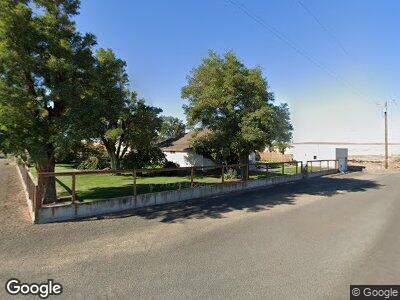
This home is located at 97642 Emigrant Spring Ln, Wasco, OR 97065 and is currently estimated at $510,210, approximately $223 per square foot. 97642 Emigrant Spring Ln is a home with nearby schools including Sherman County School.
Ownership History
Date
Name
Owned For
Owner Type
Purchase Details
Closed on
Dec 15, 2021
Sold by
Delta M Johnson Trust
Bought by
Gray Brett and Gray Trena
Current Estimated Value
Purchase Details
Closed on
Mar 17, 2006
Sold by
Gray Brett L and Gray Trena
Bought by
Gray Brett L and Gray Trena D
Home Financials for this Owner
Home Financials are based on the most recent Mortgage that was taken out on this home.
Original Mortgage
$70,000
Interest Rate
6.25%
Mortgage Type
New Conventional
Create a Home Valuation Report for This Property
The Home Valuation Report is an in-depth analysis detailing your home's value as well as a comparison with similar homes in the area
Home Values in the Area
Average Home Value in this Area
Purchase History
| Date | Buyer | Sale Price | Title Company |
|---|---|---|---|
| Gray Brett | -- | New Title Company Name | |
| Gray Brett L | -- | Amerititle |
Source: Public Records
Mortgage History
| Date | Status | Borrower | Loan Amount |
|---|---|---|---|
| Previous Owner | Gray Brett L | $56,045 | |
| Previous Owner | Gray Brett L | $70,000 |
Source: Public Records
Tax History Compared to Growth
Tax History
| Year | Tax Paid | Tax Assessment Tax Assessment Total Assessment is a certain percentage of the fair market value that is determined by local assessors to be the total taxable value of land and additions on the property. | Land | Improvement |
|---|---|---|---|---|
| 2024 | $1,946 | $123,668 | -- | -- |
| 2023 | $1,889 | $120,067 | $0 | $0 |
| 2022 | $1,779 | $116,576 | $0 | $0 |
| 2021 | $1,728 | $113,187 | $0 | $0 |
| 2020 | $1,729 | $109,899 | $10,519 | $99,380 |
| 2019 | $1,689 | $107,340 | $0 | $0 |
| 2018 | $1,938 | $104,230 | $0 | $0 |
| 2017 | $1,825 | $101,200 | $0 | $0 |
| 2016 | $1,793 | $98,260 | $0 | $0 |
| 2015 | -- | $95,420 | $0 | $0 |
| 2014 | -- | $92,650 | $0 | $0 |
| 2013 | -- | $90,000 | $0 | $0 |
| 2011 | $1,617 | $84,890 | $0 | $0 |
Source: Public Records
Map
Nearby Homes
- 420 Asher St
- 608 Mcpherson St
- 816 Columbia St
- 903 Davis St
- 1013 Clark St
- 1009 Clark St
- 600 Barnett St
- 504 5th St
- 406 W First St
- 950 Hoctor Rd
- 100 Grace Way
- 91660 Biggs Rufus Hwy
- 400 Mccoy St
- 91249 Biggs Rufus Hwy
- 507 Main St
- 301 2nd St
- 91504 Biggs Rufus Hwy
- 0 U S 97 Unit 21627024
- 0 Biggs-Rufus Hwy Unit 23512105
- 105 Main St