9767 205th St E Hastings, MN 55033
Hastings-Marshan Township NeighborhoodEstimated Value: $587,000 - $761,000
3
Beds
3
Baths
2,280
Sq Ft
$296/Sq Ft
Est. Value
About This Home
This home is located at 9767 205th St E, Hastings, MN 55033 and is currently estimated at $675,277, approximately $296 per square foot. 9767 205th St E is a home located in Dakota County with nearby schools including Pinecrest Elementary School, Hastings Middle School, and Hastings High School.
Ownership History
Date
Name
Owned For
Owner Type
Purchase Details
Closed on
Jun 27, 2016
Sold by
Bauer Eric J and Bauer Amber L
Bought by
Bauer Eric J and Bauer Amber L
Current Estimated Value
Home Financials for this Owner
Home Financials are based on the most recent Mortgage that was taken out on this home.
Original Mortgage
$253,250
Interest Rate
3.64%
Mortgage Type
New Conventional
Create a Home Valuation Report for This Property
The Home Valuation Report is an in-depth analysis detailing your home's value as well as a comparison with similar homes in the area
Home Values in the Area
Average Home Value in this Area
Purchase History
| Date | Buyer | Sale Price | Title Company |
|---|---|---|---|
| Bauer Eric J | -- | Executive Title |
Source: Public Records
Mortgage History
| Date | Status | Borrower | Loan Amount |
|---|---|---|---|
| Closed | Bauer Eric J | $253,250 |
Source: Public Records
Tax History Compared to Growth
Tax History
| Year | Tax Paid | Tax Assessment Tax Assessment Total Assessment is a certain percentage of the fair market value that is determined by local assessors to be the total taxable value of land and additions on the property. | Land | Improvement |
|---|---|---|---|---|
| 2024 | $4,274 | $629,400 | $91,500 | $537,900 |
| 2023 | $4,274 | $589,200 | $86,500 | $502,700 |
| 2022 | $3,616 | $510,400 | $85,300 | $425,100 |
| 2021 | $3,976 | $452,800 | $75,000 | $377,800 |
| 2020 | $3,704 | $483,100 | $75,000 | $408,100 |
| 2019 | $3,640 | $416,500 | $71,500 | $345,000 |
| 2018 | $3,809 | $408,100 | $64,500 | $343,600 |
| 2017 | $3,750 | $404,100 | $61,400 | $342,700 |
| 2016 | $2,989 | $402,500 | $61,400 | $341,100 |
| 2015 | $2,813 | $323,005 | $57,760 | $265,245 |
| 2014 | -- | $301,532 | $55,203 | $246,329 |
| 2013 | -- | $256,951 | $49,029 | $207,922 |
Source: Public Records
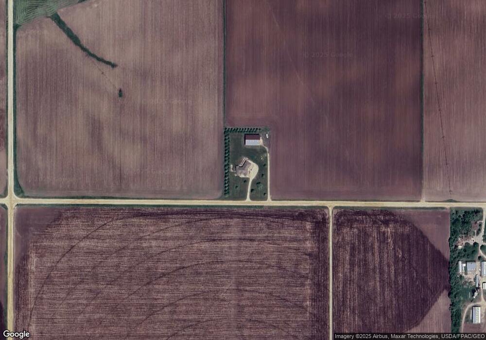
Map
Nearby Homes
- 18135 Lillehei Ave
- 8550 238th St E
- 753 Greten Ln
- TBD 250thn St E
- 1780 River Shore Dr
- 2685 Woodcliffe Trail
- 1634 River Shore Dr
- 1595 River Shore Dr
- 313 Frederick Cir Unit 106
- 1730 River Shore Dr
- 1765 Brandlewood Ct
- 456 Hayes Dr Unit 59
- 1757 Brandlewood Ct
- 664 35th St W
- 1797 Cobblestone Ct
- 531 Tiffany Dr
- 1796 Cobblestone Ct
- 2270 Old Bridge Ln
- 1821 Fallbrooke Dr
- 3575 Vermillion St
- 10024 205th St E
- 10145 205th St E
- 20059 Lewiston Blvd
- 9854 205th St E
- 20300 Lewiston Blvd
- 10411 205th St E
- 9200 205th St E
- 9155 205th St E
- 10325 205th St E
- 19826 Lewiston Blvd
- 20911 Joan Ave
- 9470 205th St E
- 10150 205th St E
- 19895 Inga Ave
- 19892 Inga Ave
- 9010 205th St E
- 20385 Lewiston Blvd
- 20536 Joan Ave
- 8990 205th St E
- 21229 Inga Ave