977 Buffalo Way Unit 26 Sparks, NV 89431
Downtown Sparks NeighborhoodEstimated Value: $233,000 - $262,000
2
Beds
2
Baths
1,080
Sq Ft
$228/Sq Ft
Est. Value
About This Home
This home is located at 977 Buffalo Way Unit 26, Sparks, NV 89431 and is currently estimated at $245,889, approximately $227 per square foot. 977 Buffalo Way Unit 26 is a home located in Washoe County with nearby schools including Kate M Smith Elementary School, Sparks Middle School, and Sparks High School.
Ownership History
Date
Name
Owned For
Owner Type
Purchase Details
Closed on
Apr 12, 2006
Sold by
Threadgill Kenneth R and Threadgill Judith L
Bought by
Threadgill Kenneth R and Threadgill Judith L
Current Estimated Value
Purchase Details
Closed on
Oct 23, 2001
Sold by
Bolz Ben and Bolz Velda
Bought by
Threadgill Kenneth R and Threadgill Judith L
Home Financials for this Owner
Home Financials are based on the most recent Mortgage that was taken out on this home.
Original Mortgage
$59,600
Outstanding Balance
$23,295
Interest Rate
6.87%
Estimated Equity
$222,594
Create a Home Valuation Report for This Property
The Home Valuation Report is an in-depth analysis detailing your home's value as well as a comparison with similar homes in the area
Home Values in the Area
Average Home Value in this Area
Purchase History
| Date | Buyer | Sale Price | Title Company |
|---|---|---|---|
| Threadgill Kenneth R | -- | None Available | |
| Threadgill Kenneth R | $74,500 | Founders Title Co |
Source: Public Records
Mortgage History
| Date | Status | Borrower | Loan Amount |
|---|---|---|---|
| Open | Threadgill Kenneth R | $59,600 |
Source: Public Records
Tax History Compared to Growth
Tax History
| Year | Tax Paid | Tax Assessment Tax Assessment Total Assessment is a certain percentage of the fair market value that is determined by local assessors to be the total taxable value of land and additions on the property. | Land | Improvement |
|---|---|---|---|---|
| 2025 | $550 | $38,287 | $22,960 | $15,327 |
| 2024 | $550 | $37,911 | $21,630 | $16,281 |
| 2023 | $535 | $35,076 | $20,195 | $14,881 |
| 2022 | $520 | $27,977 | $15,015 | $12,962 |
| 2021 | $505 | $23,643 | $10,325 | $13,318 |
| 2020 | $488 | $24,903 | $11,235 | $13,668 |
| 2019 | $474 | $23,955 | $10,465 | $13,490 |
| 2018 | $462 | $20,512 | $7,070 | $13,442 |
| 2017 | $448 | $20,334 | $6,860 | $13,474 |
| 2016 | $436 | $18,346 | $4,270 | $14,076 |
| 2015 | $436 | $18,053 | $3,675 | $14,378 |
| 2014 | $423 | $13,263 | $2,205 | $11,058 |
| 2013 | -- | $13,285 | $2,065 | $11,220 |
Source: Public Records
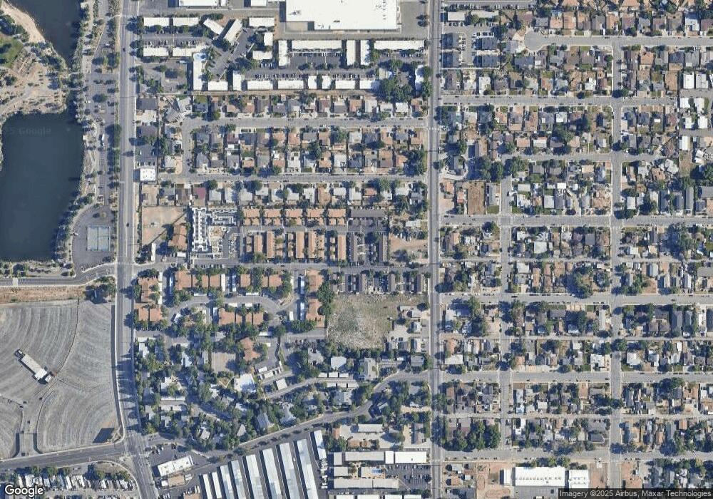
Map
Nearby Homes
- 969 Buffalo Way
- 985 Buffalo Way
- 961 Buffalo Way
- 991 Buffalo Way Unit 28
- 953 Buffalo Way
- 980 Flatcar Ln
- 964 Flatcar Ln
- 958 Flatcar Ln
- 988 Flatcar Ln
- 950 Flatcar Ln
- 968 Buffalo Way
- 984 Buffalo Way
- 984 Buffalo Way Unit 21
- 976 Buffalo Way
- 960 Buffalo Way
- 992 Buffalo Way
- 952 Buffalo Way
- 2144 Cannonball Rd
- 2161 Greyhaven Ln
- 2142 Cannonball Rd Unit 34