977 Mitchell Point Rd Mineral, VA 23117
Estimated Value: $535,889 - $652,000
3
Beds
3
Baths
3,696
Sq Ft
$159/Sq Ft
Est. Value
About This Home
This home is located at 977 Mitchell Point Rd, Mineral, VA 23117 and is currently estimated at $588,972, approximately $159 per square foot. 977 Mitchell Point Rd is a home located in Louisa County with nearby schools including Thomas Jefferson Elementary School, Louisa County Middle School, and Louisa County High School.
Ownership History
Date
Name
Owned For
Owner Type
Purchase Details
Closed on
May 11, 2011
Sold by
Simpson William H and Simpson Ethel F
Bought by
Perry Ann E
Current Estimated Value
Home Financials for this Owner
Home Financials are based on the most recent Mortgage that was taken out on this home.
Original Mortgage
$209,930
Outstanding Balance
$12,348
Interest Rate
4.14%
Mortgage Type
New Conventional
Estimated Equity
$576,624
Create a Home Valuation Report for This Property
The Home Valuation Report is an in-depth analysis detailing your home's value as well as a comparison with similar homes in the area
Home Values in the Area
Average Home Value in this Area
Purchase History
| Date | Buyer | Sale Price | Title Company |
|---|---|---|---|
| Perry Ann E | $299,900 | Fidelity Natl Title Ins Co |
Source: Public Records
Mortgage History
| Date | Status | Borrower | Loan Amount |
|---|---|---|---|
| Open | Perry Ann E | $209,930 |
Source: Public Records
Tax History Compared to Growth
Tax History
| Year | Tax Paid | Tax Assessment Tax Assessment Total Assessment is a certain percentage of the fair market value that is determined by local assessors to be the total taxable value of land and additions on the property. | Land | Improvement |
|---|---|---|---|---|
| 2024 | $3,321 | $461,300 | $76,900 | $384,400 |
| 2023 | $3,125 | $456,900 | $64,900 | $392,000 |
| 2022 | $3,085 | $428,500 | $56,900 | $371,600 |
| 2021 | $2,233 | $377,200 | $56,900 | $320,300 |
| 2020 | $2,753 | $382,400 | $56,900 | $325,500 |
| 2019 | $2,664 | $370,000 | $56,900 | $313,100 |
| 2018 | $2,594 | $360,300 | $56,900 | $303,400 |
| 2017 | $2,596 | $357,400 | $56,900 | $300,500 |
| 2016 | $2,596 | $360,600 | $56,900 | $303,700 |
| 2015 | $2,519 | $349,900 | $59,300 | $290,600 |
| 2013 | -- | $312,600 | $62,500 | $250,100 |
Source: Public Records
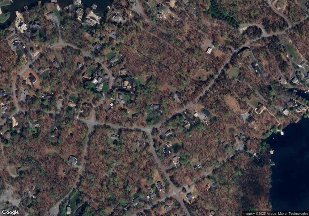
Map
Nearby Homes
- Lot 17 Mary Wayne Ln
- Lot 72 Madeline Ln
- 40 Grandview Dr
- 0 (Lot 5) New Bridge Rd
- Lot 11 Park Run
- Lot 28 Turkey Trail
- 41 Lakeshore Ln
- 315 Lakewood Cir
- Lot 7 Pinewood Dr
- Lot 76 Centerville Rd
- TBD Tall Pines Dr
- 115 Forest Ln
- 0 Laurelwood Dr Unit VALA2008522
- 60 Laurelwood Dr
- 219 Oakwood Dr
- 184 Anna Coves Blvd
- Lot 2 & 6 New Bridge Rd
- 373 Hemlock Ln
- 358 Hemlock Ln
- 5 Hunt Haven
- 0 Edgewood Dr Unit 1000545115
- 0 Edgewood Dr Unit 1007076894
- 0 Edgewood Dr Unit 1004273349
- 0 Edgewood Dr
- 0 Edgewood Dr Unit VALA2000058
- 0 Edgewood Dr Unit VALA2005296
- 0 Edgewood Dr Unit VALA122610
- 0 Edgewood Dr Unit VALA119354
- 0 Edgewood Dr Unit 1009620948
- 919 Mitchell Point Rd
- 976 Mitchell Point Rd
- 1041 Mitchell Point Rd
- 20 Edgewood Dr
- 1022 Mitchell Point Rd
- 309 Bernie Cir
- 333 Bernie Cir
- 49 Edgewood Dr
- 363 Bernie Cir
- 1048 Mitchell Point Rd
- 291 Bernie Cir