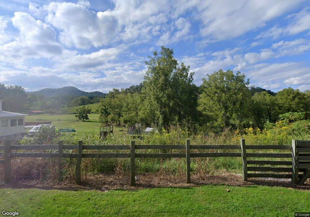
977 Newfound Rd Leicester, NC 28748
Estimated Value: $452,083 - $705,000
3
Beds
2
Baths
2,244
Sq Ft
$263/Sq Ft
Est. Value
About This Home
This home is located at 977 Newfound Rd, Leicester, NC 28748 and is currently estimated at $589,271, approximately $262 per square foot. 977 Newfound Rd is a home located in Buncombe County with nearby schools including Leicester Elementary School, Clyde A. Erwin High School, and Clyde A. Erwin Middle School.
Ownership History
Date
Name
Owned For
Owner Type
Purchase Details
Closed on
Sep 9, 2013
Sold by
Brown Barbara B
Bought by
Davis Jordan P and Davis Lacey G
Current Estimated Value
Home Financials for this Owner
Home Financials are based on the most recent Mortgage that was taken out on this home.
Original Mortgage
$50,000
Outstanding Balance
$12,785
Interest Rate
4.39%
Mortgage Type
Purchase Money Mortgage
Estimated Equity
$576,486
Purchase Details
Closed on
Jul 27, 2010
Sold by
Best Brown Barbara and Brown Wayne H
Bought by
Brown Wayne H
Create a Home Valuation Report for This Property
The Home Valuation Report is an in-depth analysis detailing your home's value as well as a comparison with similar homes in the area
Home Values in the Area
Average Home Value in this Area
Purchase History
| Date | Buyer | Sale Price | Title Company |
|---|---|---|---|
| Davis Jordan P | $50,000 | None Available | |
| Brown Wayne H | -- | None Available |
Source: Public Records
Mortgage History
| Date | Status | Borrower | Loan Amount |
|---|---|---|---|
| Open | Davis Jordan P | $50,000 |
Source: Public Records
Tax History Compared to Growth
Tax History
| Year | Tax Paid | Tax Assessment Tax Assessment Total Assessment is a certain percentage of the fair market value that is determined by local assessors to be the total taxable value of land and additions on the property. | Land | Improvement |
|---|---|---|---|---|
| 2025 | $1,639 | $249,100 | $18,700 | $230,400 |
| 2024 | $1,639 | $249,100 | $33,700 | $215,400 |
| 2023 | $1,639 | $249,100 | $33,700 | $215,400 |
| 2022 | $1,565 | $249,100 | $33,700 | $215,400 |
| 2021 | $1,565 | $249,100 | $0 | $0 |
| 2020 | $1,456 | $217,600 | $0 | $0 |
| 2019 | $1,456 | $217,600 | $0 | $0 |
| 2018 | $1,456 | $217,600 | $0 | $0 |
| 2017 | $1,478 | $166,800 | $0 | $0 |
| 2016 | $1,241 | $166,800 | $0 | $0 |
| 2015 | $1,241 | $166,800 | $0 | $0 |
| 2014 | $1,191 | $166,800 | $0 | $0 |
Source: Public Records
Map
Nearby Homes
- 61 Brooks Branch Rd
- 36 Brooks Branch Rd
- 111 Oak Mountain Dr
- 9 Oak Mountain Dr
- 19 Mossy Rock Ln Unit 76
- 206 View Ridge Pkwy
- 185 Blossom Ridge
- 25 View Ridge Pkwy
- 171 View Ridge Pkwy
- 127 View Ridge Pkwy
- 11 Farm Cove Ln
- 5 Rustic Ridge Dr
- 263 Morgan Branch Rd
- 117 Tomato Town Rd
- 342 Hookers Gap Rd
- 99999 Hookers Gap Rd
- 58 Grooms Rd
- 315 Morgan Branch Rd
- 10 Slate Dr
- 00 Potato Branch Rd
- 982 Newfound Rd
- 959 Newfound Rd
- 17 Saddlebrook Ln
- 1012 Newfound Rd
- 27 Winn Dr
- 3 High Ridge Rd
- 933 Newfound Rd
- 27 High Ridge Rd
- 70 Bobwhite Hill
- 28 High Ridge Rd
- 923 Newfound Rd
- 32 Bobwhite Hill
- 14 Cripple Creek Rd
- 920 Newfound Rd
- Lot C Bobwhite Hill
- 921 Newfound Rd
- 12 Cripple Creek Rd
- 911 Newfound Rd
- 53 High Ridge Rd
- 43 Bobwhite Hill