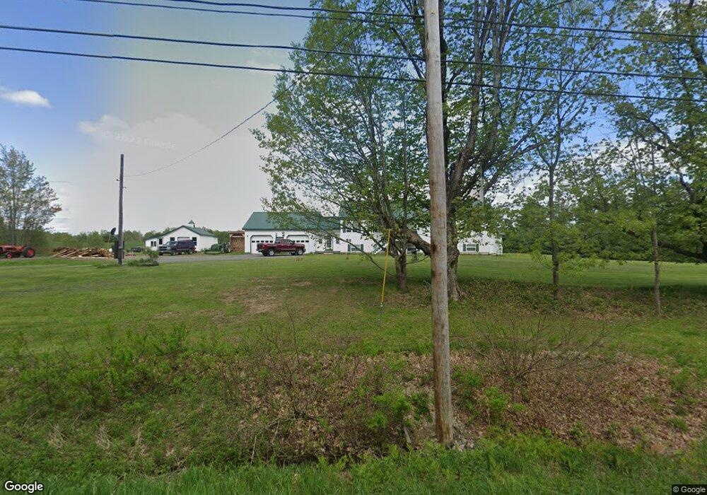
978 Anson Rd Starks, ME 04911
Estimated Value: $229,000 - $420,792
Studio
--
Bath
--
Sq Ft
8,973,360
Sq Ft Lot
About This Home
This home is located at 978 Anson Rd, Starks, ME 04911 and is currently estimated at $350,948. 978 Anson Rd is a home with nearby schools including Madison Area Memorial High School.
Create a Home Valuation Report for This Property
The Home Valuation Report is an in-depth analysis detailing your home's value as well as a comparison with similar homes in the area
Tax History
| Year | Tax Paid | Tax Assessment Tax Assessment Total Assessment is a certain percentage of the fair market value that is determined by local assessors to be the total taxable value of land and additions on the property. | Land | Improvement |
|---|---|---|---|---|
| 2024 | $4,708 | $326,950 | $60,490 | $266,460 |
| 2023 | $4,586 | $328,740 | $62,280 | $266,460 |
| 2022 | $4,188 | $329,750 | $63,290 | $266,460 |
| 2021 | $4,546 | $329,210 | $62,750 | $266,460 |
| 2020 | $5,244 | $332,960 | $66,500 | $266,460 |
| 2019 | $5,186 | $278,070 | $57,460 | $220,610 |
| 2018 | $4,894 | $278,070 | $57,460 | $220,610 |
| 2017 | $4,658 | $278,070 | $57,460 | $220,610 |
| 2016 | $4,388 | $225,046 | $48,560 | $176,486 |
| 2015 | $4,501 | $225,046 | $48,560 | $176,486 |
| 2014 | $4,388 | $225,046 | $48,560 | $176,486 |
| 2013 | $4,445 | $225,046 | $48,560 | $176,486 |
Source: Public Records
Map
Nearby Homes
- 78 Fording Rd
- 1.3 Mayhew Rd
- map6 lot1 Mayhew Rd
- Map6 lot2 Mayhew Rd
- 8 Magnolia Ln
- 6 Myrtle St
- Lot 2-1 Father Rasle Rd
- Lot 2 Father Rasle Rd
- 83 Preble Ave
- 88 Pine St
- 8 Preble Ave
- 8 Spring St
- 95 Main St
- M19 L57-58 Old Point Ave
- 735 Sandy River Rd
- 12 Jones St
- 14 Old Point Ave
- 29 Wilson St
- 9 Heald St
- 15 Garfield St
Your Personal Tour Guide
Ask me questions while you tour the home.