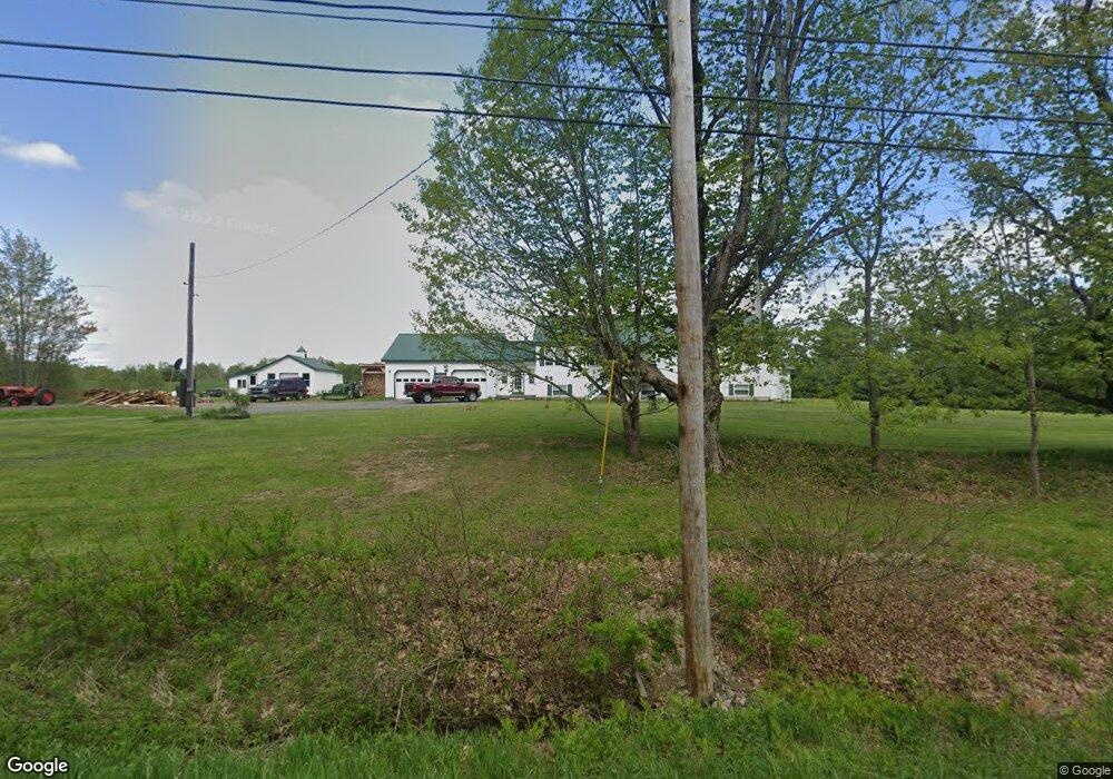
978 Anson Rd Starks, ME 04911
Estimated Value: $229,000 - $451,448
Studio
--
Bath
--
Sq Ft
206
Acre Lot
About This Home
This home is located at 978 Anson Rd, Starks, ME 04911 and is currently estimated at $360,862. 978 Anson Rd is a home with nearby schools including Madison Area Memorial High School.
Create a Home Valuation Report for This Property
The Home Valuation Report is an in-depth analysis detailing your home's value as well as a comparison with similar homes in the area
Tax History
We collect this data history from publicly available records. To have your information removed, we recommend requesting removal directly through your county’s website.
| Year | Tax Paid | Tax Assessment Tax Assessment Total Assessment is a certain percentage of the fair market value that is determined by local assessors to be the total taxable value of land and additions on the property. | Land | Improvement |
|---|---|---|---|---|
| 2024 | $4,708 | $326,950 | $60,490 | $266,460 |
| 2023 | $4,586 | $328,740 | $62,280 | $266,460 |
| 2022 | $4,188 | $329,750 | $63,290 | $266,460 |
| 2021 | $4,546 | $329,210 | $62,750 | $266,460 |
| 2020 | $5,244 | $332,960 | $66,500 | $266,460 |
| 2019 | $5,186 | $278,070 | $57,460 | $220,610 |
| 2018 | $4,894 | $278,070 | $57,460 | $220,610 |
| 2017 | $4,658 | $278,070 | $57,460 | $220,610 |
| 2016 | $4,388 | $225,046 | $48,560 | $176,486 |
| 2015 | $4,501 | $225,046 | $48,560 | $176,486 |
| 2014 | $4,388 | $225,046 | $48,560 | $176,486 |
| 2013 | $4,445 | $225,046 | $48,560 | $176,486 |
Source: Public Records
Map
Nearby Homes
- 78 Fording Rd
- 1.3 Mayhew Rd
- map6 lot1 Mayhew Rd
- Map6 lot2 Mayhew Rd
- 8 Fern St
- Lot 2-1 Father Rasle Rd
- Lot 2 Father Rasle Rd
- 412 W Mills Rd
- 8 Preble Ave
- 8 Spring St
- 9 Spring St
- 63 Mayhew Rd
- 19 Summer St
- M19 L57-58 Old Point Ave
- 12 Jones St
- 17 Faulkner Hill Rd
- 13 Mayhew Rd
- 69 Main St
- 29 Wilson St
- 81 Nichols St
Your Personal Tour Guide
Ask me questions while you tour the home.