Estimated Value: $290,000 - $341,000
3
Beds
1
Bath
1,847
Sq Ft
$167/Sq Ft
Est. Value
About This Home
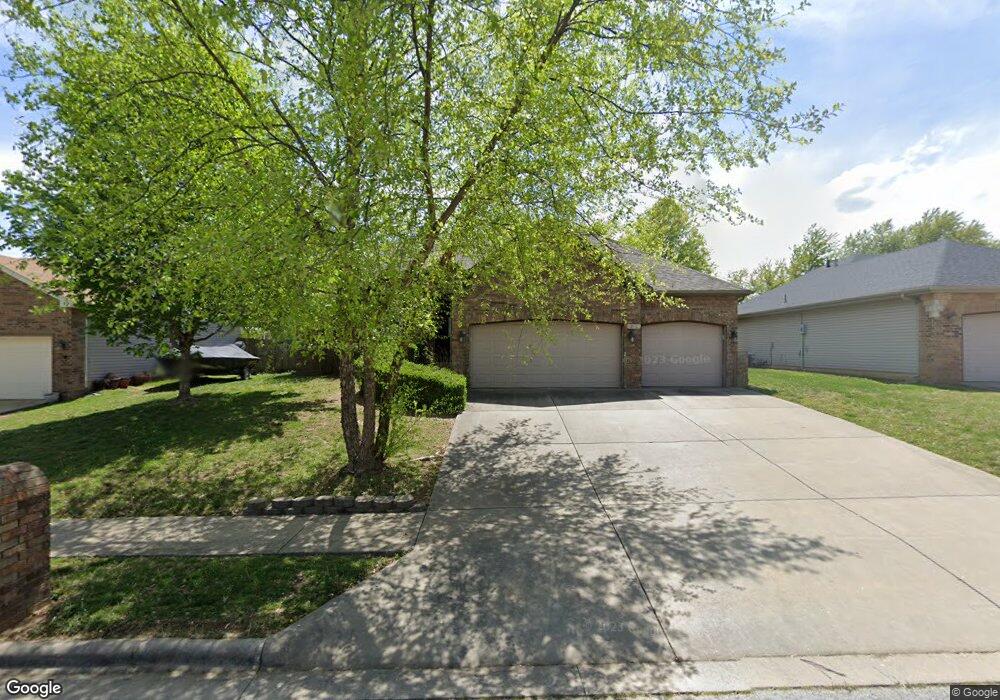
This home is located at 978 W Bates Dr, Nixa, MO 65714 and is currently estimated at $307,906, approximately $166 per square foot. 978 W Bates Dr is a home with nearby schools including Mathews Elementary School, Nicholas A. Inman Intermediate School, and Nixa Junior High School.
Ownership History
Date
Name
Owned For
Owner Type
Purchase Details
Closed on
Dec 1, 2006
Sold by
Martinov Edward and Martinov Alla
Bought by
Vanvansomeren Thomas Van and Someren Cynthia Van
Current Estimated Value
Home Financials for this Owner
Home Financials are based on the most recent Mortgage that was taken out on this home.
Original Mortgage
$127,920
Outstanding Balance
$74,864
Interest Rate
6.3%
Mortgage Type
New Conventional
Estimated Equity
$233,042
Purchase Details
Closed on
Apr 7, 2006
Sold by
Mayo Craig and Mayo Linda
Bought by
Martinov Edward
Create a Home Valuation Report for This Property
The Home Valuation Report is an in-depth analysis detailing your home's value as well as a comparison with similar homes in the area
Home Values in the Area
Average Home Value in this Area
Purchase History
| Date | Buyer | Sale Price | Title Company |
|---|---|---|---|
| Vanvansomeren Thomas Van | -- | None Available | |
| Martinov Edward | -- | Fidelity Title Agency |
Source: Public Records
Mortgage History
| Date | Status | Borrower | Loan Amount |
|---|---|---|---|
| Open | Vanvansomeren Thomas Van | $127,920 |
Source: Public Records
Tax History
| Year | Tax Paid | Tax Assessment Tax Assessment Total Assessment is a certain percentage of the fair market value that is determined by local assessors to be the total taxable value of land and additions on the property. | Land | Improvement |
|---|---|---|---|---|
| 2025 | $1,909 | $32,550 | -- | -- |
| 2024 | $1,909 | $30,630 | -- | -- |
| 2023 | $1,909 | $30,630 | $0 | $0 |
| 2022 | $1,816 | $29,110 | $0 | $0 |
| 2021 | $1,817 | $29,110 | $0 | $0 |
| 2020 | $1,637 | $25,020 | $0 | $0 |
| 2019 | $1,637 | $25,020 | $0 | $0 |
| 2018 | $1,525 | $25,020 | $0 | $0 |
| 2017 | $1,525 | $25,020 | $0 | $0 |
| 2016 | $1,501 | $25,020 | $0 | $0 |
| 2015 | $1,503 | $25,020 | $25,020 | $0 |
| 2014 | $1,465 | $24,990 | $0 | $0 |
| 2013 | $1,467 | $24,990 | $0 | $0 |
| 2011 | -- | $49,980 | $0 | $0 |
Source: Public Records
Map
Nearby Homes
- 891 W Pembrook Ave
- 601 S Gregg Rd
- 788 S Hackberry Ave
- 912 Wesley Ave
- 752 W Mimosa Ct
- 1280 W Butterfield Dr
- 721 W Butterfield Dr
- 1202 Glen Oaks Dr
- 1257 W Bridgewood Place
- 704 W Savanna Ct
- 605 Glen Oaks Cir
- 1266 W Bridgewood Place
- 867 S Irontree Ct
- 911 S Silverwood Ln
- 611 W Coventry Rd
- 649 W Arbor Glenn Dr
- 1109 W Scenic Hills Dr
- Sw Corner Highway 160 & St S
- 1334 W Mount Vernon St
- 907 S Silverwood Ln
Your Personal Tour Guide
Ask me questions while you tour the home.